Hello Friends,
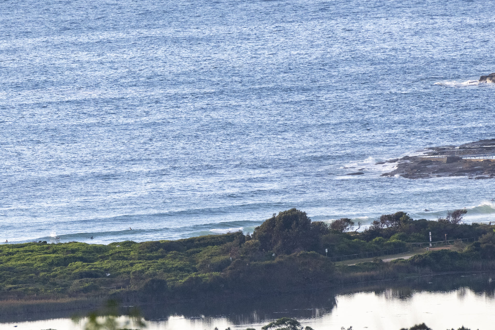
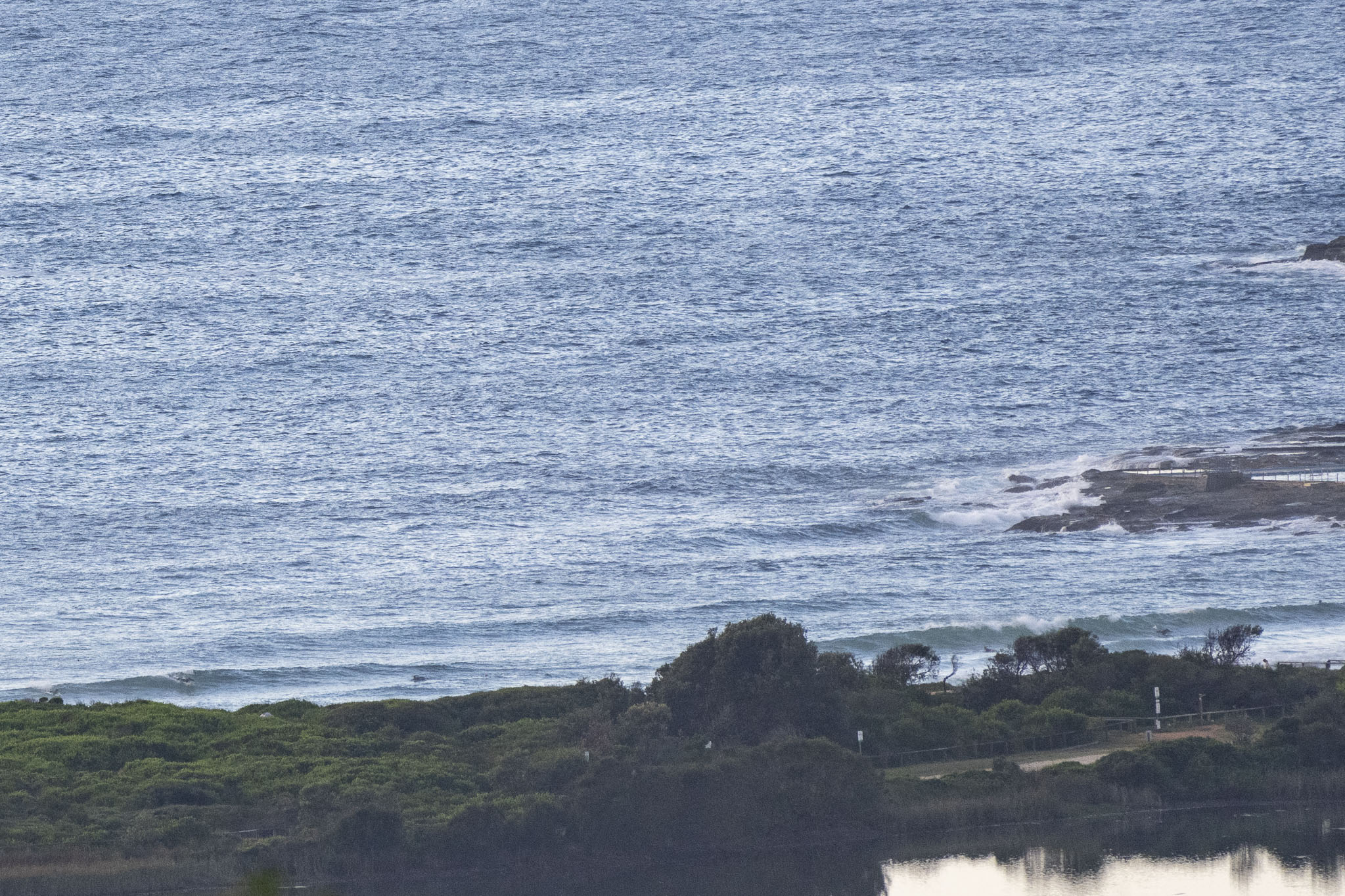
Another small but clean morning at Dee Why. Waves looked to be mostly in the knee to waist-high range and as of 0800 the wind was NNW at 4-5 kts. As the day goes along, the wind should settle to the north and get into the 10-15 kt range. Tide was coming in at report time and will hit a 1.78 m high at 1025. The swell out at sea was 1.3 metres at 9 seconds from the SE. Ocean is back up to 24C.
Have a good one and check back later for the Goat’s weekly words of surf wisdom.
Weather Situation
A high pressure system over the southern Tasman Sea extends a ridge towards the northern New South Wales coast. Meanwhile, a weak low pressure system sits east of the Gippsland coast and moves eastwards into the Tasman Sea over the next few days, with an associated trough bringing a southerly wind change along the New South Wales coast from Thursday, before stalling off the north coast on Saturday. Following this, another high pressure ridge will push into the Tasman Sea bringing a return to easterly winds.
Forecast for Thursday until midnight
- Winds
- Northerly 10 to 15 knots, reaching up to 25 knots offshore in the late morning.
- Seas
- 1 to 1.5 metres, decreasing to 1 metre by early evening.
- Swell
- Southeasterly around 1 metre.
- Weather
- Partly cloudy. 70% chance of showers. The chance of a thunderstorm.
Friday 24 March
- Winds
- Northwesterly 10 to 15 knots shifting southeasterly in the late morning.
- Seas
- Around 1 metre.
- Swell
- Northeasterly around 1 metre.
- Weather
- Partly cloudy. 90% chance of showers. The chance of a thunderstorm.
Saturday 25 March
- Winds
- Southeasterly 15 to 20 knots.
- Seas
- Around 1 metre, increasing to 1 to 1.5 metres during the morning.
- 1st Swell
- Southerly around 1 metre.
- 2nd Swell
- Southeasterly around 1 metre.
- Weather
- Cloudy. 90% chance of showers. The chance of a thunderstorm.


