Hello Friends,
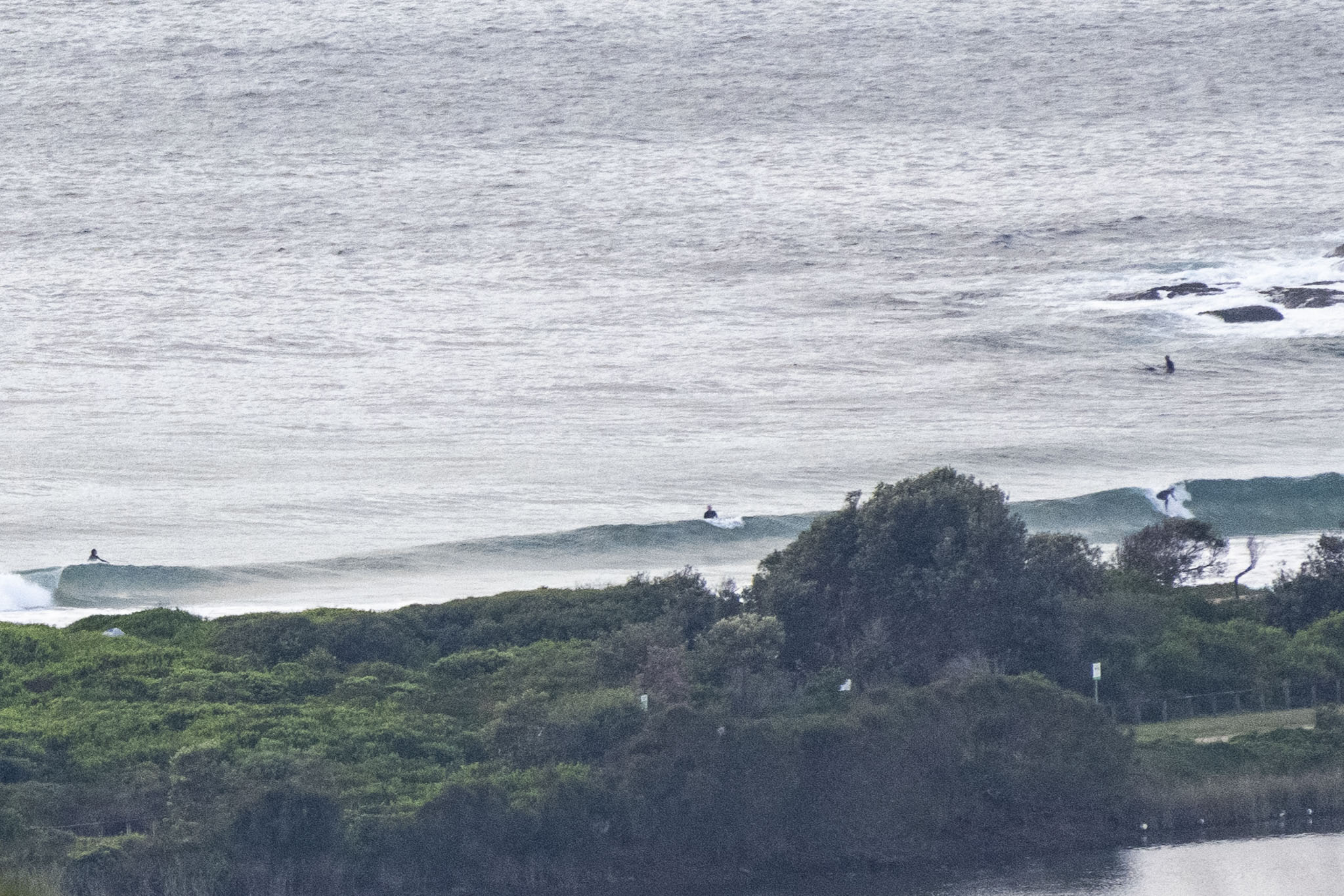
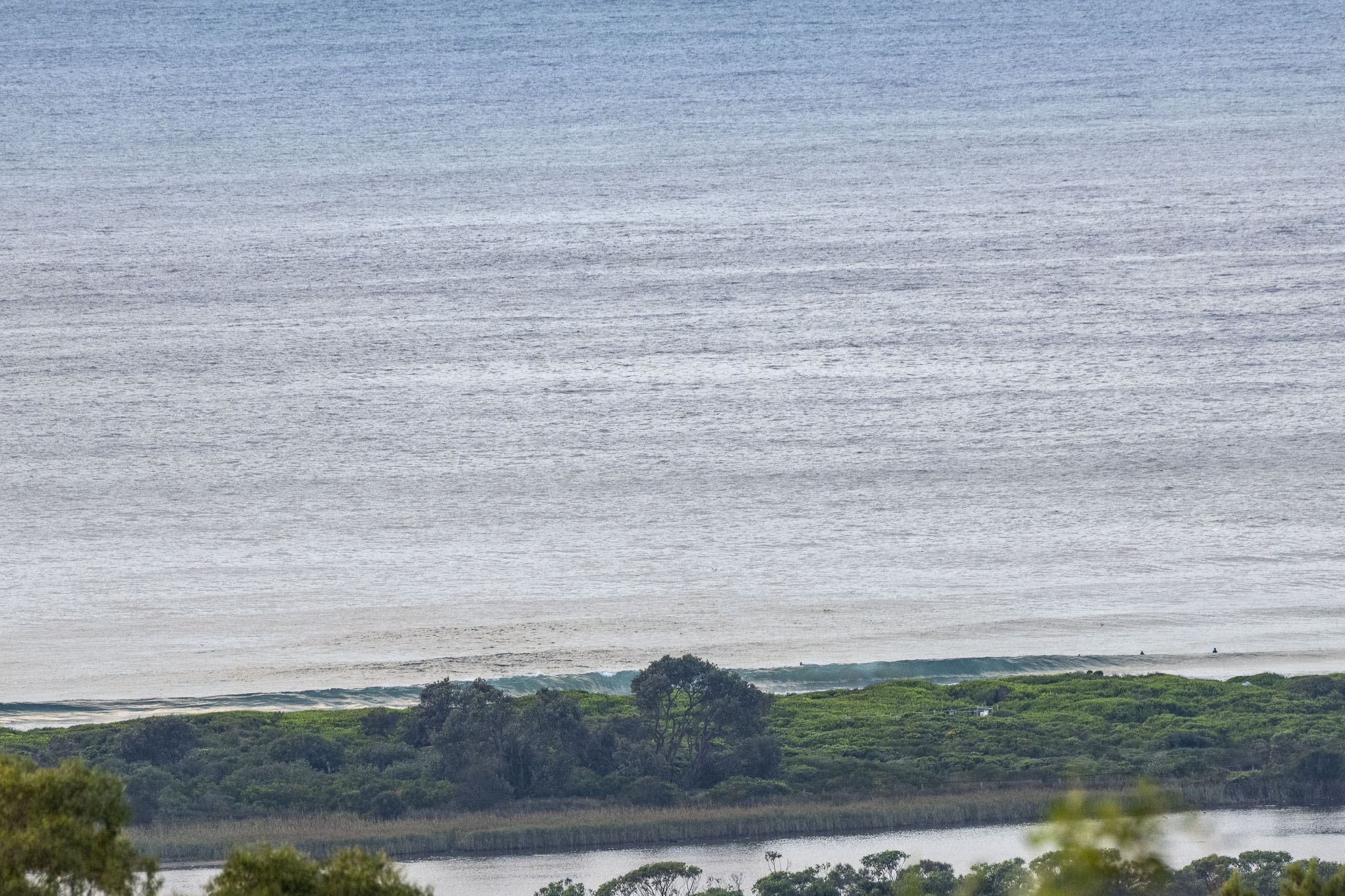
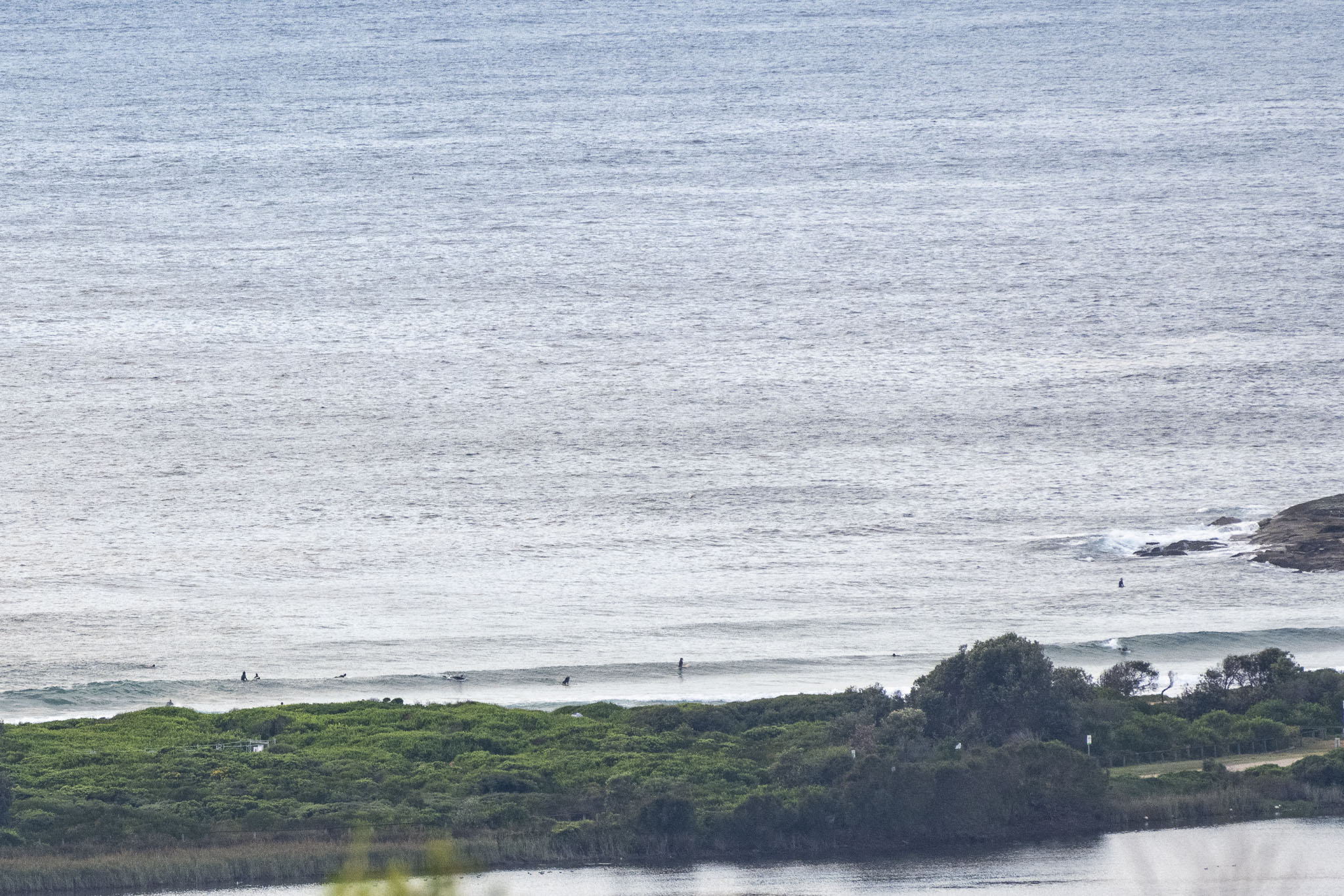
Wow. Another glassy little morning along the beaches and there are knee to waist-ish high waves turning up every now and then.
Although the forecast is for rain, this morning dawned partly cloudy but with no rain on the radar. Wind was lightly offshore and out at sea the swell was 1.2 metres from the SE at 10 seconds apart. Tide was coming off the 0500 low and will be back to the 1.64 metre high at 1110. Water was clean and 24.
Wondering about the weekend’s prospects? Then jump over to the Goat’s fresh new forecast for the skinny.
Have a good one!
Weather Situation
High pressure ridge to the northeast will be replace by trough and associated south to southeasterly change over the coming days. Easterly winds will develop into the weekend as broad area of high pressure stretches across the waters.
Forecast for Friday until midnight
- Winds
- South to southwesterly 10 to 15 knots, turning southeasterly in the afternoon. Winds reaching up to 20 knots offshore in the late evening.
- Seas
- Below 1 metre.
- Swell
- Northeasterly around 1 metre.
- Weather
- Partly cloudy. 95% chance of showers. The chance of a thunderstorm.
Saturday 25 March
- Winds
- Southeasterly 15 to 25 knots.
- Seas
- Around 1 metre, increasing to 1 to 2 metres during the morning.
- Swell
- East to northeasterly below 1 metre, tending southeasterly 1 to 1.5 metres during the morning.
- Weather
- Partly cloudy. 90% chance of showers. The chance of a thunderstorm.
Sunday 26 March
- Winds
- East to southeasterly 10 to 15 knots tending east to northeasterly below 10 knots during the day.
- Seas
- 1 to 1.5 metres, decreasing below 1 metre during the afternoon.
- 1st Swell
- Southerly around 1 metre, increasing to 1 to 1.5 metres during the morning.
- 2nd Swell
- Southeasterly 1.5 metres, tending easterly 1.5 metres during the afternoon.
- Weather
- Partly cloudy.


