
Hello Friends,
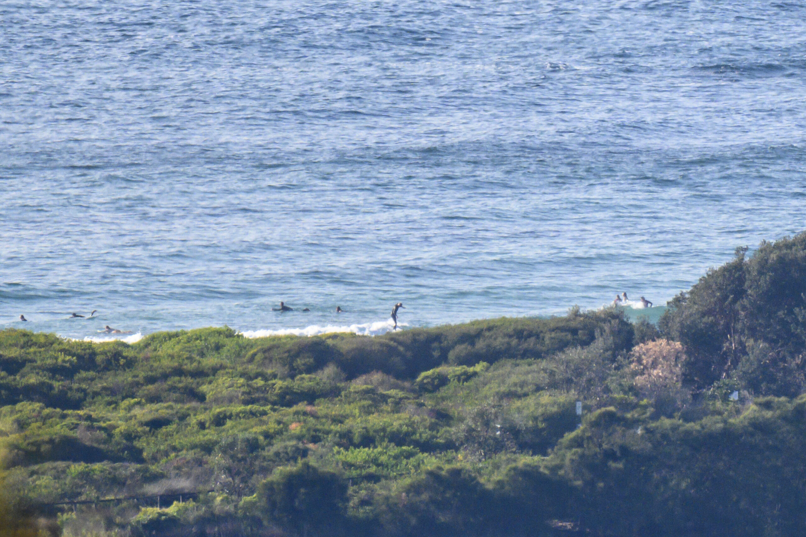
Still very small and weak on the surf front this Friday morning. The wind has been coming lightly (5-6 kts) from the WNW since 0600 and swell at sea as of 0500 was 1.2 metres from the NE at just 6 seconds apart. As the pictures show, that means wave faces in the knee to maybe waist-high range at Dee Why. Tide was high at 0710 and will be back to low at 1315. Weather should be partly cloudy with a high of 27 and the chance of a shower at 30%. Water has nudged up to 20.
The Goat’s rolled out a fresh new forecast overnight, and as always, I commend his wisdom to you.

Weather Situation
A slow-moving high pressure system over the Tasman Sea extends a ridge along the coast while an inland trough lies in the far west of New South Wales. The trough is moving east and is expected to cross the southern and central parts of the coast during the weekend.
Forecast for Friday until midnight
Strong Wind Warning for Friday for Sydney Coast
- Winds
- Northerly 15 to 25 knots turning northeasterly in the middle of the day. Winds reaching up to 30 knots offshore during the afternoon and evening.
- Seas
- 1.5 to 2.5 metres.
- Swell
- Northeasterly around 1 metre.
- Weather
- Partly cloudy. 50% chance of showers. The chance of a thunderstorm.
Saturday 11 November
Strong Wind Warning for Saturday for Sydney Coast
- Winds
- North to northeasterly 20 to 30 knots.
- Seas
- 2 to 3 metres.
- Swell
- Northeasterly around 1 metre.
- Weather
- Mostly sunny.
Sunday 12 November
- Winds
- Northerly 20 to 30 knots shifting south to southwesterly 15 to 25 knots during the morning then tending south to southeasterly during the afternoon.
- Seas
- 2 to 3 metres, decreasing to 1 to 2 metres during the morning.
- 1st Swell
- Northeasterly around 1 metre, increasing to 1 to 2 metres during the morning.
- 2nd Swell
- Southerly around 1 metre.
- Weather
- Partly cloudy.


