Hello Friends,
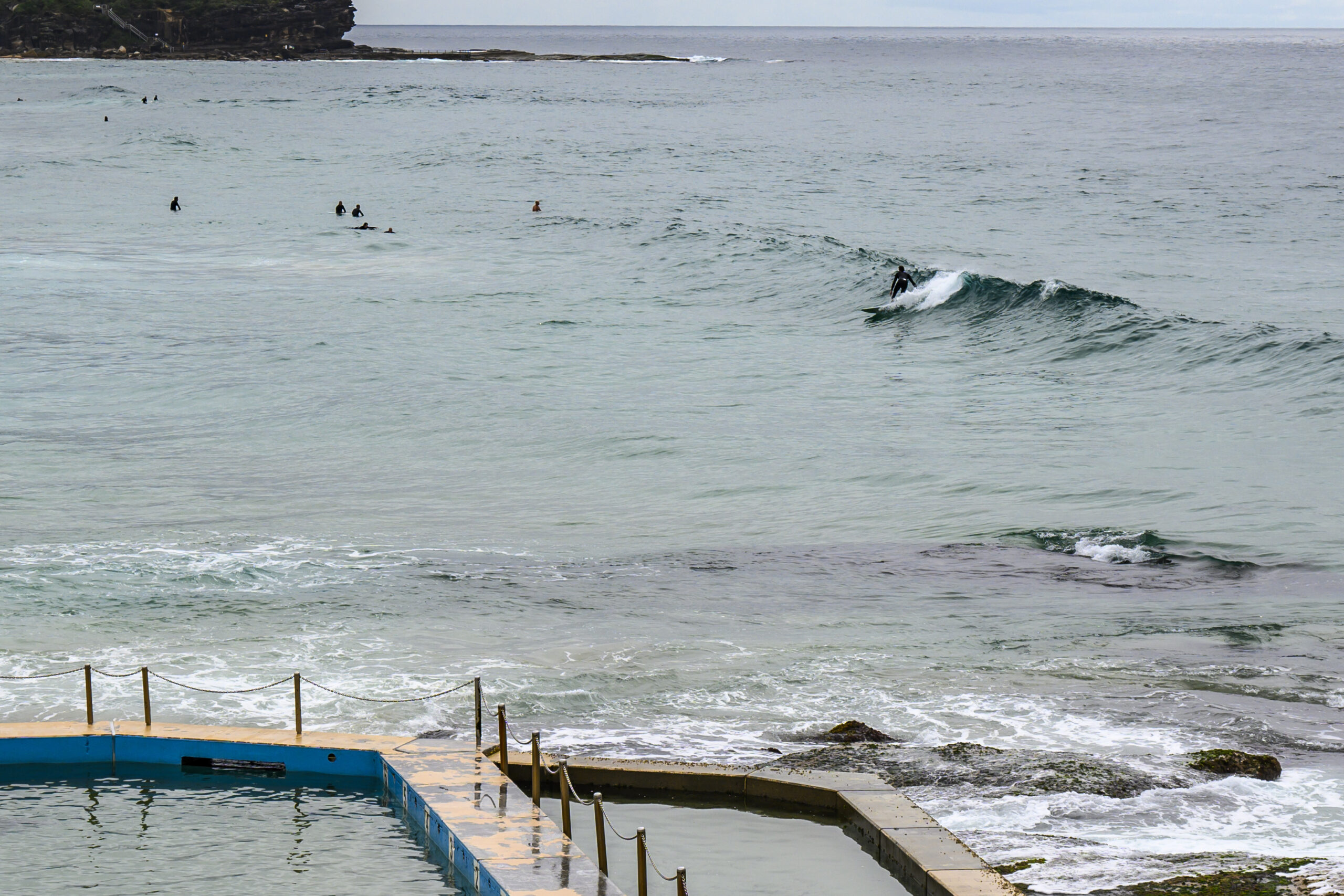
It was drizzling steadily as Friday got started along the beaches. Wind has been light and variable since around 0300, and as of 0500 the MHL buoy was detecting 1.5 metres of 7-second bump from the south.
Below, a few snaps from around 0900-0930…


Weather Situation
A weak low off the New South Wales coast is bringing southerly winds to central and southern waters, while a high pressure system over the Tasman Sea directs northeasterly winds over northern waters. The low will gradually decay early this morning as a new high strengthens over the Tasman Sea, restoring northeasterly winds throughout today. The next trough and southerly change looks set to reach the southern coast later Sunday, then to continue north on Monday.
Forecast for Friday until midnight
- Winds
- Variable below 10 knots becoming northeasterly 15 to 20 knots in the morning.
- Seas
- Around 1 metre, increasing to 1 to 1.5 metres during the afternoon.
- Swell
- Southerly 1 to 1.5 metres, decreasing to around 1 metre around midday.
- Weather
- Cloudy. 50% chance of showers.
Saturday 25 November
- Winds
- North to northeasterly 15 to 25 knots.
- Seas
- 1.5 to 2 metres.
- Swell
- Southerly around 1 metre.
- Weather
- Cloudy. 70% chance of showers. The chance of a thunderstorm.
Sunday 26 November
- Winds
- Northerly 15 to 25 knots decreasing to 10 to 15 knots during the morning.
- Seas
- 1 to 2 metres, decreasing to 1 metre during the morning.
- Swell
- Northeasterly below 1 metre.
- Weather
- Mostly sunny. The chance of a thunderstorm


