Hello Friends,
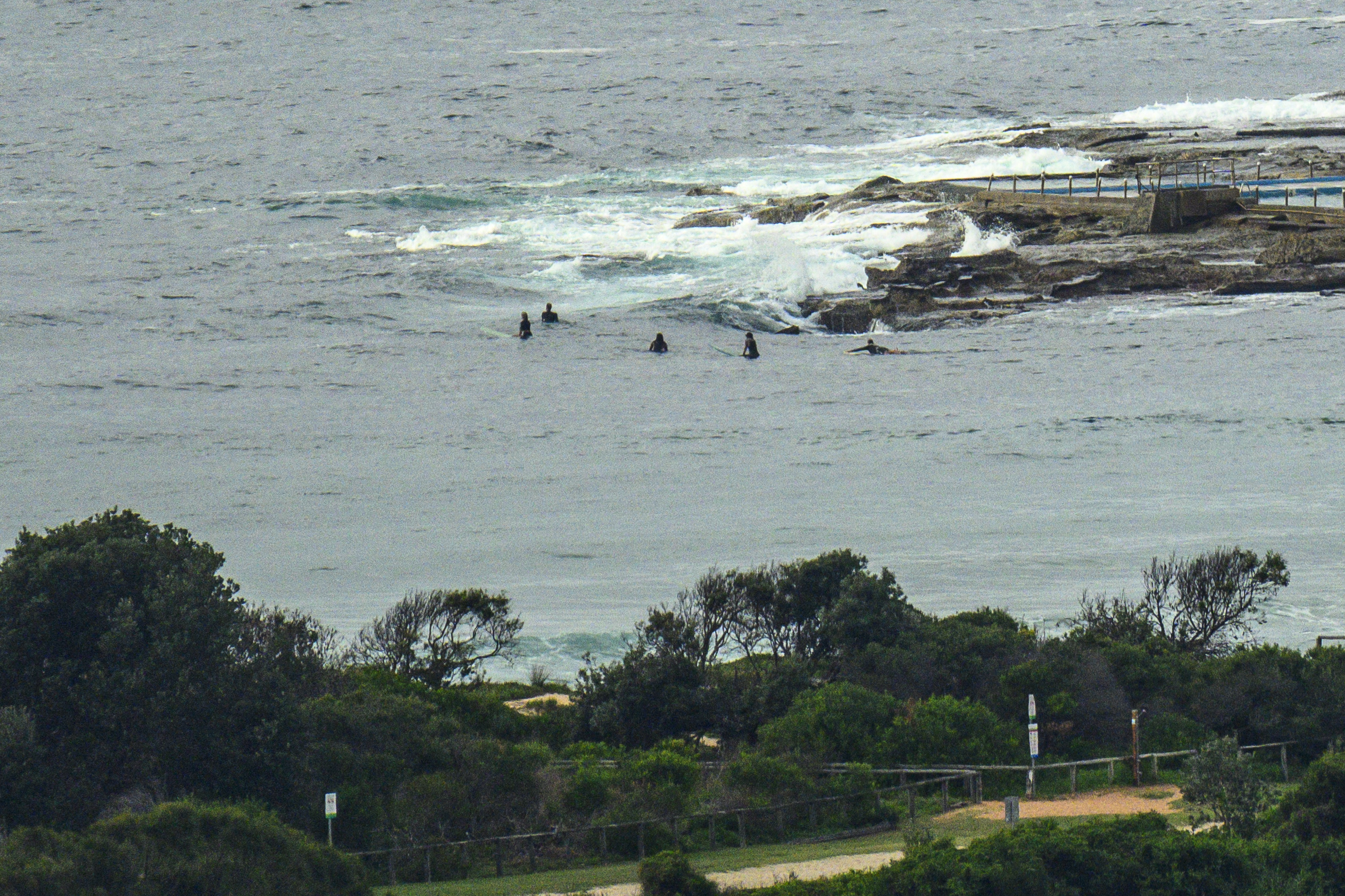
A few optimists in the water at the point around 0830 this morning, but in the time I watched, nothing came through for them. You’ll want to be walking up the beach toward Longy where there’s a wee bit more swell showing. At 0600 the MHL buoy was detecting 1.7 metres of 9-second period energy from just off dead south (174°). The wind swung into the westerly quarters in the early hours of the morning and was still coming from the west at 5-7 kts as of 0830. Tide was coming off the 1.6 m high at 0735 and will be back to low at 1410. The Bureau tells us we can expect a partly cloudy day with a high of 24. Water is clean and 23.
The ever-reliable Goat has inspected the portents and prospects for surf across the coming week, and as always, I commend his wisdom to you.
Go well with your Friday!

Weather Situation
A weakening ridge extends over the coastal waters in the wake of a trough. A weak high will move into the Tasman Sea on Friday, combining with a strong high near Western Australia to maintain a weak ridge over the coastal waters for several days.
Forecast for Friday until midnight
- Winds
- East to southeasterly below 10 knots becoming northeasterly in the middle of the day.
- Seas
- Below 1 metre.
- Swell
- Southeasterly 1 to 1.5 metres inshore, increasing to 1 to 2 metres offshore.
- Weather
- Partly cloudy.
Saturday 23 March
- Winds
- Variable about 10 knots.
- Seas
- Below 1 metre.
- Swell
- Southeasterly around 1 metre inshore, increasing to 1 to 1.5 metres offshore.
- Weather
- Partly cloudy.
Sunday 24 March
- Winds
- North to northeasterly below 10 knots becoming south to southwesterly during the morning then becoming east to northeasterly during the afternoon.
- Seas
- Below 1 metre.
- Swell
- South to southeasterly around 1 metre inshore, increasing to 1 to 1.5 metres offshore.
- Weather
- Mostly sunny.


