Hello Friends,
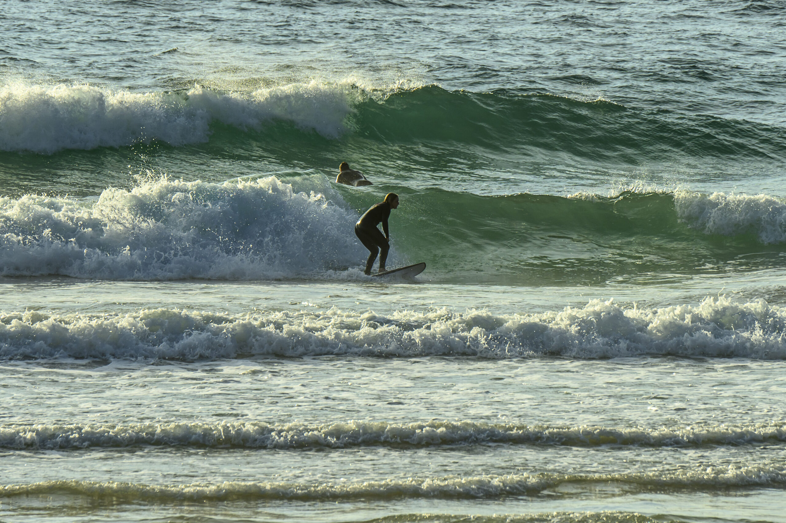
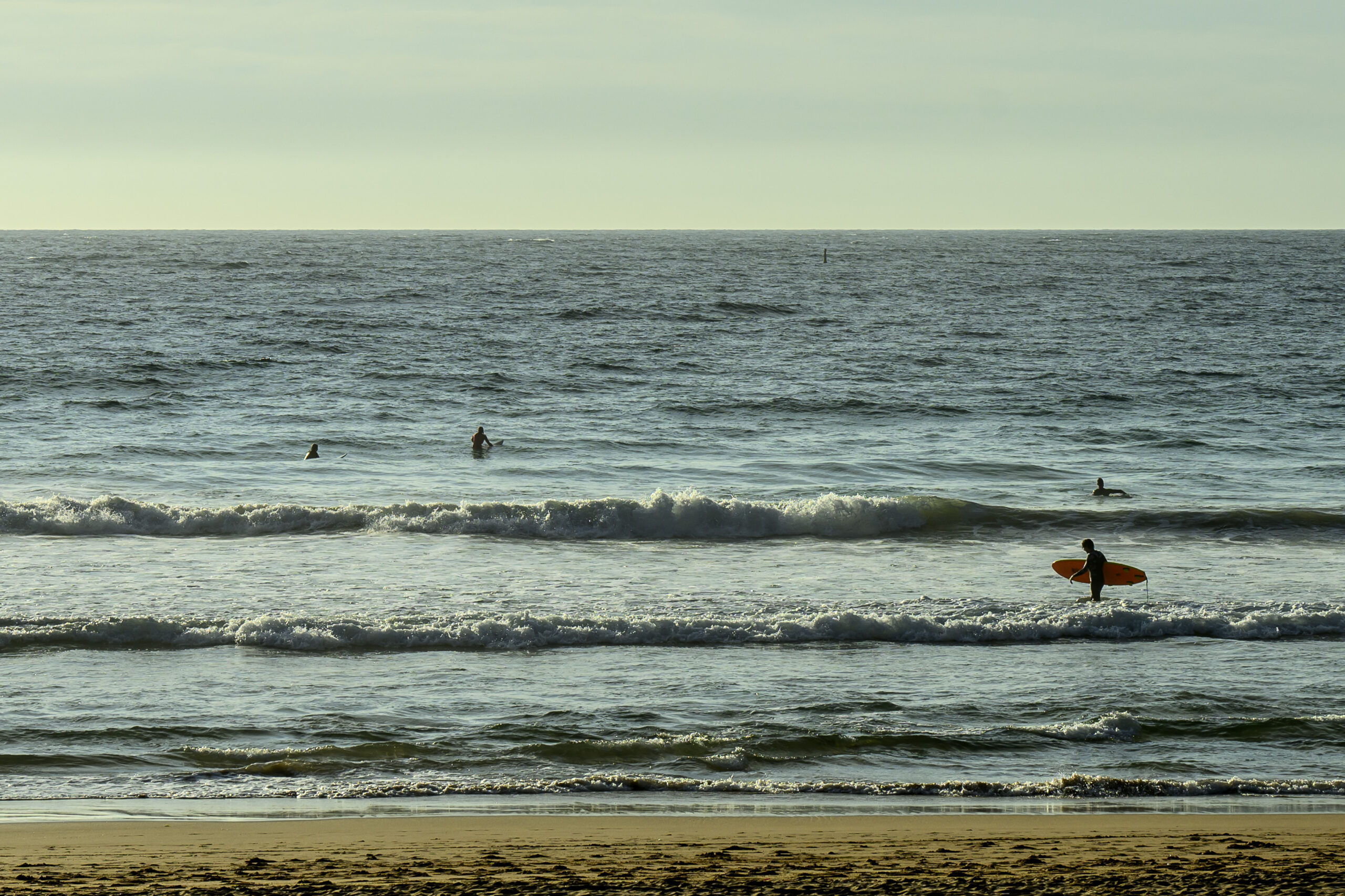
Very small and messy surf under clouding over skies this morning. Wind was out of the north at 10-15 kts and swell was 1.25 metres at just 6 seconds from the north east.
Surf prospects don’t look like improving until (maybe) the weekend.
Have a good one and catch you again tomorrow!
Weather Situation
A high pressure system over the Tasman Sea extends a ridge along the New South Wales coast. A cold front that is currently in the west of the state will drive a southerly change up the coast late today, reaching the Queensland border Wednesday morning. A high pressure system will move in behind this change, reaching the Bight on Thursday and extend a ridge along the NSW coast. On Friday the high is forecast to reach the Tasman Sea while a coastal trough develops along the north coast. There is potential for a low pressure system to form within the trough over Friday and the weekend.
Forecast for Tuesday until midnight
Strong Wind Warning for Tuesday for Sydney Coast
- Winds
- Northerly 15 to 20 knots, reaching up to 30 knots offshore during the morning. Winds shifting west to southwesterly in the evening.
- Seas
- 1.5 to 2.5 metres, decreasing to 1 to 1.5 metres during the afternoon.
- Swell
- Southerly below 1 metre.
- Weather
- Partly cloudy. 80% chance of showers. The chance of a thunderstorm.
Wednesday 3 April
- Winds
- Southwesterly 15 to 20 knots turning southeasterly 10 to 15 knots in the late morning and afternoon.
- Seas
- 1 to 1.5 metres, decreasing below 1 metre during the morning.
- Swell
- Southerly below 1 metre, increasing to 1 to 2 metres around midday.
- Weather
- Partly cloudy. 50% chance of showers.
Thursday 4 April
- Winds
- Southeasterly 10 to 15 knots turning easterly during the evening.
- Seas
- Around 1 metre.
- Swell
- Southerly 1.5 metres, increasing to 1.5 to 2 metres during the morning.
- Weather
- Partly cloudy. 90% chance of showers.


