
Hello Friends,
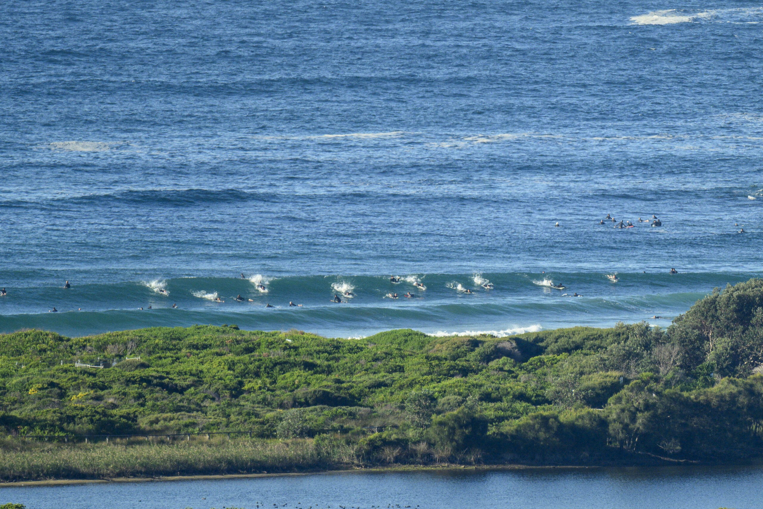
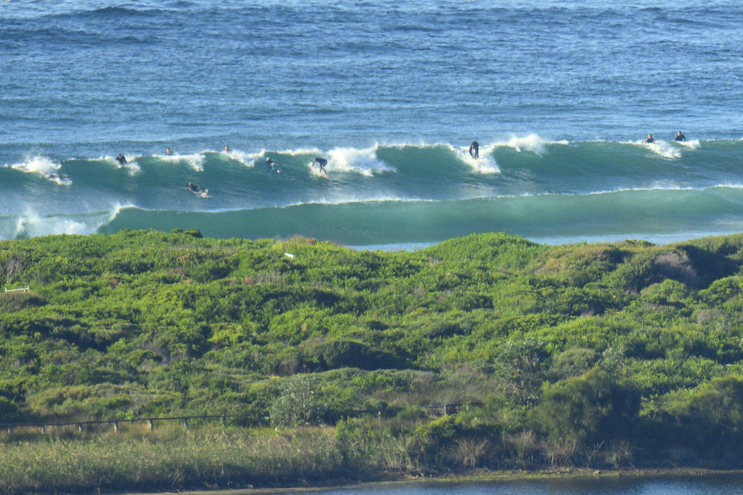
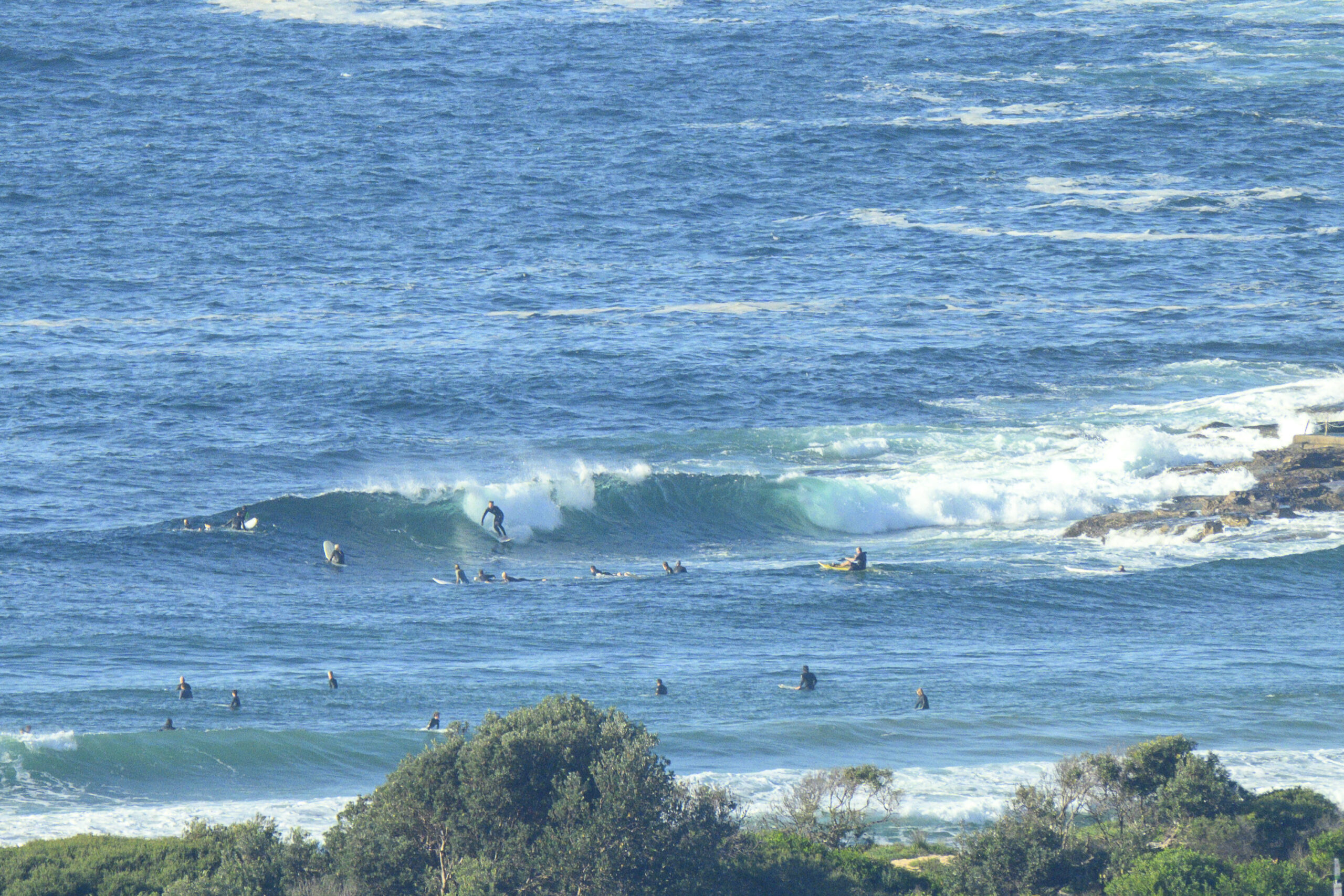
WSW wind and 3 metres of 9-second south swell were producing waves of a sort at Dee Why this morning. On the Friday morning a couple weeks ago when I was hobbling up the beach following my tussle with the rocks at the point, I noticed that a distinct peak had formed north of the club. Had I just sidelined myself as the super peak of yore had at long last reappeared? From the RealSurf crows nest, it certainly looked as though there was something of that sort possibly going on. There was a swarm of surfers on it, and despite the straight south nature of the swell, it looked catchable on the right set. The point was less well attended. Most of the energy was pushing past it, but now and again it popped up a bowling section for whomever was lucky enough to be in the exact spot.
The Bureau says the wind should’ve been southerly from the get-go, but as of 0830 it was still WSW and not going to hard. The outlook is for the period to briefly stretch out into the 13-15 second range this afternoon, so we can expect wave heights to push above the current shoulder-ish levels. But, of course the south wind’s likely to arrive with the energy pulse.
Tomorrow and Sunday should see swell staying south and pushing along at about this morning’s intensity along with weakening but still south wind. The week ahead isn’t looking too exciting surfwise for the front half, but maybe from midweek there’ll be more swell energy. Problem is, the weather call is for rainy stuff from Tuesday through Thursday along with rather chilly temps…
(Your correspondent has regained enough flexibility to (just) manage the climb aloft at RealSurf HQ for this morning’s snaps, but his giant hematoma will make it a challenge for some time yet. )
Weather Situation
A strong high south of the Bight extends a ridge over southeast Australia. It is expected to move east and become established over the Tasman Sea on the weekend, with a ridge extending to the north coast of New South Wales. The next cold front is expected to move through the south of the state during Monday and the remainder on Tuesday with another strong high developing over the Southern Ocean.
Forecast for Friday until midnight
- Winds
- Southerly 15 to 20 knots, reaching up to 25 knots offshore during the morning and early afternoon.
- Seas
- 1 to 2 metres, decreasing to 1 metre later in the evening.
- Swell
- Southerly 2.5 to 3 metres.
- Weather
- Partly cloudy. 50% chance of showers.
- Caution
- Large and powerful surf conditions in the afternoon and evening are expected to be hazardous for coastal activities such as crossing bars by boat and rock fishing.
Saturday 27 April
- Winds
- Southerly 10 to 15 knots turning east to southeasterly below 10 knots during the morning then becoming east to northeasterly in the evening.
- Seas
- Below 1 metre.
- Swell
- Southerly 2 to 3 metres.
- Weather
- Partly cloudy. 60% chance of showers.
Sunday 28 April
- Winds
- Variable about 10 knots becoming northerly 15 to 20 knots during the day.
- Seas
- Below 1 metre, increasing to 1 to 1.5 metres during the evening.
- Swell
- Southerly 1.5 to 2 metres, decreasing to 1 to 1.5 metres during the morning.
- Weather
- Partly cloudy.


