Hello Friends,
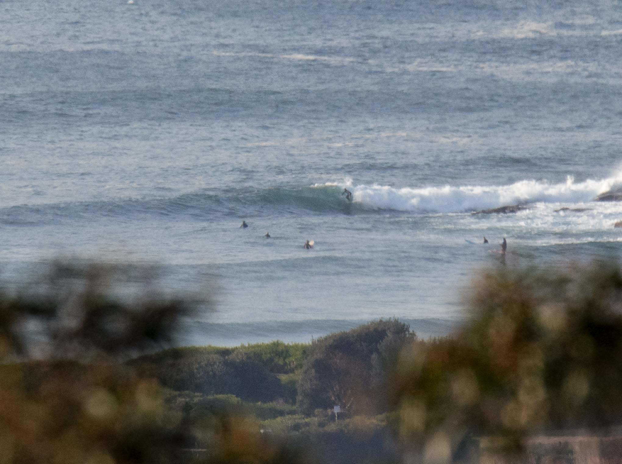
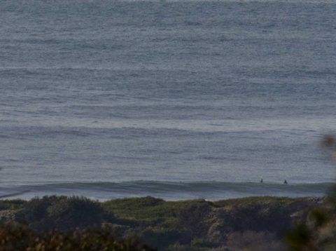
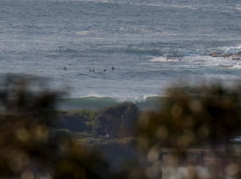
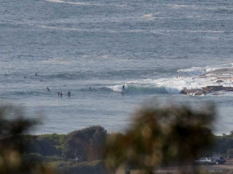
As of 0600 Sydney was seeing 2 m of 10 sec SSE swell (158°). At Dee Why that was showing as waist to chest high at the point and similar along the beach. Wind was coming lightly from the WNW at 0700 when I grabbed the snaps. It’s expected to swing to the NE by the time we get to lunch. Tide hits a 1.6 m high at 0855 and will be back to the low at 1455. Should be sunny all day too. Short version: get in early for best results.
Have a great Thursday everyone!

Weather Situation
A high pressure system centred over the far northeast of the state is expected move slowly east over over the northern Tasman Sea for the following few days, establishing generally light northerly winds over the waters. A trough may bring a weak southerly change to the southern waters during Friday, otherwise northerly winds will dominate, then strengthen ahead of the next cold front expected later in the weekend.
Forecast for Thursday until midnight
- Winds
- North to northwesterly about 10 knots tending north to northeasterly 15 to 20 knots in the middle of the day.
- Seas
- Below 1 metre, increasing to 1 to 1.5 metres during the afternoon.
- Swell
- Southerly 1 to 1.5 metres, decreasing to around 1 metre later in the evening.
- Weather
- Sunny.
Friday 22 September
- Winds
- North to northwesterly 10 to 15 knots tending north to northeasterly 15 to 20 knots in the middle of the day.
- Seas
- 1 to 1.5 metres.
- Swell
- Southerly around 1 metre.
- Weather
- Sunny.
Saturday 23 September
- Winds
- Northerly 20 to 30 knots.
- Seas
- Around 1 metre, increasing to 2 to 3 metres during the afternoon.
- Swell
- Southerly below 1 metre.
- Weather
- Sunny.


