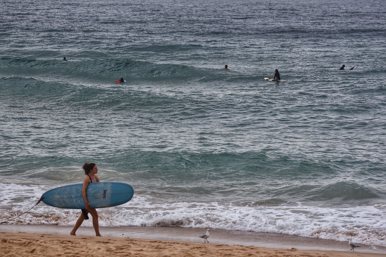
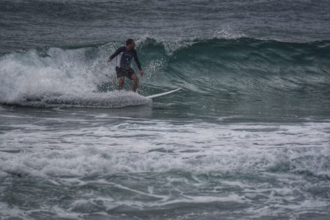
Tide was near the 0825 1.68 m high when I grabbed the snaps from Manly this morning. It was fat and full, but given how tiny it was, I’m not sure tide was the biggest issue. Waves were weak and struggling to make thigh high on the biggest ones. Plus, it was inconsistent and there were only three or four peaks along the beach. Nice and warm though!
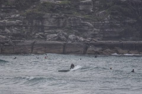
On to Curly and Dee Why for a look…

Weather Situation
Winds will tend northerly along most of the coast today ahead of a a cold front approaching from the southwest. This front is forecast to bring a strong southerly change to southern waters later today, with the change weakening during Thursday as it moves up the north coast. Winds will then briefly turn northerly again ahead of the next southerly change expected on Friday.
Forecast for Wednesday until midnight
Strong Wind Warning for Wednesday for Sydney Coast
- Winds
- Northeasterly 10 to 15 knots turning north to northwesterly below 10 knots in the evening, ahead of a gusty southerly change 20 to 30 knots in the late evening.
- Seas
- Around 1 metre.
- Swell
- Easterly below 1 metre.
- Weather
- Cloud clearing.
Thursday 15 February
Strong Wind Warning for Thursday for Sydney Coast
- Winds
- Southerly 20 to 30 knots tending south to southeasterly 15 to 20 knots before dawn and becoming variable below 10 knots in the late morning. Winds becoming northeasterly 10 to 15 knots in the afternoon.
- Seas
- 1 to 2 metres, decreasing below 0.5 metres during the morning, then increasing to around 1 metre by early evening.
- 1st Swell
- Southerly around 1 metre, increasing to 1 to 1.5 metres during the morning.
- 2nd Swell
- Easterly around 1 metre.
- Weather
- Partly cloudy.
Friday 16 February
- Winds
- South to southwesterly 10 to 15 knots tending south to southeasterly 15 to 20 knots during the day.
- Seas
- Around 1 metre, increasing to 1 to 2 metres during the afternoon.
- Swell
- Easterly around 1 metre, increasing to 1.5 metres during the morning.
- Weather
- Partly cloudy.


