Hello Friends,
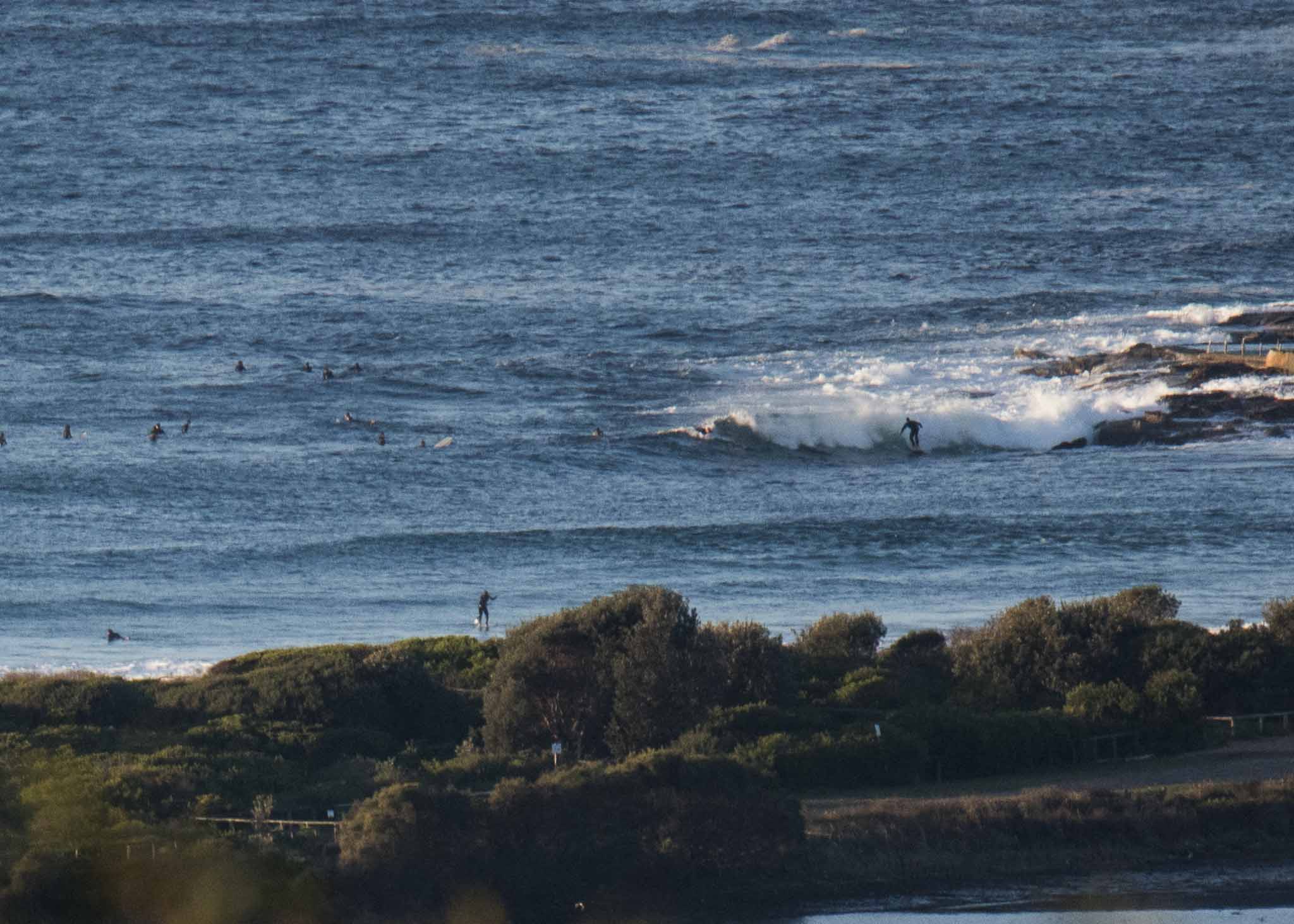
A hardy crew amongst them at the point and along the beach by 0730 this morning. Sunny skies and a chilly 8-9 kt WNW wind were creating an attractive setting for the 2 metre 9-10 sec SSE (165°) swell. It looked a bit inconsistent and the average wave face on sets was around the waist to chest high range at the point, but from where people were sitting, there must be a few bigger ones. The beach seemed to be about the same size as the point, maybe a touch bigger as you head north, but as we head toward low tide at noon I’d expect the shutdown to makeable ratio will go the wrong way.
The forecast calls for the swell to fade across the day and tomorrow should be a little smaller – but hopefully not flat. The dropping trend could see us back to flat or near enough by the end of the week.
Speaking of next week, I’ll be back in postcard mode for July as I travel through some non-surf corners of the world. As usual I’ll try to take advantage of the time zones to post early summaries of the prospects for Sydney, but it’ll be sporadic I’m guessing.
Have yourself a great Monday everyone!
Weather Situation
A south to southwesterly flow over the waters will tend southeast to northeasterly during Tuesday as a high pressure system moves over the southwestern Tasman Sea extending a ridge to the northwest.
Forecast for Monday until midnight
- Winds
- South to southwesterly 10 to 15 knots tending south to southeasterly below 10 knots in the afternoon.
- Seas
- Below 1 metre.
- Swell
- Southerly 2 to 3 metres, decreasing to 2 metres by early evening.
- Weather
- Mostly sunny.
Tuesday 26 June
- Winds
- South to southeasterly about 10 knots becoming easterly in the late evening.
- Seas
- Below 1 metre.
- Swell
- Southerly 1.5 to 2 metres, decreasing to 1.5 metres during the morning.
- Weather
- Partly cloudy.
Wednesday 27 June
- Winds
- Variable about 10 knots becoming northeasterly 10 to 15 knots during the afternoon.
- Seas
- Below 1 metre.
- Swell
- Southerly 1.5 metres.
- Weather
- Partly cloudy.


