Hello Friends,
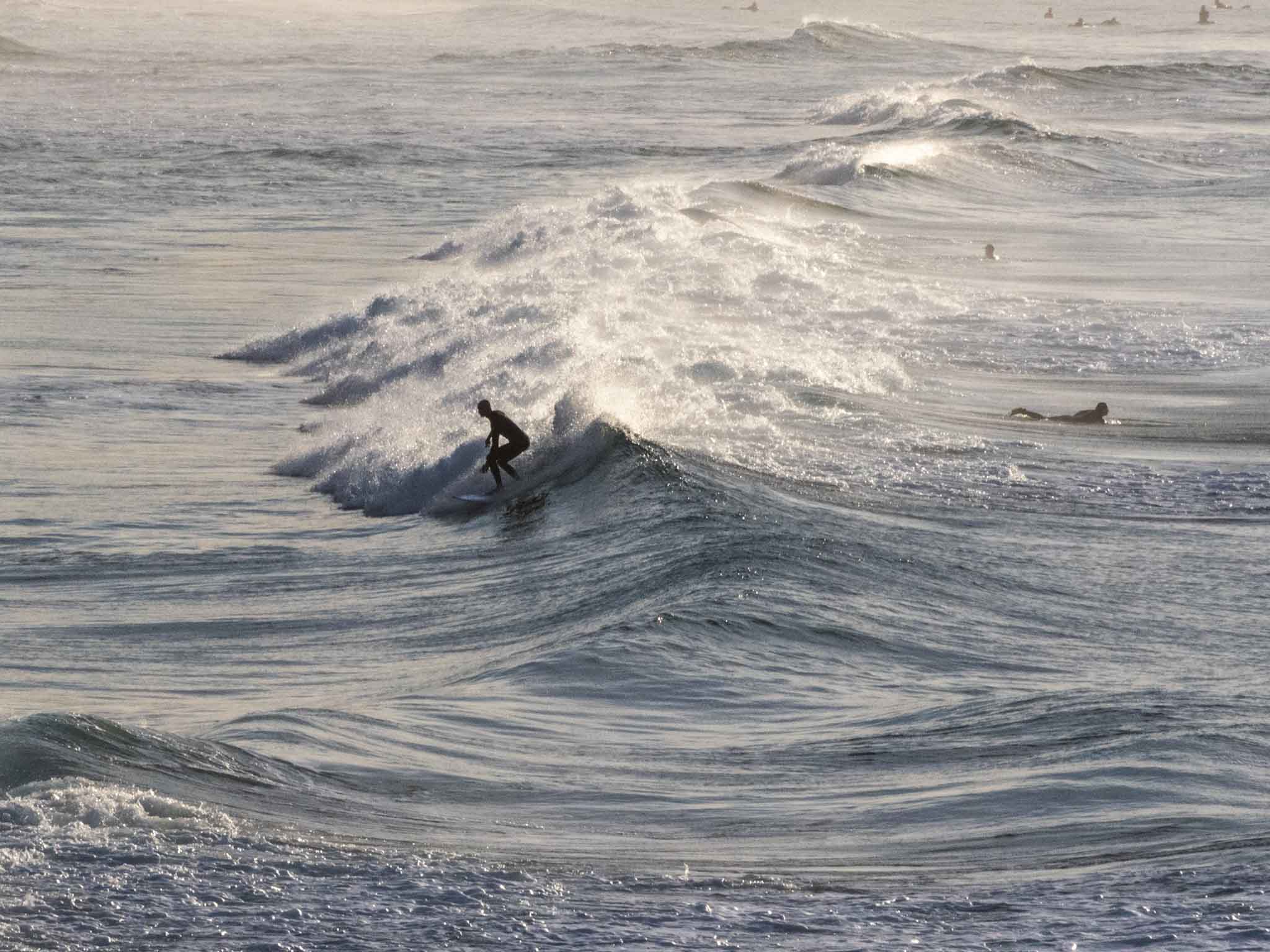
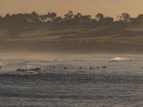
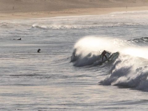
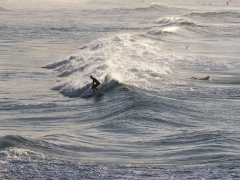
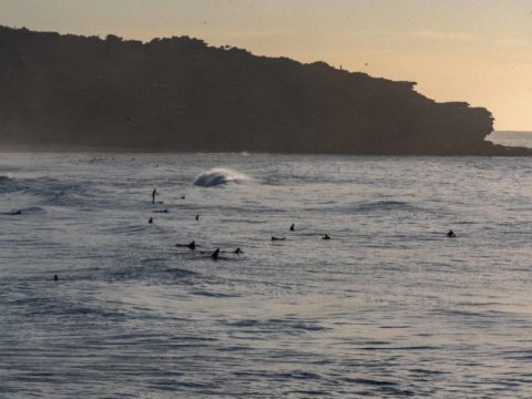
Yesterday’s little swell has largely faded this morning, but if you are really keen and very patient, waves in the knee to waist high range can be found at south exposures. The MHL buoy was showing a metre of 9 second SE bump off Sydney at 0700. First tide of the daylight hours was a low at 0845. It’ll be back to high at 1520. Wind should come from the westerly quarters all day and there is no real prospect of an improvement to the surf – sadly. Last night, the astonishingly reliable Goat posted his thoughts on the surf outlook for the coming week and as always, I commed his words of wisdom to you.
Have a great Friday everyone and go well with your plans!
.
Weather Situation
A high pressure ridge is strengthening over New South Wales. This high will be the dominant feature in the region over the coming days, apart from a weak cold front that is forecast to skim across the south late today and early Saturday.
Forecast for Friday until midnight
- Winds
- North to northwesterly 10 to 15 knots turning west to southwesterly in the late afternoon. Winds reaching up to 20 knots inshore in the late evening.
- Seas
- Around 1 metre.
- Swell
- South to southeasterly below 1 metre.
- Weather
- Partly cloudy.
Saturday 27 July
- Winds
- Southwesterly 10 to 15 knots turning south to southeasterly below 10 knots in the afternoon then tending southwesterly 10 to 15 knots in the late evening.
- Seas
- Around 1 metre.
- Swell
- Southeasterly below 1 metre.
- Weather
- Partly cloudy. The chance of a thunderstorm in the morning.
Sunday 28 July
- Winds
- Southwesterly 10 to 15 knots tending southerly during the day then becoming variable below 10 knots during the afternoon.
- Seas
- Around 1 metre.
- Swell
- Southerly below 1 metre.
- Weather
- Sunny.


