
Hello Friends,
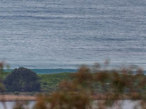
Swell’s dropped from yesterday’s peak of around 2.3 m at the start of the day to 1.5 m this morning. At 12 seconds, the period is about where it was, which is a good thing. Direction has changed from 160° to 140°. What was up to head and a bit on the biggest ones yesterday for the early is now more like waist plus at the point and along the beach. Wind was west at 5 kts as of 0820 but it’s expected to go south to SE later. Weather was overcast with showers. Tide hits a 1.5 m high at 0910 and will drop to a low of 0.3 m at 1450.
And the outlook? Well, the astoundingly reliable Goat has rolled out his latest prediction overnight, so check it out here.
Have a great Friday everyone!

.
Weather Situation
A high pressure system over the Bight is directing generally southerly winds along the New South Wales coast. The high is expected to slowly move east over the coming days, maintaining a ridge along the coast. A front will move quickly into the southern Tasman Sea over the weekend, resulting in a surge wind strength about the south coast.
Forecast for Friday until midnight
- Winds
- South to southeasterly 10 to 15 knots becoming variable below 10 knots in the late afternoon.
- Seas
- Around 1 metre.
- Swell
- Southerly 2 to 2.5 metres.
- Weather
- Partly cloudy. 50% chance of showers.
- Caution
- Large and powerful surf conditions are expected to be hazardous for coastal activities such as crossing bars by boat and rock fishing.
Saturday 3 August
- Winds
- Variable about 10 knots becoming west to northwesterly 10 to 15 knots in the middle of the day then tending southeast to southwesterly in the late afternoon.
- Seas
- Below 1 metre.
- Swell
- Southerly 1.5 to 2 metres.
- Weather
- Sunny.
Sunday 4 August
- Winds
- Southerly 10 to 15 knots becoming southeasterly below 10 knots during the evening.
- Seas
- Around 1 metre.
- Swell
- Southerly 2 metres, increasing to 2.5 to 3 metres during the morning.
- Weather
- Partly cloudy. 60% chance of showers


