Hello Friends,
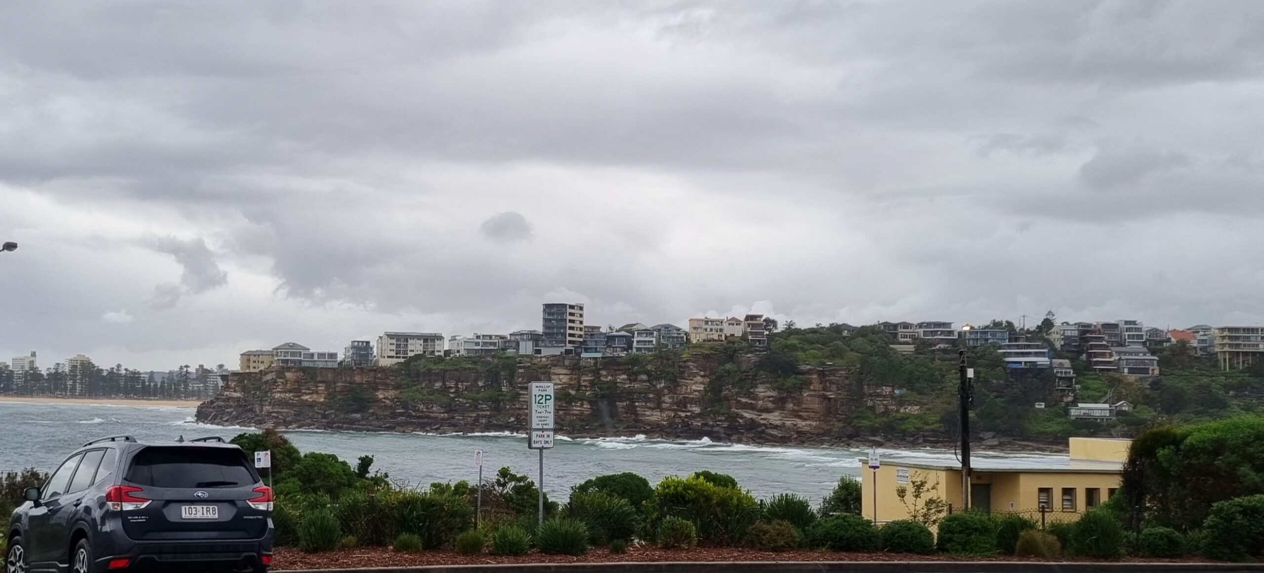
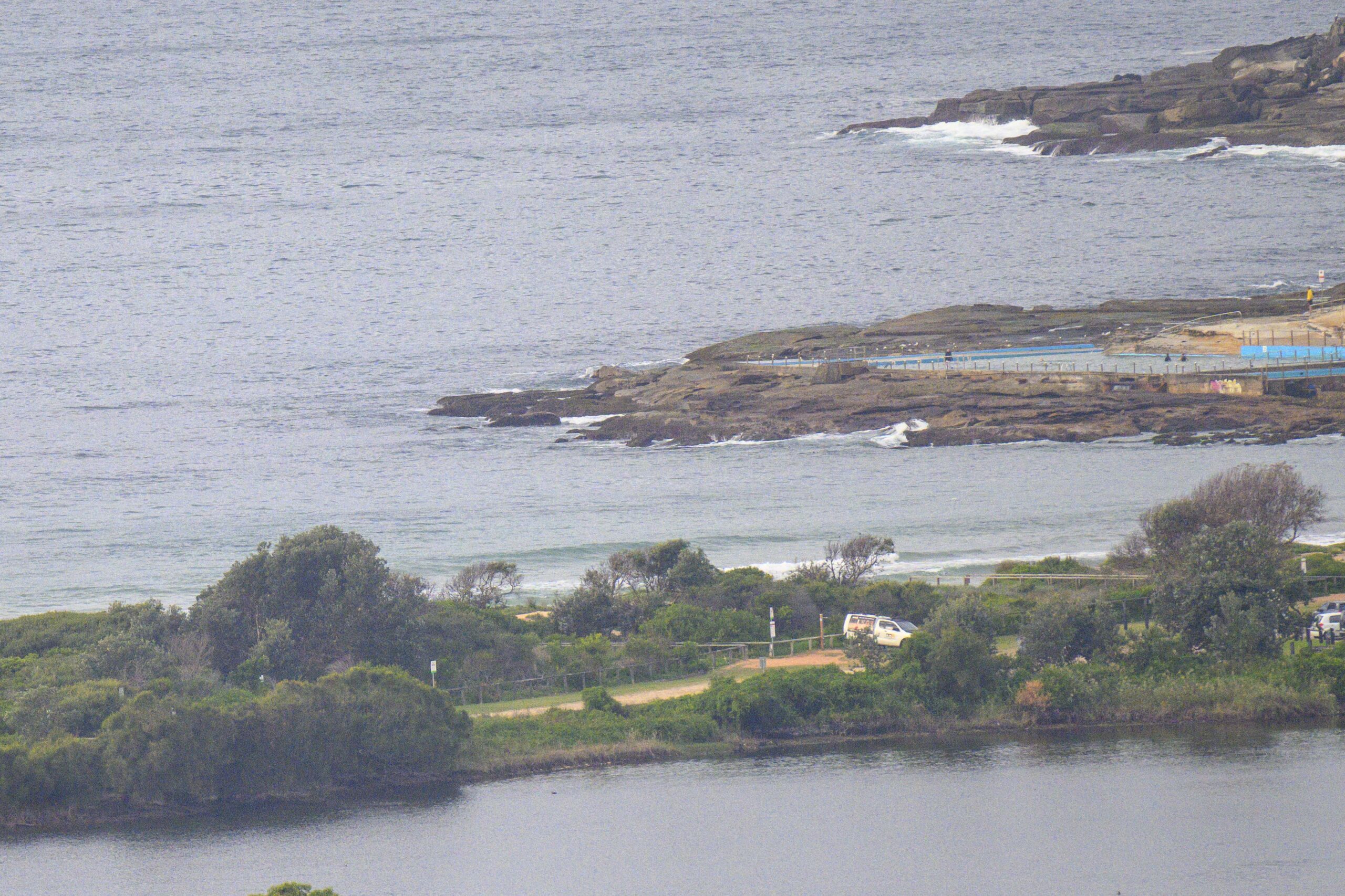
Went for a bit of a drive this morning and as my earlier reports have indicated, there’s not much going on. Fortunately it is not utterly and completely flat at those spots that like a bit of east to their 1 metre, 7 sec period windswell. Overall not that many people in the water either. When I saw Dee Why for instance there were about five people from kiddies to well past the pole.
Wind is set to get up to 13-18 kts from the N-NE ahead of a similar speed S-SE change (and possible thunderstorms) this afternoon.
Pulling back to look at the big picture, we can see Huey’s making a few minor adjustments over the next few days. Here’s the latest summary from the Bureau with more comments from me following…
A slow-moving high pressure system over the southern Tasman Sea is moving east of New Zealand. Another high will move into the southern Tasman behind a weak southerly change which will affect the southern half of the coast today. Northeasterly winds will re-establish along most of the coast on Thursday, before another weak southerly change is possible on the southern coast on Friday.
Between now and Friday, Sydney looks like having S-SE wind light tomorrow morning, switching E-NE in the afternoon but with minimal swell. Ditto for Thursday and through Friday.
With luck, Saturday will see the swell push up a bit as the NE’r kicks into gear. The models show it being pretty short period (like what we have now in Sydney) but getting up close to the two metre mark on set wave faces at the most exposed spots. Can you say “onshore, but fun”?
Looking further ahead, it seems that we might get something in the way of a proper NE swell early in the new week. The models are showing a broad area of swell developing off SE Queensland over the weekend and then rolling southward along the coast toward us…
If this development plays out as the models currently suggest, it could be all-time on the Goldie with light SE winds and 10 sec 3-4 metre ENE swell. (Anyone up that way want to give us an eyewitness account??)
Have yourself a top old day!
Twitter? Check my tweets at mr_realsurf


