Micro Mum’s Day at Dee Why
Hello Friends, What a difference three seconds makes. Yesterday the swell was about a metre from the east and this morning it’s the same again. But then it was 10 seconds apart and now it’s only about 7 seconds. So what had been knee to chest at magnet spots is now more like ankle to […]
Clear skies and tiny bumps for Friday morning
Hello Friends, At 0600 the MHL buoy off Sydney was picking up a metre of east wind swell with a typical period of 7 seconds. When I checked Dee Why an hour later there were a few hopefuls at the point trying to get something going with the ankle to knee high lumps. I couldn’t […]
Sunny Saturday but

Hello Friends, Energy levels are around the same as this time yesterday, ie swell was out of the east at 7 seconds with an average height of a metre as of 0100. Wind was faint and offshore at daybreak but is set to pick up from the NW and to be into the 15-20 kt […]
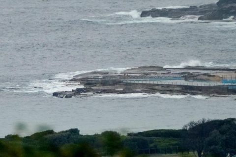
Very small at Dee Why
Hello Friends, Dee Why’s looking pretty small this morning. Couldn’t see anyone in the water along the beach and only a couple of folks messing about at the point on rescue boards. Swell is out of the east at about a metre but with a period of only 7 seconds. That being the case, as […]
You could get wet
Hello Friends, Sunny start to Monday with light offshore breezes at 0700 and about a metre of 7-sec east wind swell delivering waist to chest high wave faces at Dee Why. The Bureau says that it’ll turn onshore by the middle of the day. Tide is high at 0800 and back to low at 1350. […]
Not much of interest to start
Hello Friends, Saturday kicked off with a weak little east wind swell of about a metre at around 7-8 seconds apart. At Dee Why it was manifesting as knee to waist plusses along the beach. The point was back asleep again after its brief wakefulness on Wednesday arvo. Wind was light from the SSW to […]
You needed to be pretty keen
Hello Friends, Had to be up early for the 702 ABC surf report this am, so figured I’d make the call from the beach. Sadly, it was messy and junky and gutless dribble in the knee to waist range from Dee Why to Longy. Paddling exercise only i’d say. Still, I’m here, so might as […]
Tiny town
Hello Friends, The puniness continues this morning. Swell is showing out of the east at about a metre at sea, but with a choppy 7 second period. If you were up early to beat the wind, you could find the odd knee to waist high bump at most of Sydney’s beaches (well, not the south […]
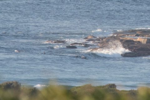
Semi-surfless
Hello Friends, Another day when it can safely be said that wherever you found a wave yesterday is likely to be where you’ll find one today. At Dee Why a metre or so of 7 second period east wind swell was dribbling in at around 0700. A solitary SUP rider to greeted it and with […]
Still very small but not quite flat
Hello Friends, Light winds this morning and a little trickle of east wind swell for the keen amongst us. According to the MHL data, the primary swell direction is east, the average height at sea is a touch over a metre and average period is a light and fluffy 7 seconds. Where Dee Why’s concerned […]