Hello Friends,
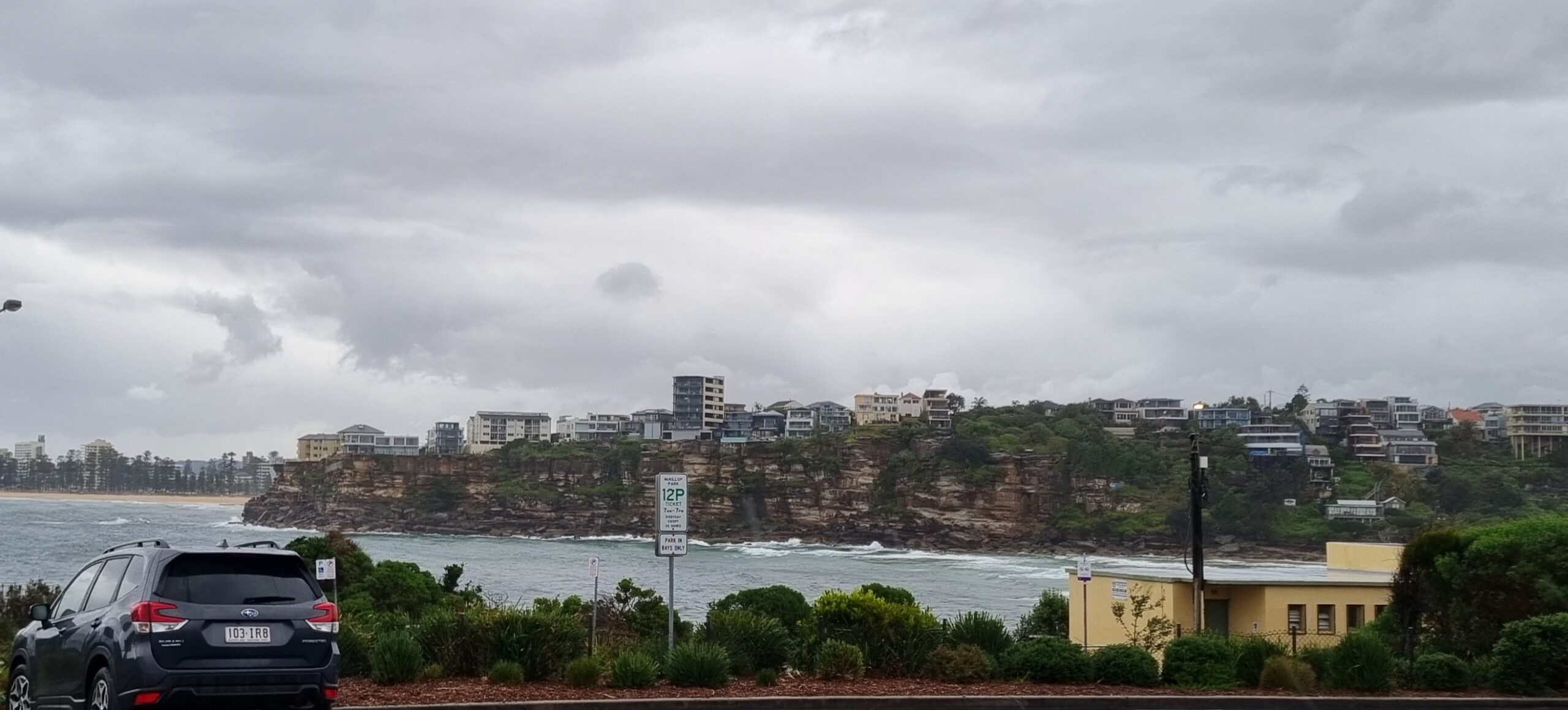
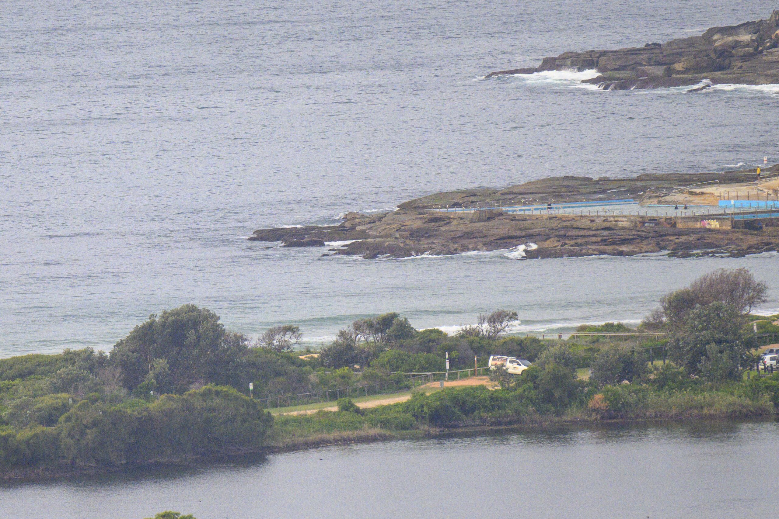
It’s very, very small looking at Dee Why and from the look of the MHL data, it’ll be much the same everywhere else in Sydney. There is a little 10+ sec component in the mix, so you just might find a every-ten-minutes peak on an exposed stretch.
Otherwise looks like a great day to catch up on your non-surf life.
With luck things should start to turn around on Saturday. The models are currently showing a stretch of 3-4 days of surf, with Sun-Mon currently looking like peak days to me. But it’ll be damn chilly (by Sydney standards my international friends!) as temps ranging from 9-16 will prevail across the same period.
Gotta jam, so will try to get back later with more thoughts. Have yourself a great day!
Synoptic Situation
A low pressure system will move over the southwestern Tasman Sea Thursday night and deepen during Friday increasing winds New South Wales coast. During Saturday the low is expected to move east and winds should gradually ease.Sydney Coastal Waters, Broken Bay to Port Hacking and 60nm seawards:
Gale Warning.
Thursday until midnight: Wind: W’ly 15/20 knots increasing to 20/30 knots in the evening.Sea: about 1.5 metres rising to 2 to 3 metres in the evening.Swell: SE/SW about 1 metre.
Friday: Wind: W/SW 25/33 knots, increasing to SW 34/45 knots during the day.Sea: about 3 metres rising to 4 to 5 metres. Swell: S/SE increasing to 3 to 4 metres later.
Saturday: Wind: SW 25/35 knots easing.


