Grey, smooth and just about flat
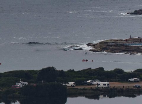
Hello Friends, Only a metre of 7-sec SE wind bump to work with this morning in Sydney. Tide was low at 0520 and at report time the wind was a barely-there westerly zephyr under hazy grey skies. Another morning for getting some exercise on the SUP or going for a swim etc because you’re unlikely […]
Marginal but a little something
Hello Friends, Definitely a bit of surf activity this morning. While the point isn’t doing anything there are knee to waist high things as you go up the beach. The WRL cam at Flight Deck was showing a distinctly east component in the mix. According to the MHL data here’s 1.6m of t-sec east dominating […]
Yay! Little beachies this morning
Hello Friends, Beautiful, breezily offshore start to Sunday at Dee Why – and there were fun looking little knee to waist high sets when I checked at 0830 on the dropping tide (low’s at 1040). Quite a few folk in the water along the bit of the beach I can see from the crows nest. […]
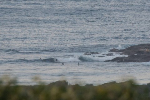
Knee high at Dee Why
Hello Friends, About a metre of 7.5 sec east swell as this morning got started. Wind was light from the WNW under partly cloudy skies. There were a few people in the water at the point and along the beach, but wave faces were struggling to make the knee high mark. If you can’t get […]
Little bumps for the keen on Wednesday
Hello Friends, A few little knee to waist high bumps at the point this morning thanks to about 1.5 metres of 9-sec SSE swell. Wind was light and offshore for the early and tide was low at 0730 and will be back to high at 1335. Weather was partly cloudy early. Outlook is for the […]
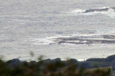
Messy and small under grey skies
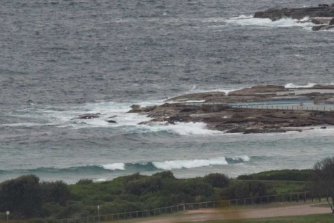
Hello Friends, Steady ESE wind as of 0700 and it’s not making a pretty picture where Dee Why’s concerned. A couple of hours earlier, the MHL Sydney buoy was registering 2 metres of 9-sec S-SSE wind swell. So it’s not totally flat, but that onshore is making a mess of it. Tomorrow and Saturday look […]
Monday minor conditions for Dee Why
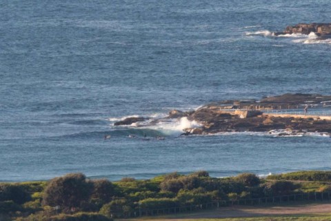
Hello Friends, Sunny and clear blue skies, but the wave situation has gone downhill since yesterday. We’re looking at 1.4 metres of 9-sec SSE energy out at sea, but Dee Why wasn’t picking up much of anything. There was a group of hopefuls bobbing just off the rocks at the point when I grabbed the […]
Sunny Saturday but

Hello Friends, Energy levels are around the same as this time yesterday, ie swell was out of the east at 7 seconds with an average height of a metre as of 0100. Wind was faint and offshore at daybreak but is set to pick up from the NW and to be into the 15-20 kt […]
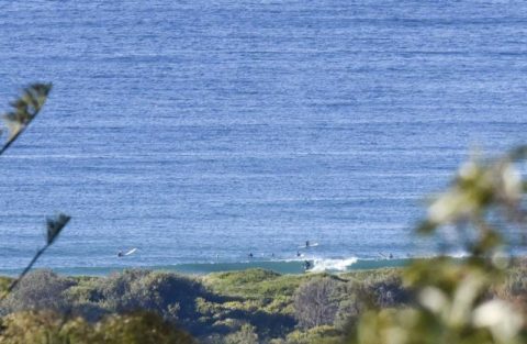
Monday starts quiet
Hello Friends, The day started glassy and knee to waist high at Dee Why. At 0600 the MHL buoy was showing 1.7 metres of 8-sec SSE wind swell. Tide’s low at 0930 and we should have 10-15 kts of southerly soon. We should also see a fresh south pulse begin to fill in over the […]
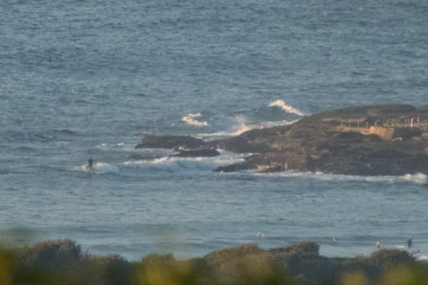
As you were
Hello Friends, Barely half a metre of SSE swell at 12 seconds apart as of 0800 this morning in Sydney. And that means only the barest hint of swell for Dee Why. Nothing happening at the point obviously, but up the beach it looked as though there would be the odd waist high bomb set. […]