
Hello Friends,
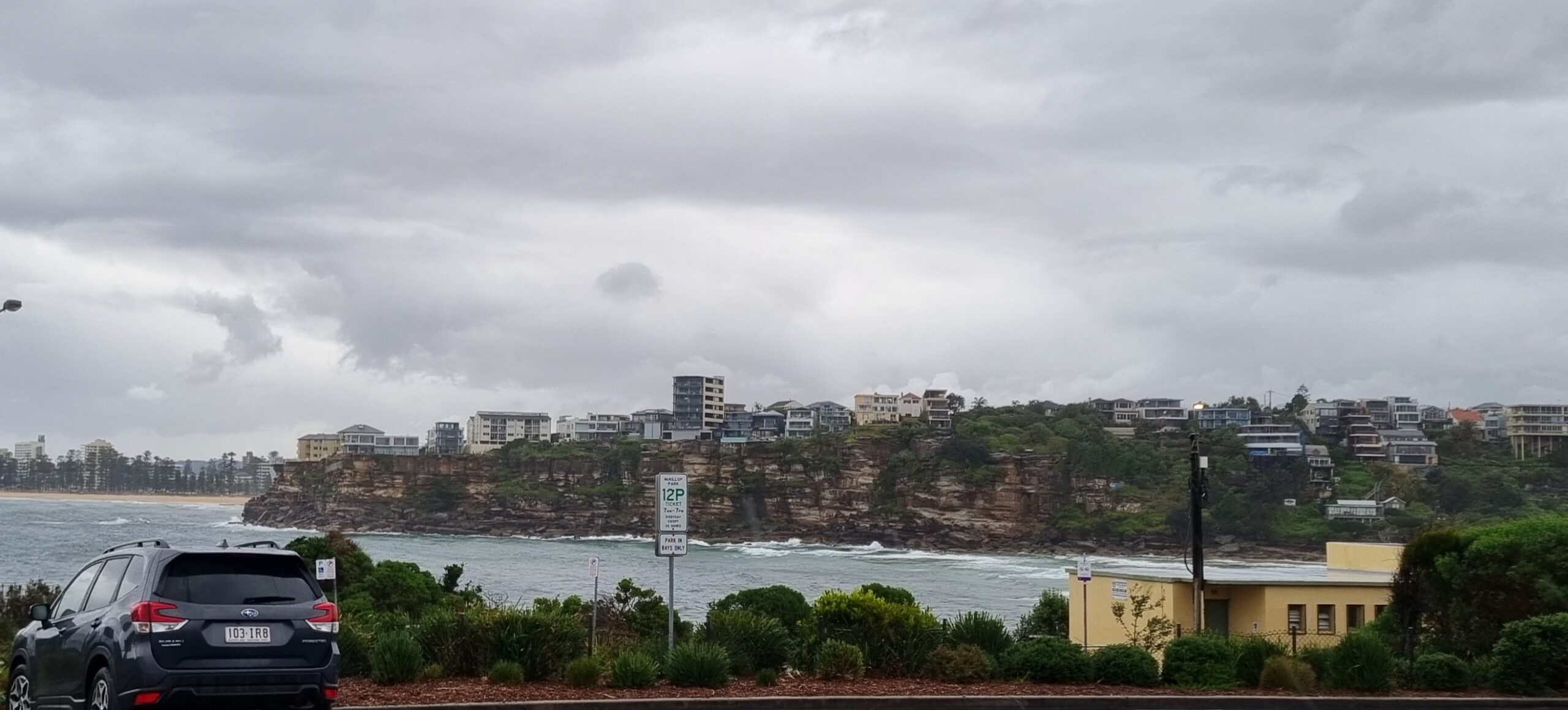
Looks as though we’re in for a cloudy day with small waves, side to offshores early, swinging onshore later from the NE.
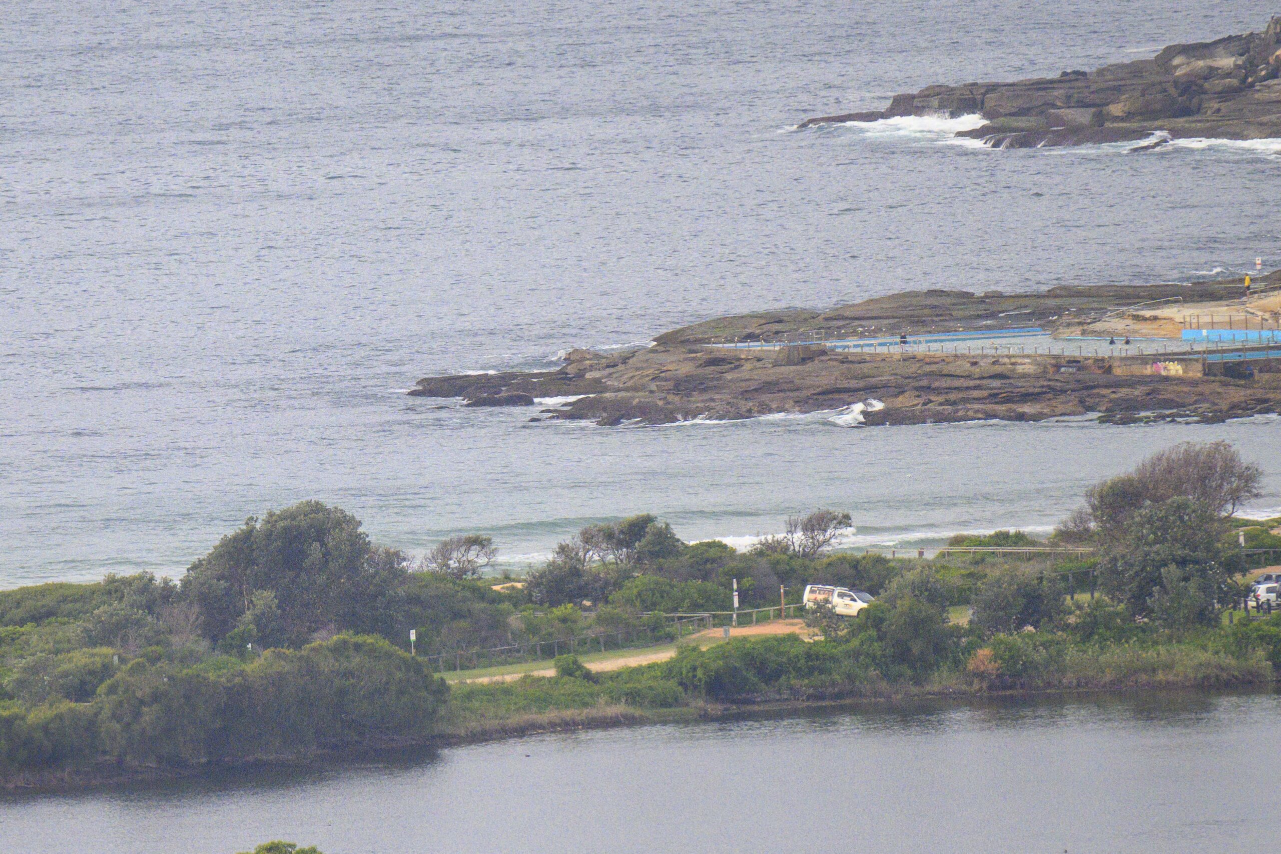
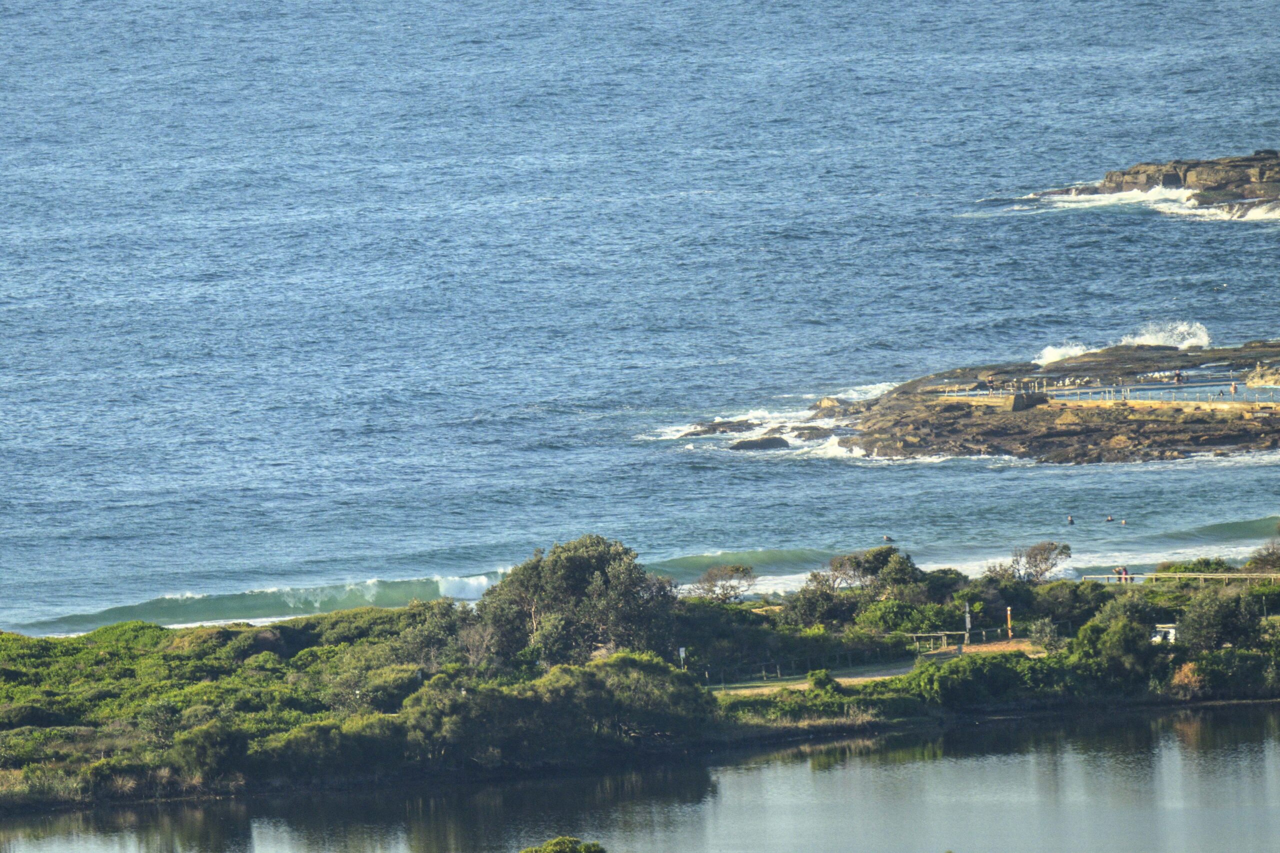
Dee Why’s showing a little line again today, but given the swell direction, it’s not likely to be the biggest option around. There were knee to waist high sets turning up when I checked it and took the pictures at around 0730. Understandably there weren’t too many folk in the water.
There were some photogenic waves around yesterday. I spent some time shooting down at south Narra and will have a slideshow for you to check out later. Naturally everything I shot will also be posted to my personal site later.
Tides: H: 0935, L: 1538
Forecast for Monday
Cloudy with rain periods and the chance of an afternoon or evening
thunderstorm. Light to moderate northwest to northeast winds, turning west to southwesterly during the evening.Synoptic Situation
A Low over Bass Strait is moving east with a front extending northwards. A high pressure ridge will move into the state late Tuesday with generally light winds expected through until the later part of the week over most waters.Sydney Coastal Waters, Broken Bay to Port Hacking and 60nm seawards:
Monday until midnight: Wind: N/NW 13/18 knots, turning N/NE in the afternoon, ahead of a late W/SW change 15/20 knots.Sea: 1 to 1.5 metres rising to 1.5 to 2 metres late evening. Swell: E/NE 1.5 to 2 metres. Isolated thunderstorms.
Tuesday: Wind: W/SW 20/25 knots during the morning, becoming variable 8/13 knots during the afternoon.Sea: 2 to 2.5 metres abating to about 1 metre. Swell: NE 1 to 2 metres.
Wednesday: Wind: W 10/20 knots, becoming variable 5/15 knots during the afternoon.


