Hello Friends,
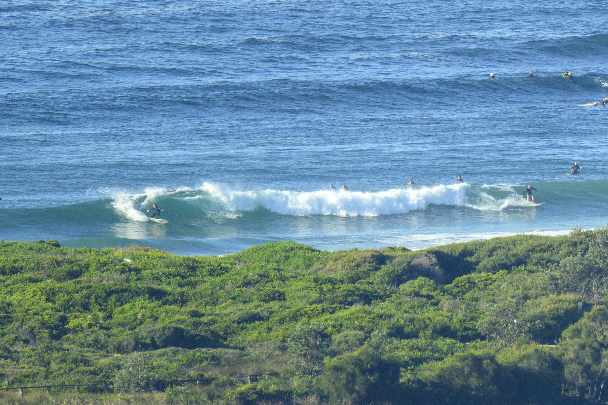
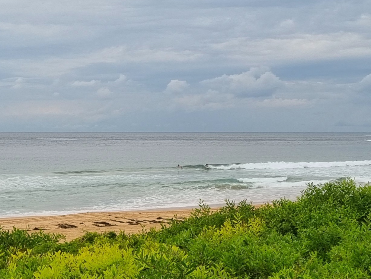
We’ve got another morning of micro-ness to deal with. At daybreak there were still a few sunny breaks, but the surf situation is, if anything worse than yesterday at this time. Dee Why was not much more than knee high looking on the sets. There was a small crew out trying to extract something from the dribble, but not succeeding at least whilst I watched.
Swell is only a metre from the ENE and it’s a gutless 6 seconds apart. Very low energy. The early high tide wasn’t contributing in any positive way either.
Outlook is for the skies to cloud up and the SE’r to build. So it doesn’t look as though we’re in for much improvement.
That said, I notice that the Eden buoy is showing close to two metres at 13 seconds. The period jumped quite suddenly at around 0600, so it could just be some knucklehead tying a boat to the buoy, but if it isn’t… then maybe we’re going to get the little SE pulse foreshadowed in the models a few days ago.
Transit times for that period are such that we might possibly see something of it up this way toward the end of the day. Anyway we’ll have a better idea of the prospects if that spike turns up at Batemans Bay around lunchtime.
Tomorrow morning’s set to be SE, so even if we do get some swell, that and the high tide, won’t be contributing in a positive fashion.
The good news is that the models are showing a generally S to SE swell pattern early next week. Quality’s a question mark, but it’s good to see at least a hope of some energy…
Big winter swell hitting Hawaii and expected in California atm. Lucky pups.
Go well with your day!


Tides: H @0753, L @1341
Sydney Coastal Waters, Broken Bay to Port Hacking and 60nm seawards:
Wednesday until midnight: Wind: S/SE 20/25 knots.Sea: 2 to 2.5 metres. Swell: NE 1 to 1.5 metres. Isolated thunderstorms.
Thursday: Wind: SE 15/20 knots. Sea: 1 to 2 metres. Swell: SE 1 to 1.5 metres.
Friday: Wind: SE/NE 10/20 knots.


