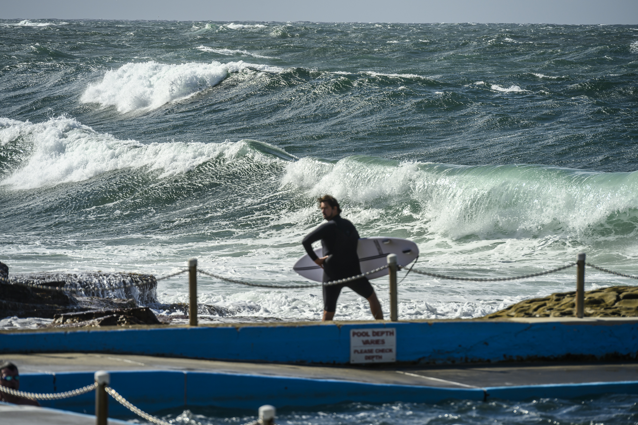
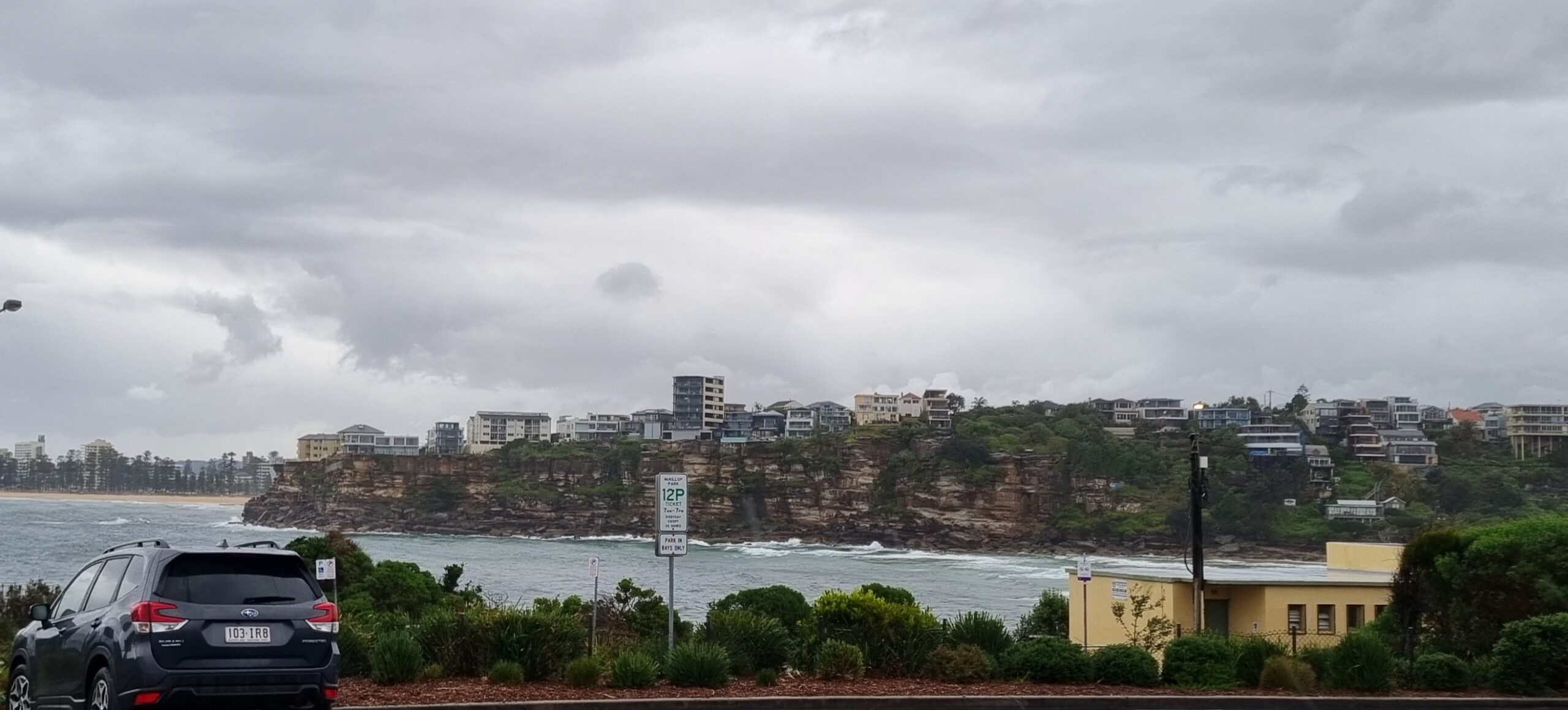
 Good news for those who can get out for a wave today. The small swell we had around yesterday is still here this morning. From the look of things it should stick around all day as it declines gradually toward near flatness toward the middle of the week.
It was averaging a couple metres from SSE out at sea this morning. The period is bouncing around the 8-9 second mark, so that should mean the occasional bomb set into the head high range at spots that really like the swell direction. Mostly though, figure waist to chest at said receptive places and your expectations should align reasonably well with reality.
Wind is set be out of the western quarters across the day and it should be beautiful and sunny, if not very warm.
The latest run of the swell forecast models shows a possible uptick toward Sunday. But from around Wednesday afternoon through to Saturday morning, the outlook is good for devoting time to your non-surfing activities.
I managed to get in a brief shooting session at Curly yesterday morning, so expect a fresh gallery up today…
Have yourself a good one!
TIDES: H @0930, L @1500
Sydney Coastal Waters, Broken Bay to Port Hacking and 60nm seawards:
Monday until midnight: Wind: Southwesterly 15 to 20 knots early, tending west to southwesterly up to 15 knots during the morning then tending west to northwesterly up to 10 knots during the afternoon and 10 to 15 knots later in the evening.Sea: Up to 1.5 metres.Swell: Southeasterly about 2 metres.
Tuesday: Wind: West to northwesterly 10 to 15 knots.Sea: Below 1 metre.Swell: Southeasterly 1.5 metres.
Wednesday: Wind: Westerly 15 to 20 knots increasing to 20 to 25 knots during the evening.


