Sunny with little waves
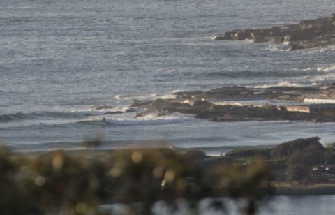
Hello Friends, Another beautiful morning in Sydney with clean little waves for the keen. Sets at the point looked to be around the waist to maybe occasionally chest high mark and it seemed to be about the same at Kiddies and up the beach on the biggest ones. Wind was light offshore and swell at […]
Why look at that, little waves
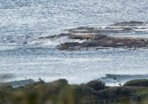
Hello Friends, Turns out I was wrong about what would happen this morning. I thought it’d be ankle to knee, but as the pics show, kiddies at Dee Why was producing waist and a bit bumps courtesy of 1.3 metres of 9-second SSE swell. It’s not refracting much (see the WRL south Narra shot), but […]
Brisk, breezy, sunny and small but not flat
Hello Friends, Sparkling morning with an icy SW turning making a wine dark sea. One of those mornings where every detail seems to pop. Not a lot of surf activity at the Dee Why end of the beach, but there appeared to be possibilities as you went north toward the pole. As of 0710, wind […]
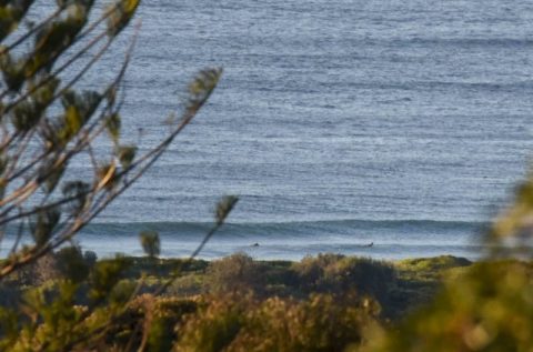
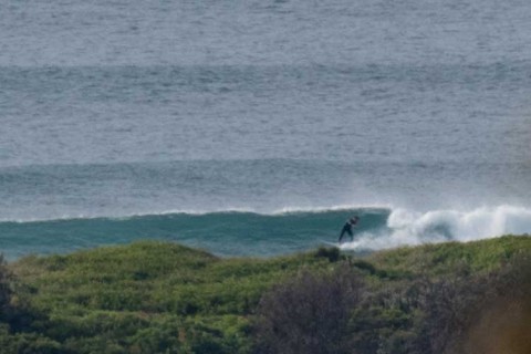
Saturday tiny style
Hello Friends At 0500 the MHL buoy was showing a metre of E swell with a period of 11 seconds. So we have about the same energy levels as yesterday at the same time, but the swell’s not coming from the SE. Wind at report time was light and west; it’s set to go north […]
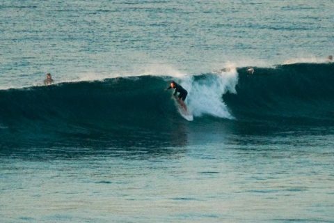
Still a few sets left in the mix this morning
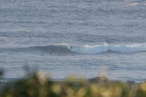
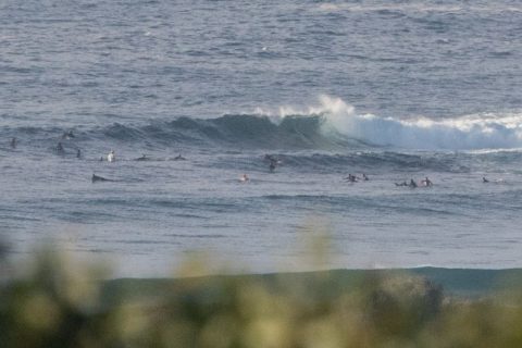
Hello Friends, Swell’s definitely down from yesterday’s peak intensity, but it’s still producing the occasional shoulder plus set at the point and along the beach. Swell’s coming mainly from the SSE at about 2.5 metres with an average period just a touch under the 10 second mark. Like yesterday, the point was well populated at […]
Swell but get on it asap
Hello Friends, Wind was WSW early but it should be going around to the SE soon. That meant clean conditions along the beach and at the point. Plus, there was a combo east and SE swell going on. Waves were in the waist to chest range with the odd bomb at the point and chest […]
Waves for the early
Hello Friends, Definitely a few waist to chest plusses around this morning at 0700 thanks to light winds and 1.5 metres of 9-second east wind swell. Lots of folks in the water from first light of course, so whether it was North Narrabeen or Long Reef or No Man’s, you’d have been sharing with 20 […]
Sunny Saturday with little waves

Hello Friends, A very warm day coming up. Wind was light offshore at first light and tide was coming off the 0415 high as it drops to the 1105 low. The MHL buoy was showing 1.5 metres of 13-second south swell at 0400. While that means the average height at sea is down quite a […]
Yay! A little more activity this morning
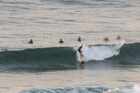
Hello Friends, The NE wind will be along soon – it’ll be 15-20 kts later – but at 0700 conditions were still smooth and, better than that, there were catchable waves both in the corner and at the point. Set wave faces were into the chest plus range, although mostly it was closer to waist. […]
Sunny Sunday with little south lines
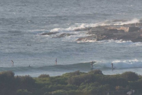
Hello Friends, Warm early thanks to the NW’ly. Yesterday’s south energy has faded overnight, but it’s not all gone. There are still some waist plus ones to be caught from Dee Why to Longy. While it looked a bit wimpy at the point (and only knee high), sets along the beach had a touch of […]