Hello Friends,
Election eve and it’s micro. Worse, the models continue to call for minor to flat conditions for the next week – at least.
Has spring sprung on us a little early?
There are still big low pressure systems in the southern ocean but they’re being resolutely bounced away from us by the persistent high pressure systems that dominate our weather this time of year.
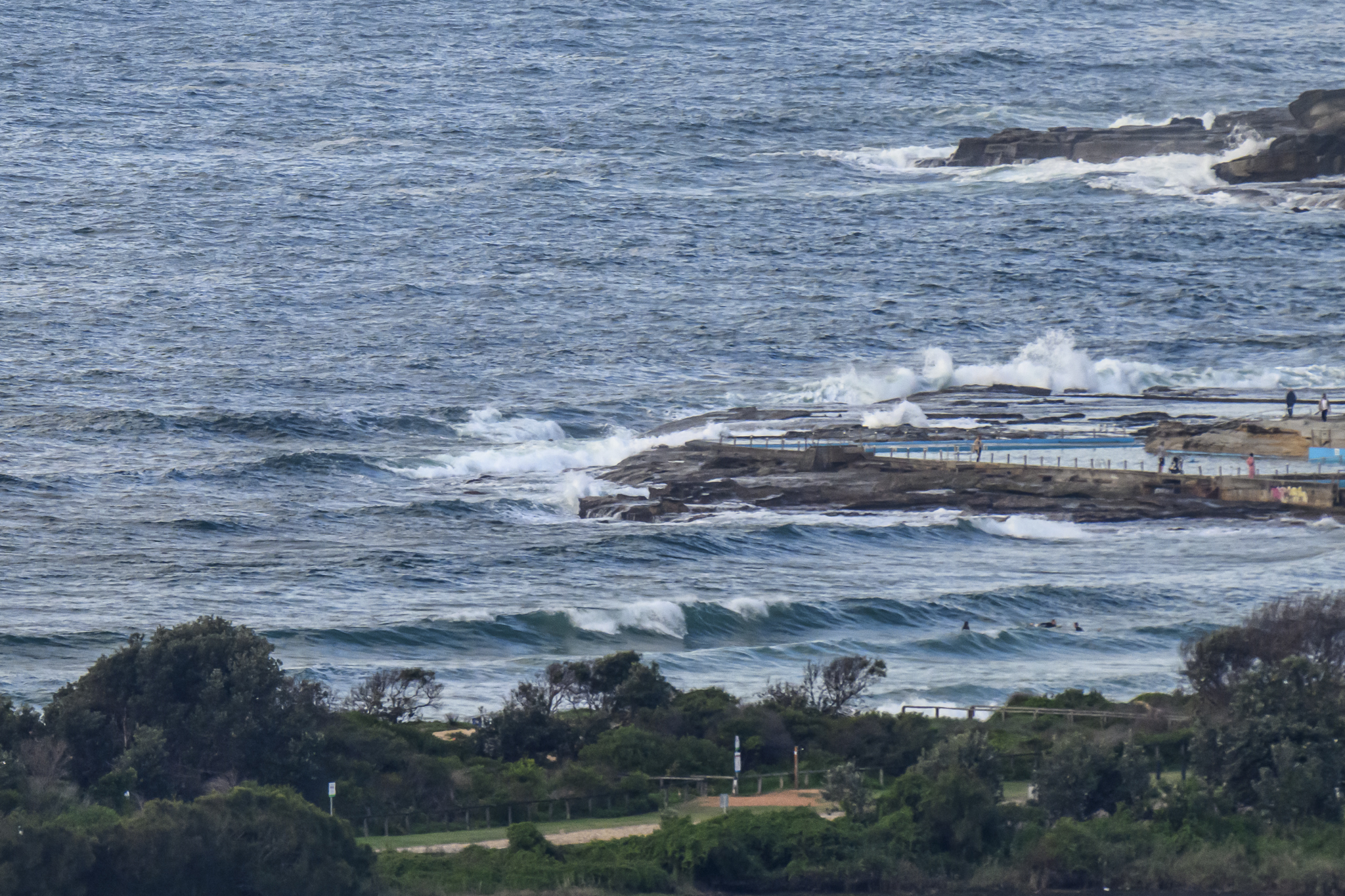
The latest data from the MHL buoy off Sydney is showing about a metre of 6 second period south windswell. If you can find some way to extract a wave or two from such a paltry offering, my hat’s off to you!
An inspection of the WAMs shows there is a slight chance of a just barely surfable south bump around lunchtime on Sunday. But right now, that’s pretty much it for the Sydney region (and the rest of the east coast) as far as I can tell.
Have yourself a top old Friday and get up to some good where you can!
Sydney Coastal Waters, Broken Bay to Port Hacking and 60nm seawards:
Strong Wind Warning.
Friday until midnight: Wind: Westerly 20 to 30 knots decreasing to 15 to 25 knots around midday then increasing to 20 to 30 knots later in the evening.Sea: Up to 3 metres decreasing to 2 metres during the morning.Swell: Easterly 0.5 metres tending southeasterly from midday.
Saturday: Wind: Westerly 20 to 25 knots.Sea: 1.5 to 2 metres.Swell: Southerly 0.5 metres.
Sunday: Wind: Westerly 15 to 20 knots decreasing to 10 to 15 knots during the morning then tending northeast to northwesterly up to 10 knots during the afternoon.