Hello Friends,
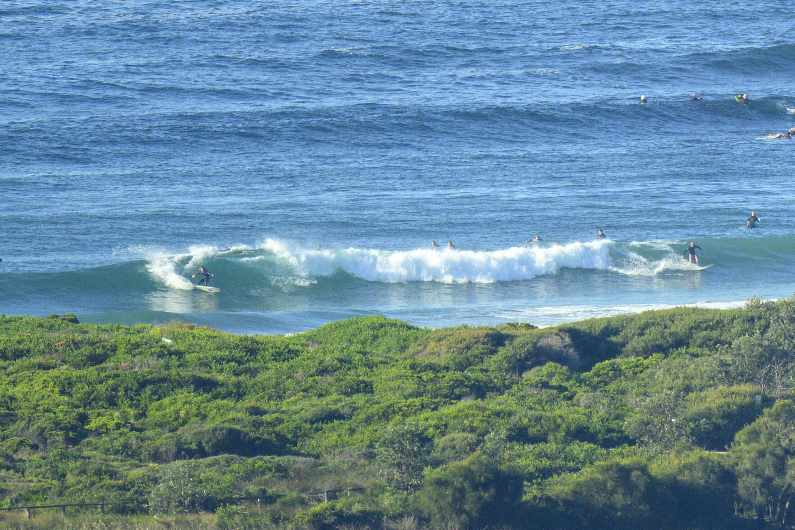
MHL buoy for Sydney is off the air, but looking at the other data, I’d be guessing it’s around a couple metres from the east at about 9 seconds. Combine that with the WSW winds showing on the automatic weather station data, and I’d say there’d have to be something in the way of a wave. And, from the shape of the models you’re looking at another three days of this before it starts calming down and dropping back to micro just in time for my return – gnash, gnash. Aside from the on again off again showers, it looks from this side of the planet as though there could be some fun early in the new week particularly.
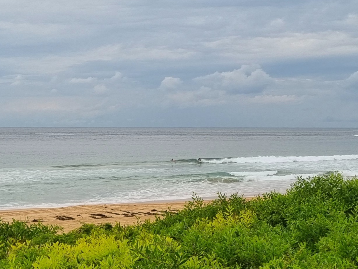
Meanwhile, I can once again report that spring ordinariness is dominating the Santa Barbara region. I took brother-in-law Bob down to Leadbetter point to catch a few cold tiny waves. Gotta say my nice new wetty was a wise investment because the only cold I experienced was my hands. And the water is a vicco 12 or so. Waves were weak, short period windswell in the ankle to knee high range. Folks on SUPs were having all the fun, but your correspondent managed to jag the set of the day (a massive waist high). Hey, at least I got wet! And that’s never a bad thing is it?
Go well one and all and get lots of waves.
Today’s postcard is a snap of Roberto himself waiting for something, anything to come his way…

Weather Situation
A deepening trough over the northern Tasman Sea and a high pressure ridge in the south combine to direct south to southeast airstream for most of New South Wales coast. As the trough further deepens and a ridge weakens, winds will strengthen along the North Coast on Sunday. Winds are expected to tend south to southwesterly throughout from Monday onwards with a weak trough from the west followed by a broad ridge building over the state by mid-week.
Forecast for Sunday until midnight
Winds: Southerly 10 to 15 knots. Seas: Below 1 metre. Swell: Easterly 2 to 3 metres. Large swells breaking dangerously close inshore.
Forecast for Monday
Winds: South to southwesterly 15 to 20 knots becoming southerly 10 to 15 knots later in the evening. Seas: 1 to 1.5 metres. Swell: Easterly 3 metres. Large swells breaking dangerously close inshore.
Forecast for Tuesday
Winds: South to southwesterly 5 to 15 knots becoming southwesterly up to 30 knots during the evening. Seas: Below 1 metre increasing to 1 to 2 metres during the evening. Swell: Easterly 2 to 3 metres. The chance of thunderstorms. Large swells breaking dangerously close inshore.


