Hello Friends,
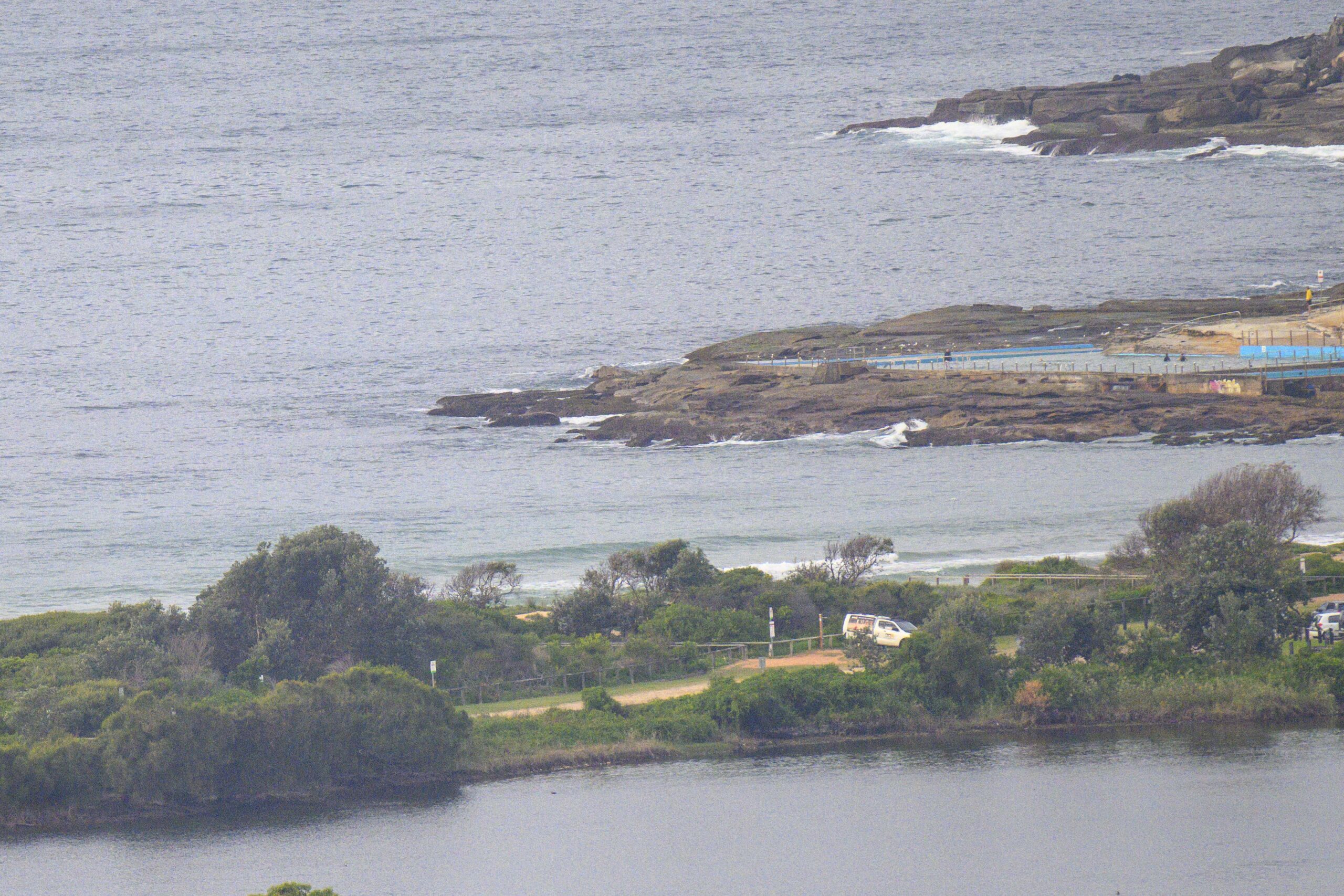
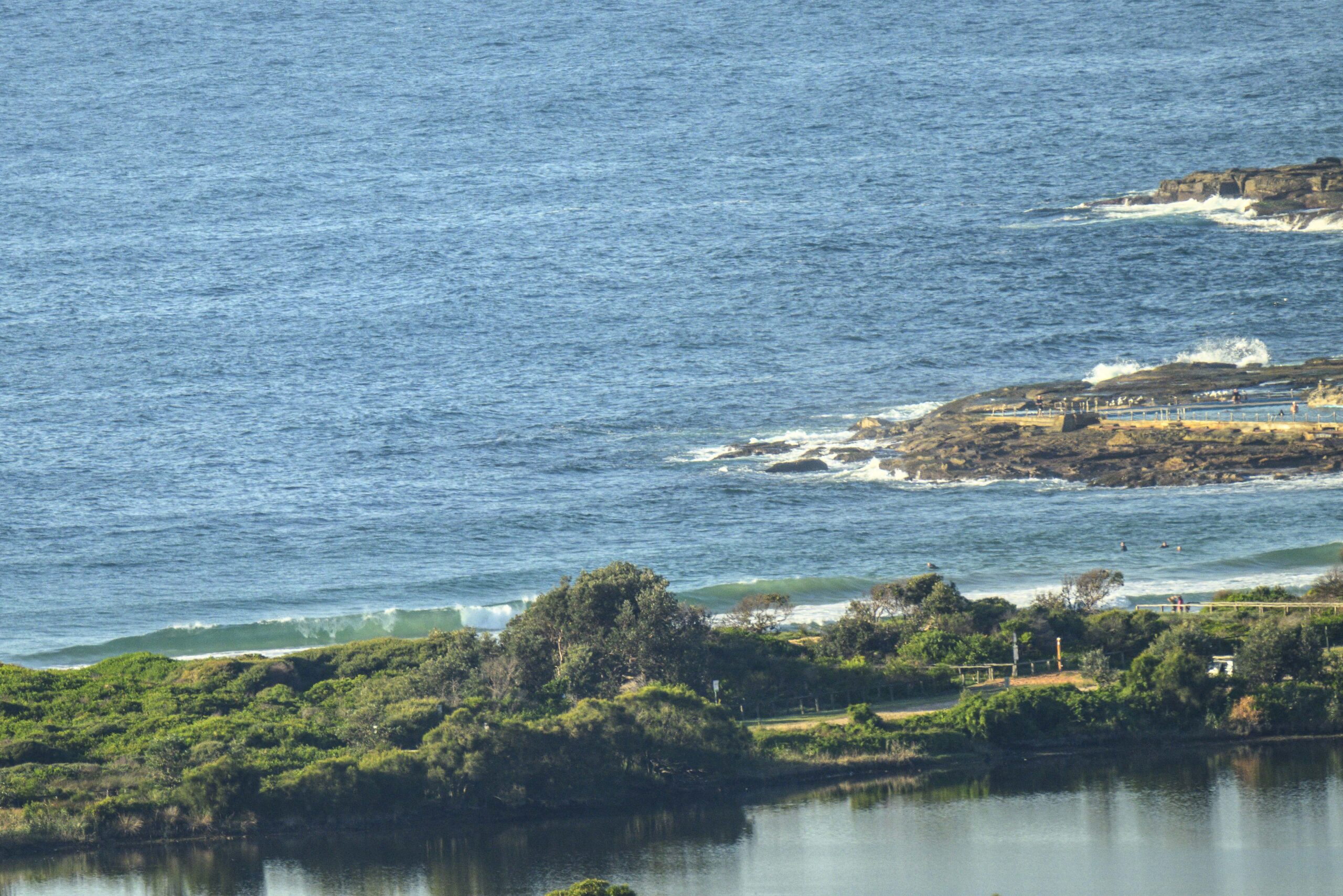
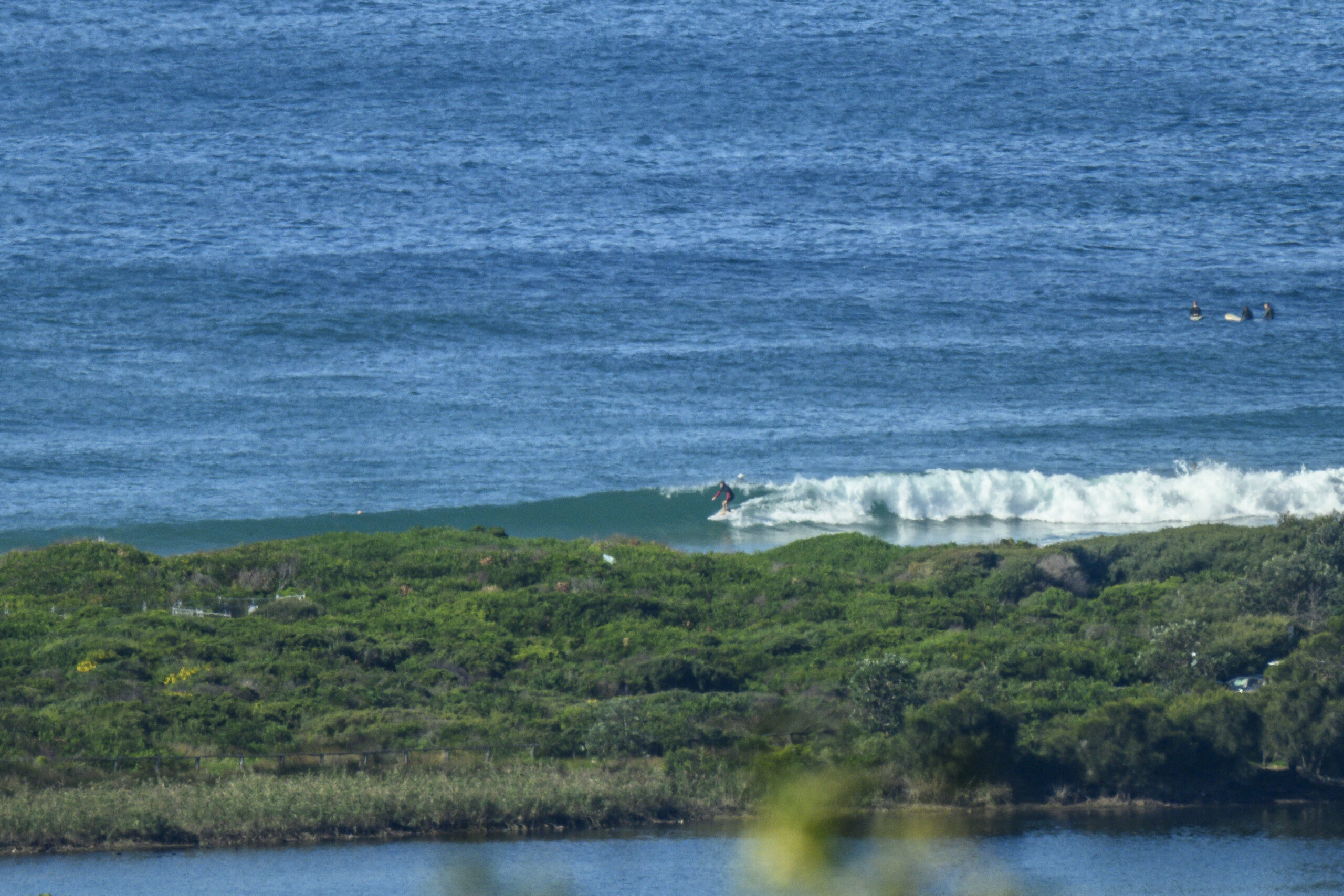
Another cold (by Sydney standards) morning with light offshores, mostly clear skies and a little SSE swell. Dee Why’s showing sets in the waist to chest high range but they seem to somewhat infrequent. Tide’s low at 0830 so the high will be mid afternoon (1445). The offshores are set to accelerate and the Bureau says they could be 30 kts in a few hours. Not sure that will do the 9sec 1.5 m SSE swell much good. They also say there’s a chance of showers later and that we’re looking at a high of just 17.
The good news is that we look like having at least a little something to surf between now and the weekend. The models are their usual variable selves, so you can kind of take your pick as to what’s most likely to happen. But if you set the expect-o-meter at around the waist to chest high mark for each of the next three days, you’ll probably not be disappointed.
I know it’s a day or two early, but I’ll be keen to see the Goat’s estimation for next week because the models are pointing toward a possibly significant swell event for Monday. Some estimates showing periods approaching a Hawaiian 18 seconds on a 3 to 4 metre south pulse. If this morning’s predictions pan out it could seriously pump next week… but then again, how many times have we seen these big calls fade to something less overwhelming on the day? ’tis the nature of the models I’m afraid, they almost always have a bias to the high side at long range.
Should be some good shooting conditions for yours truly!
Speaking of which, if you were in the water at North Steyne yesterday between about 1130 and 1245, you’ll want to check my latest gallery (
Weather Situation
A west to southwest airstream is expected to strengthen along the New South Wales coast on today triggered by an increase in frontal activity from the south. Winds will gradually ease later on Thursday and on Friday as frontal activity weakens and contracts to the far south. Saturday may see south-westerlies strengthening again between a deep trough in the Tasman Sea and a high ridging from the west.Forecast for Wednesday until midnight
Winds: Westerly 15 to 20 knots increasing to up to 30 knots during the morning. Seas: 1 to 1.5 metres increasing to 1.5 to 2 metres during the morning then increasing to 2 to 3 metres around midday. Swell: Easterly about 1.5 metres. The chance of thunderstorms offshore during the evening.Forecast for Thursday
Winds: West to southwesterly 25 to 30 knots decreasing to 20 to 25 knots during the morning. Seas: Up to 3 metres decreasing to 2 metres during the afternoon. Swell: Southeasterly about 1.5 metres. The chance of thunderstorms.Forecast for Friday
Winds: West to southwesterly 15 to 20 knots increasing to 20 to 25 knots during the evening. Seas: 1 to 1.5 metres increasing to 1.5 to 2 metres during the evening. Swell: Southerly 1.5 metres.


