Hello Friends,
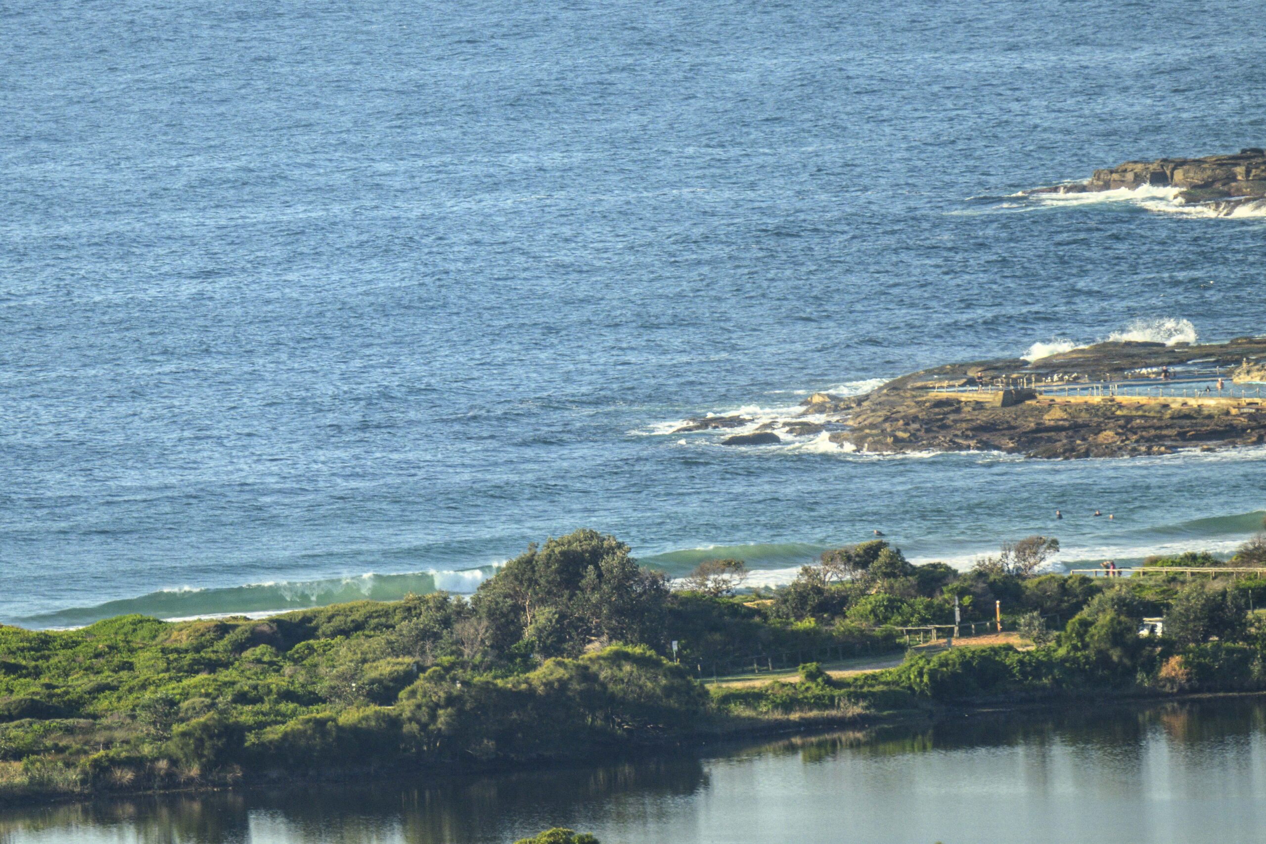
What a difference a day makes!
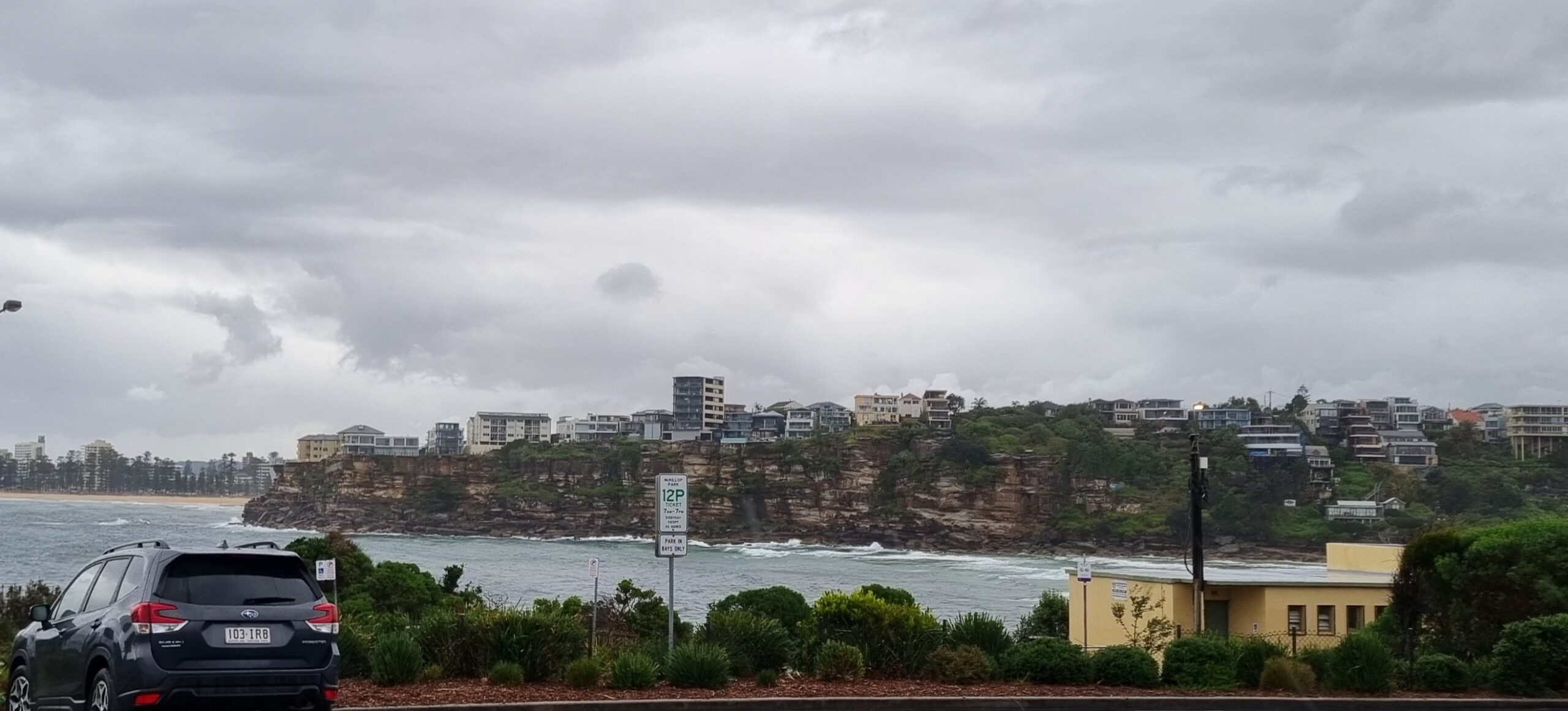
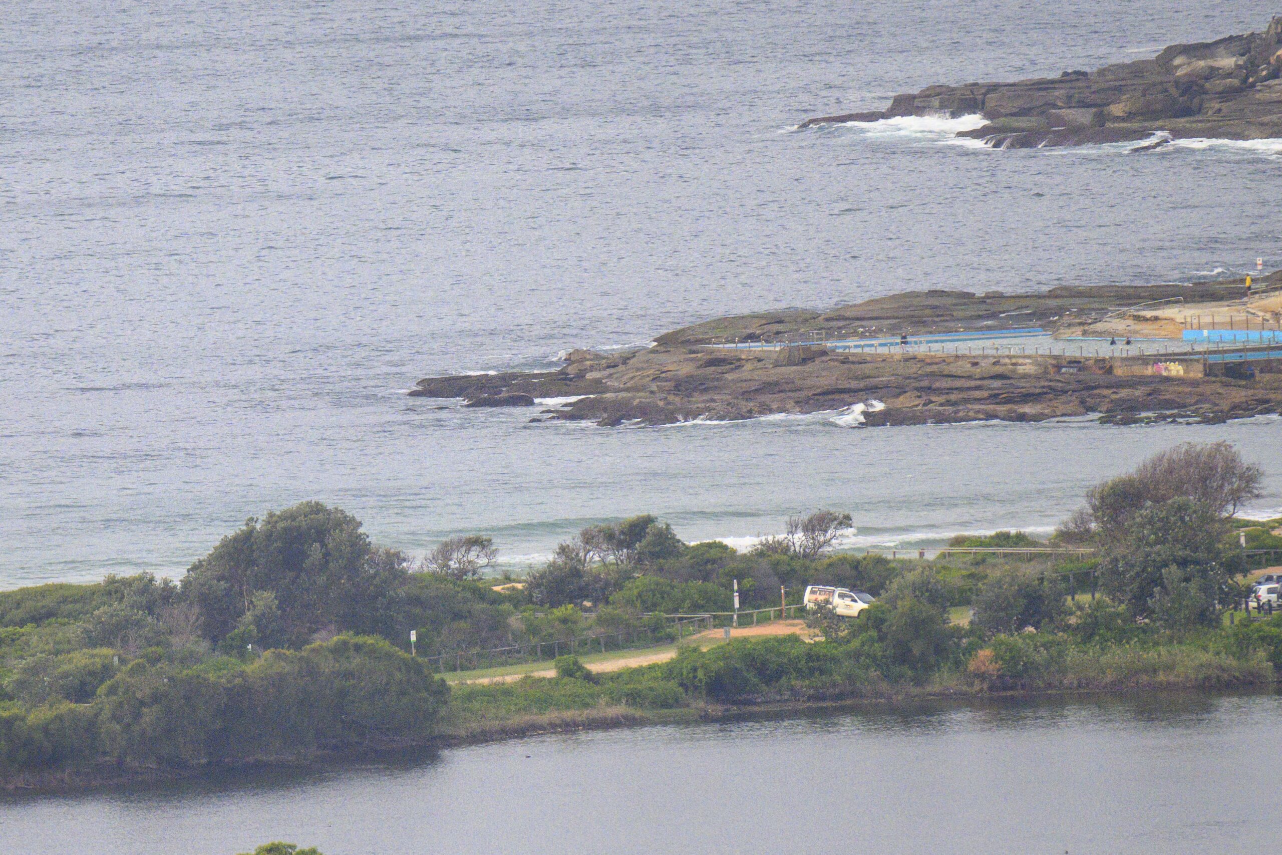
Swell is SE at around 3 metres on average with a kicking 11-12 sec period. At Dee Why that is producing 2x overhead sets and even a few bigger ones on the bombs. Wind was out of the west only lightly as the day got started under brilliant blue skies. Looks like a classic winter day coming up. Wind is expected to swing SW soon and to get into the 20-30 kt range, so there are a few spots that will go off the available list soon. Plus we have a high tide at about 0920.
Get out and enjoy it if you can (unless you’re a beginner or otherwise not feeling super confident in big conditions) and wave hi if you see me out shooting.
I’ll try to update again later.
Weather Situation
A complex low pressure system over northern Tasman Sea is moving slowly to the south-southeast maintaining fresh to strong south to southwest winds along New South Wales coast. Winds are expected to ease by Sunday as the low moves near New Zealand and a high pressure ridge strengthens across the northern Tasman Sea.
Forecast for Friday until midnight
Winds
Westerly 15 to 25 knots tending west to southwesterly 20 to 30 knots during the morning.
Seas
1 to 2 metres increasing to 3 metres offshore during the morning.
Swell
Easterly 2 to 3 metres.
Saturday 18 June
Winds
West to southwesterly 20 to 25 knots.
Seas
1.5 to 2 metres.
Swell
Southeasterly 2 metres tending southerly 1.5 metres during the evening.
Sunday 19 June
Winds
West to southwesterly 15 to 20 knots becoming westerly 10 to 15 knots during the morning.
Seas
Up to 1.5 metres.
Swell
Southerly about 1.5 metres.


