Hello Friends,
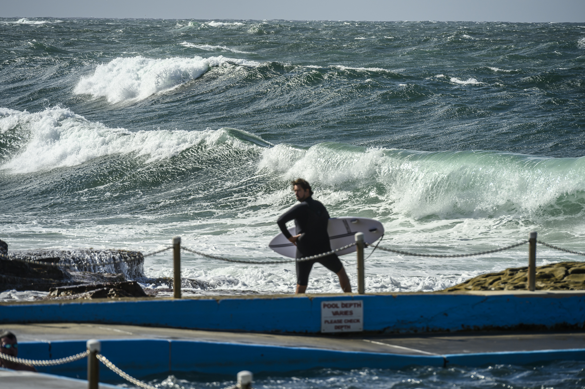
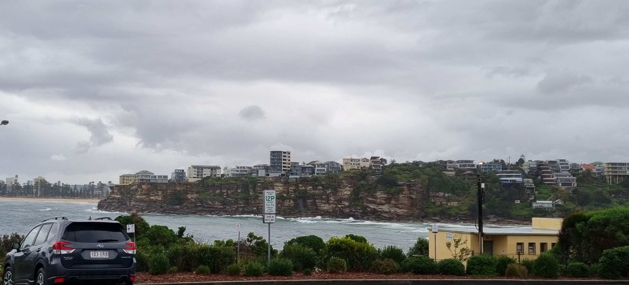
Swell is creeping up and this morning sees it coming from the SE at about 9 seconds apart. Swell at sea is around the two metre mark and there’s some 12 second stuff showing in the latest MHL data. Weather conditions weren’t too red hot though. Wind is out of the SE at around 10-15 kts and the skies are grey and periodically drizzly.
The latest forecast from the Bureau says it’s going to continue in the vein through the day and into tomorrow with gradually weakening southerly winds along the way. With luck the wave energy should stick around, maybe dropping a bit, through to Saturday when the weather’s meant to brighten up a little and the wind is set to swing to light offshores.
That’d be nice!
Have yourself a great Thursday one and all.
TIDES: H @0720, L @1300
Weather Situation
A strong and slow moving high pressure system east of Tasmania extends a ridge over southern and western NSW. The high will drift east to New Zealand by Saturday, maintaining a ridge over New South Wales throughout the weekend.
Forecast for Thursday until midnight
Winds
Southeasterly 10 to 15 knots.
Seas
Below 1 metre.
Swell
Southeasterly about 1.5 metres.
Friday 1 July
Winds
East to southeasterly 5 to 10 knots becoming southeasterly up to 15 knots during the morning then decreasing to 10 knots around midday.
Seas
Below 1 metre.
Swell
Southeasterly 1 metre.
Saturday 2 July
Winds
Southeast to southwesterly 5 to 10 knots becoming light during the afternoon then tending northerly up to 10 knots during the evening.
Seas
Below 1 metre.
Swell
Southeasterly 1 metre.


