Hello Friends,
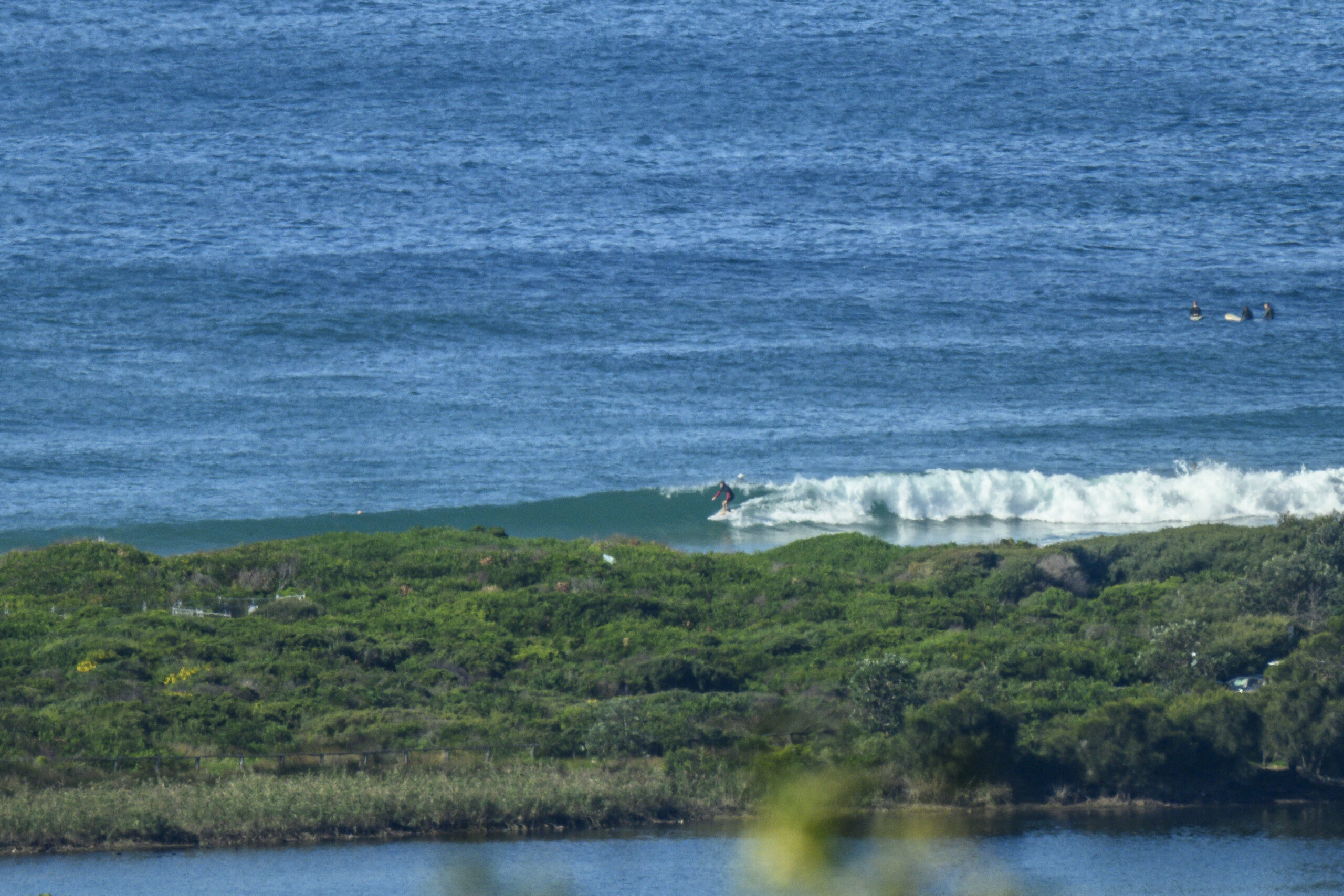
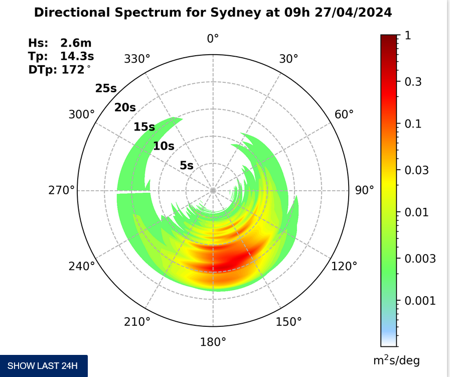
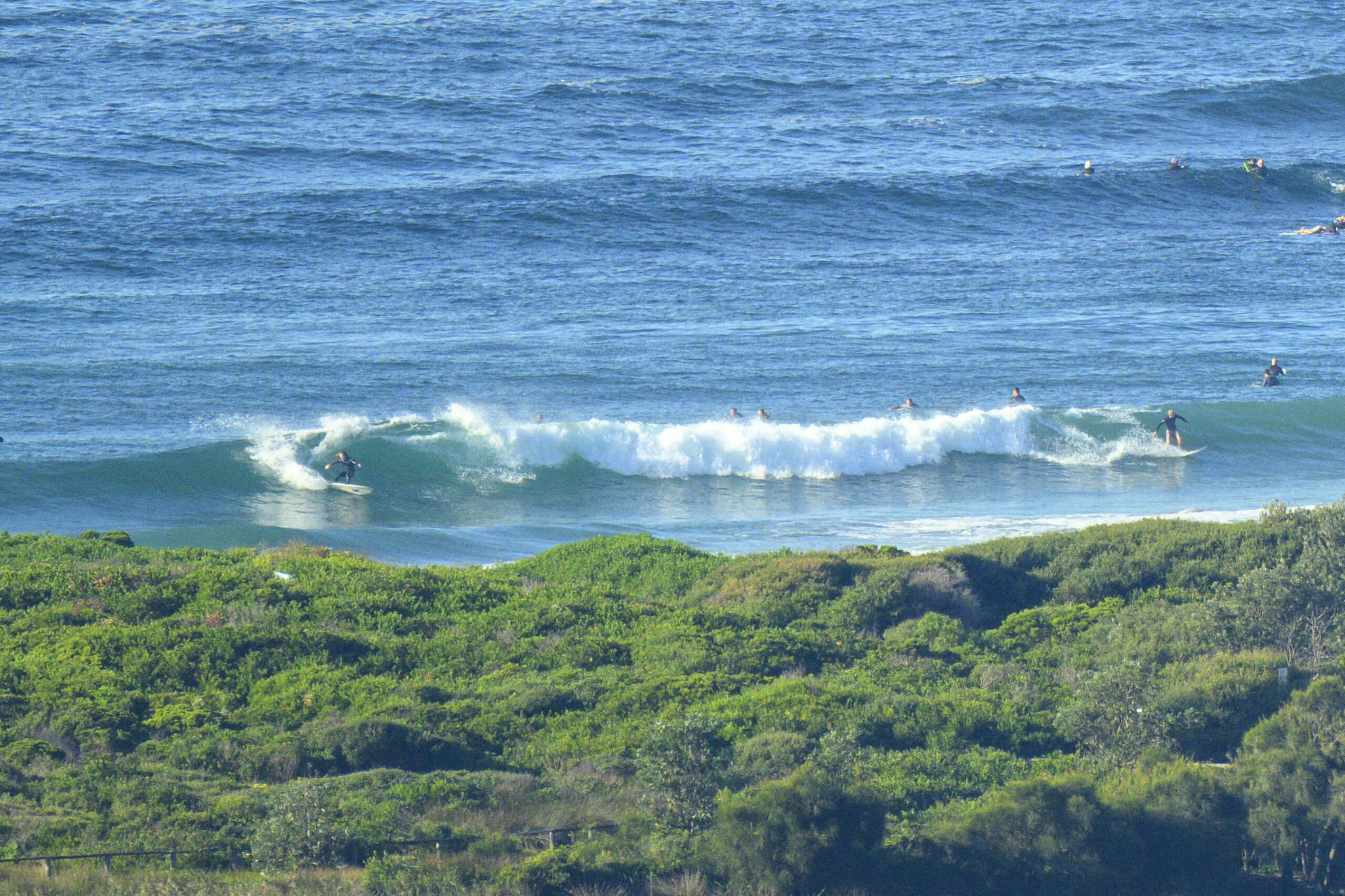
Grim old start to the day. Clammy and misty and although the MHL buoy is showing a couple metres of SSE swell with a period of 11 seconds, I couldn’t make out much in the way of interesting activity at Dee Why when I checked it for the first time around 0700. Winds were light to begin with and they’re expected to swing around to the NE later.
This morning’s run of the swell forecast models points to a steady decline in energy levels across the day. So, if they’re right, this morning is as big as it gets not only for today but right through until Tuesday (when the call is for flatness). And then a funny thing happens…
As recently as yesterday evening, the swell forecast models were calling for a small improvement in size late in the week for the Sydney region. But this morning they seem to have gone nuts – totally bonkers in fact. At about the point that I’m decamping for a family do in Adelaide, the swell is set to surge dramatically. I think this might possibly be the biggest call I’ve seen in a very long time actually. Some riffs on the data are showing it building rapidly from three metres on Wednesday to a towering 6-8 metres by Friday night. Of course the wind call is for showery weather and strong, mostly southerly winds with the big stuff.
Long experience tells us that big calls like this from the swell models typically scale back as we get closer to the event. However, the models rarely get it totally and utterly wrong, so we’re probably pretty safe to say that it won’t be tiny!
TIDES: H @0900, L @1430
Weather Situation
A high pressure system centred over eastern Bass Strait is slowly moving towards New Zealand, while maintaining a ridge along the New South Wales coast. A low pressure trough is expected to deepen over the state’s west during Sunday before moving to the coast early in the new week. As this system moves offshore a low is likely to develop over the Tasman Sea, resulting in an increasing southerly airstream along the coast by mid-week.
Forecast for Saturday until midnight
Winds
Southwest to southeasterly winds 5 to 10 knots inshore at first, otherwise east to northeasterly 10 to 15 knots.
Seas
Below 1 metre.
Swell
Southerly 1 to 2 metres.
Sunday 17 July
Winds
North to northeasterly 10 to 15 knots decreasing to 10 knots during the morning then increasing to 10 to 15 knots by early evening.
Seas
Below 1 metre.
Swell
Southerly about 1.5 metres.
Monday 18 July
Winds
North to northwesterly 5 to 10 knots.
Seas
Below 1 metre.
Swell
Southerly 1 metre tending easterly about 1 metre from the morning.
Please be aware
Wind gusts can be 40 percent stronger than the averages given here, and maximum waves may be up to twice the height.
Nearby Coastal Waters


