
Hello Friends,
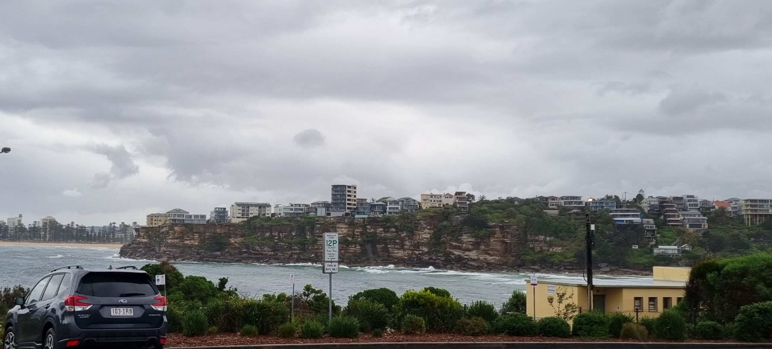
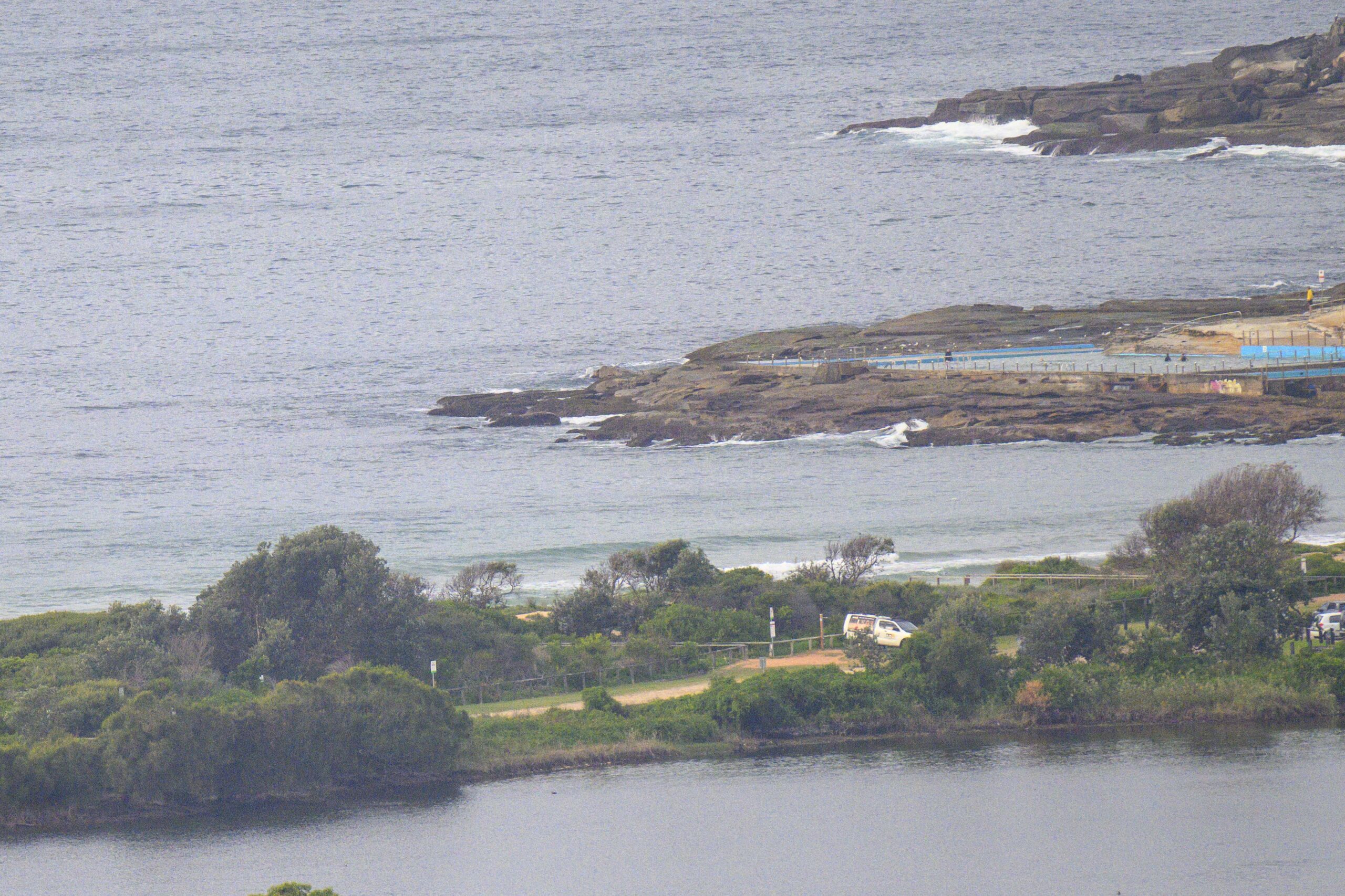
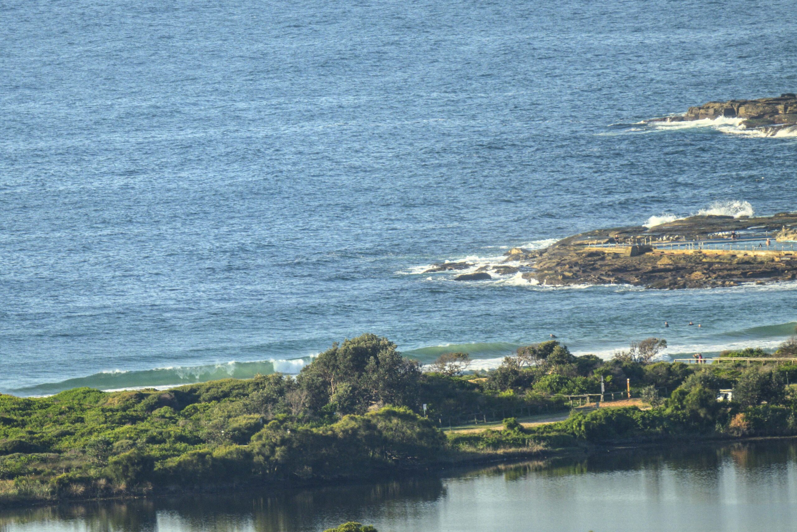
Another beautiful morning in Sydney – and we still have a few waves left in the account. Swell is a bit closer to SSE than yesterday. It’s averaging about a metre out at the MHL buoy and the average period is sitting on 9 seconds. There’s still some 11 second component in the mix, so every now and then a chest to shoulder high set arrives at Dee Why beach.
Wind is set to be out of the NW through the day but the swell trend line is distinctly downward, so my guess is that the early session will be the best of it today.
This morning’s batch of swell forecasts looks much like yesterday’s – ie it’s calling for a week (at least) of small to flat conditions for the east coast.
So get out there and enjoy and keep on smilin’!
Weather Situation
A high pressure system is centred over northwest NSW. A cold front approaches western Victoria, and is expected to cross Victoria and southeastern NSW today, moving through southern coastal waters tonight and central and possibly northern parts of the coast on Thursday before moving away. The high moves over southeast Queensland or the northern Tasman Sea and will then extend a ridge to the south, over NSW, for the remainder of the week.
Forecast for Wednesday until midnight
- Winds
- West to northwesterly 10 to 20 knots.
- Seas
- Up to 1.5 metres.
- Swell
- Southerly about 1 metre.
Thursday 15 September
- Winds
- Southerly 10 to 20 knots tending southeasterly up to 15 knots during the morning then tending north to northwesterly up to 10 knots later in the evening.
- Seas
- 1 to 1.5 metres decreasing to below 1 metre during the morning.
- Swell
- Southerly about 1 metre.
Friday 16 September
- Winds
-
West to southwesterly 10 to 20 knots tending northeast to northwesterly up to 15 knots during the afternoon.
- Seas
-
Up to 1.5 metres.
- Swell
-
Southerly 1 metre.


