
Hello Friends,
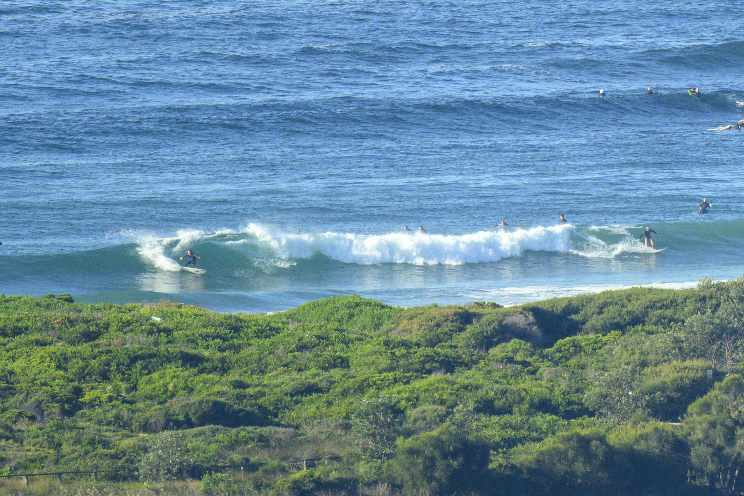
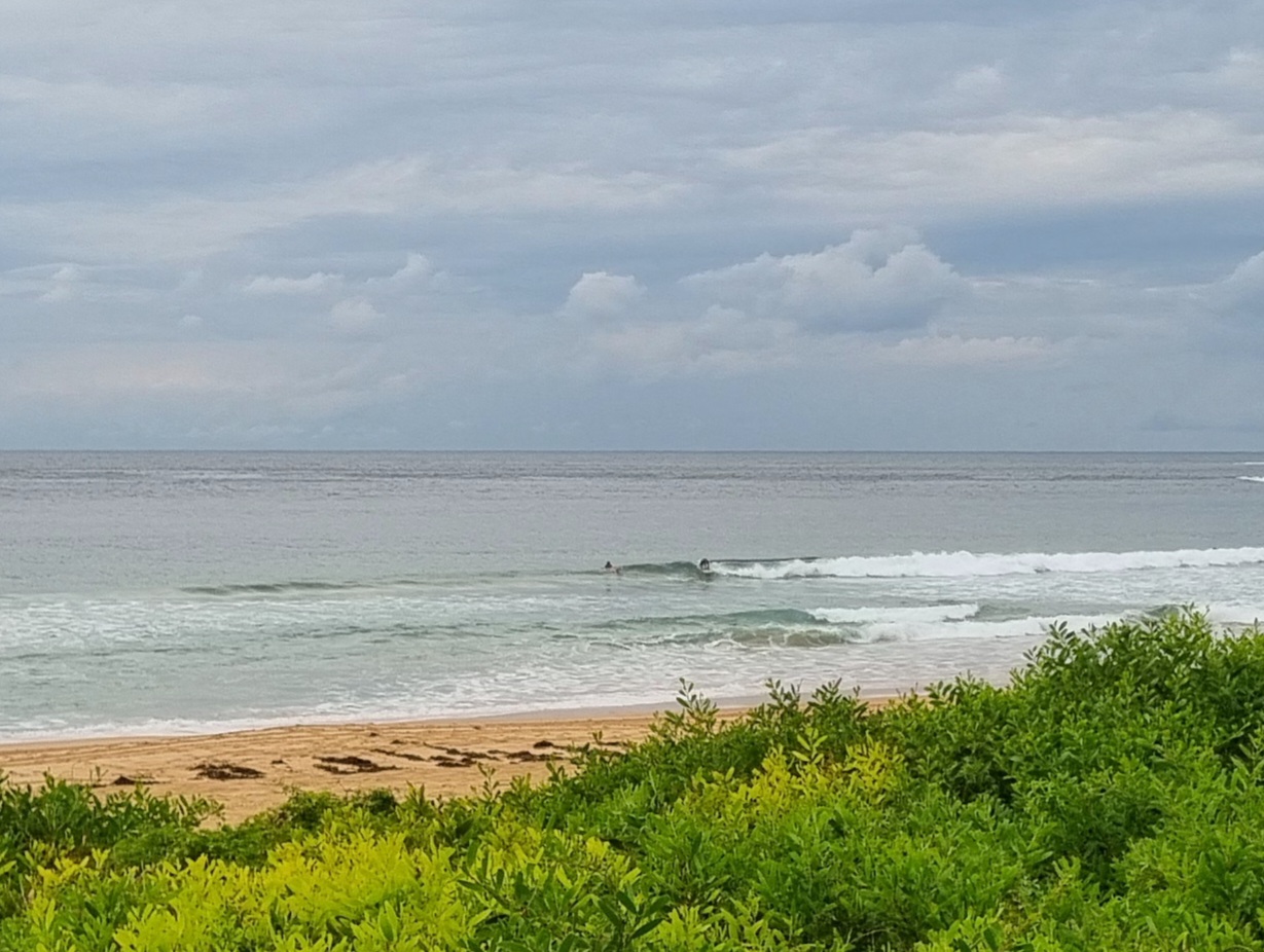
Didn’t really expect to see much showing this morning, so I was mildly surprised to see glassy and surfable conditions at Dee Why when I checked it out a little before 0800. Sets were around the waist high mark at the beach and a touch smaller for the sole occupant of the point.
Swell is coming from the ESE at about 1.5 metres with an average period of 8 seconds or so.
The outlook is for the swell to come up a touch but not dramatically so. “Dramatic” is what we have in store for late tomorrow when a massive south swell is due to hit. This morning’s modelling shows it hitting a peak of intensity on Wednesday morning. The Bureau is calling for 4-5 metres – with 30-40 kts of southerly smashing it.
The southerly will go hard all Wednesday, then it is forecast to slacken off a bit for Thursday and by Friday when the swell is set to be a more manageable 2 metres, it could even be SW…
We should have waves through to Saturday and maybe Sunday on current reckoning…
Tide was high around 0750 and will be high at 1335.
Wind is set to stay out of the west to SW through the day. We might get a shower this morning says the Bureau, but the rest of the day should be free of precipitation.
Weather Situation
A low pressure system off the southern NSW coast will move southwards to sit near the Victorian/New South Wales border during most of Monday, intensifying rapidly. Late on Monday and on Tuesday this system will track north to northeastwards and produce gale force southerly winds and large waves along the southern half of the NSW coast. On Wedneday the system will move further out into the Tasman Sea, although high winds and large waves are expected to continue through until Thursday.
Forecast for Monday until midnightWinds
Southwesterly 10 to 15 knots turning westerly 15 to 25 knots in the late morning.
Seas
1 metre increasing to 1.5 to 2 metres in the evening.
Swell
Southeasterly 1 metre.
Weather
Isolated thunderstorms this morning.Tuesday 5 June
Winds
Westerly 15 to 25 knots shifting south to southeasterly 30 to 40 knots during the afternoon.
Seas
1 to 2 metres increasing to 2 to 3 metres during the afternoon then increasing to 4 to 5 metres by early evening.
Swell
Easterly 1 to 2 metres increasing to 3 to 5 metres in the late afternoon then tending southeasterly 5 to 6 metres during the evening.Wednesday 6 June
Winds
Southerly 30 to 40 knots decreasing to 25 to 30 knots during the morning then decreasing to 20 to 25 knots during the evening.
Seas
Up to 4 metres.
Swell
Southerly 4 to 5 metres.


