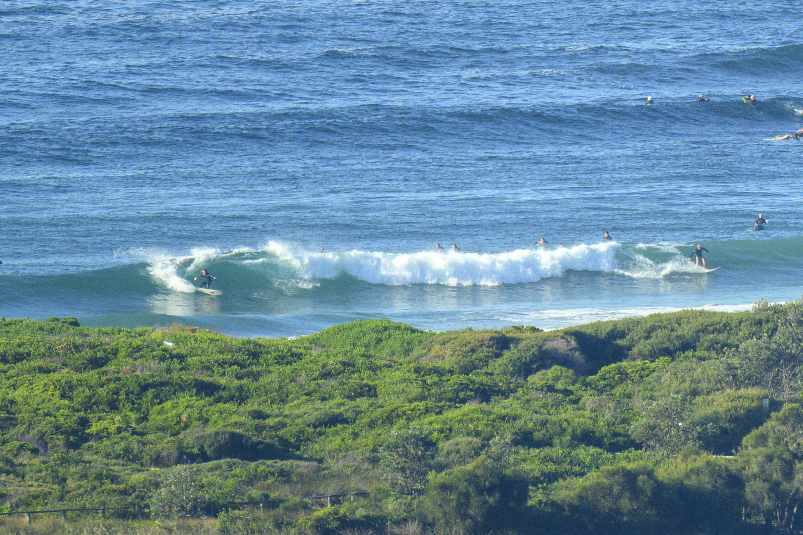
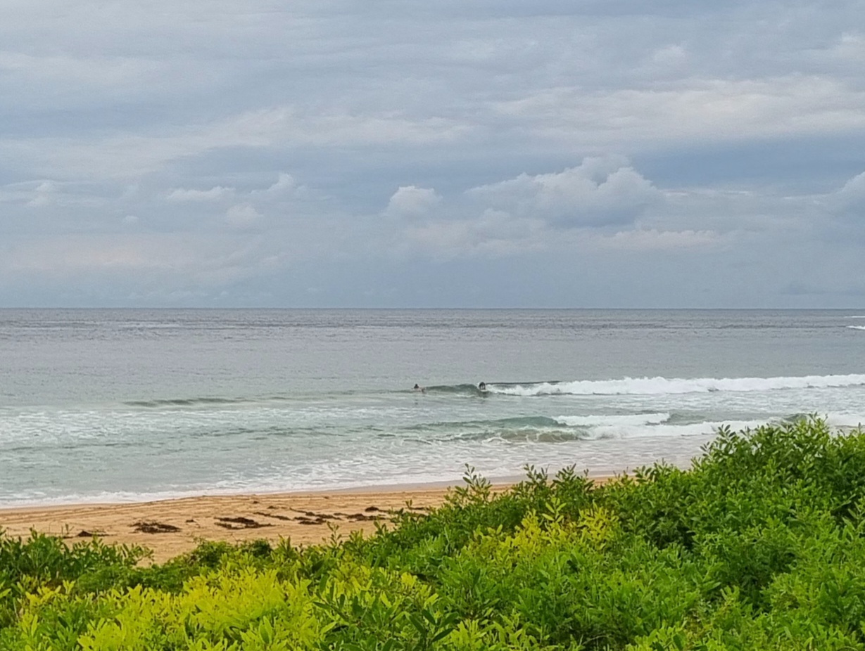
Rob of Rob’s eye on Dee Why fame and your humble correspondent went for a dip among the peaks at Dee Why this afternoon. Super clean conditions, some long lulls, but the odd head high plus set around to keep it interesting. And not all that crowded either.


Hello Friends,
High cloud and smooth surface conditions for the early session this Friday at Dee Why. There was a tight group sitting on the point and lots more scattered north from there at various peaks along the beach. The swell has dropped to two metres from the SE, but the average period is still holding at 10 seconds, so there definitely a few head high sets left in the locker.
From the shape of this morning’s forecasts, it looks as though there should be waves all day, but the average size should trend down. Happily the Bureau tells us it’ll be offshore all day.
Outlook is for another little perk early tomorrow and then it seems we’ll head into gradually smaller to flat conditions before things turn around surfwise early next week.
Get out there and have fun!
TIDES: H @0900, L @1445
Weather Situation
A low pressure system lies over the eastern Tasman Sea and a high centred over northern NSW extends a ridge to the south. The low is expected to slowly weaken over the next couple of days and move to the south. The high and ridge will remain almost stationary over the weekend as a series of weak fronts pass to the south of NSW.
Forecast for Friday until midnight
Winds
Westerly 15 to 20 knots.
Seas
Up to 1.5 metres.
Swell
Southeasterly about 2 metres.
Weather
The chance of offshore thunderstorms.
Saturday 4 August
Winds
Southwesterly 15 to 20 knots turning westerly during the day.
Seas
1 to 2 metres.
Swell
Southeasterly about 1.5 metres.
Sunday 5 August
Winds
Westerly 10 to 15 knots increasing to 15 to 20 knots during the day.
Seas
1 to 1.5 metres.
Swell
Southeasterly 1 metre


