
Hello Friends,
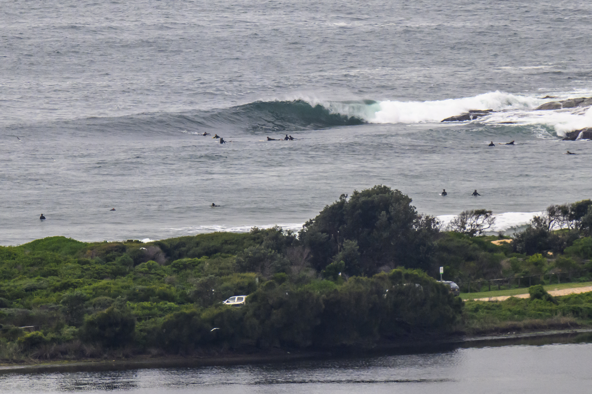
Swell has cleaned up and lined up overnight and this morning saw shoulder plus south sets working into Dee Why. Air was brisk, but the winds were light before 0700, so it was glassy and fun looking. As usual, the point was a bit smaller and a bit less consistent than the beachy.
The swell forecast models are all pointing toward a rapid weakening of the energy levels, so it’s a case of get in as soon as you can because there may not be much left in the tank by this afternoon. And thereafter it looks as though we’re in for marginal to flat conditions for the coming week.
Get out there and have yourself some fun!
Tide was high at 0610 and it’ll be low at 1210
Weather Situation
An intense low pressure system has moved away from New South Wales coast overnight, accompanied by an easing of winds near the coast. A strong high pressure system near the Bight will bring generally light to moderate winds to the region as it drifts slowly east during the weekend, reaching the Tasman Sea by late Sunday. A weak cold front is forecast to bring a southerly change to southern parts of the coast mid-week.
Forecast for Saturday until midnight
Winds
Southwesterly 15 to 20 knots decreasing to variable about 10 knots in the early afternoon then becoming south to southeasterly 10 to 15 knots in the late afternoon.
Seas
Up to 1.5 metres.
Swell
Southerly 2 to 3 metres.
Weather
Large swells breaking dangerously close inshore during the day.
Sunday 14 October
Winds
Southwest to southeasterly about 10 knots tending east to northeasterly during the evening.
Seas
Below 1 metre.
Swell
Southeasterly about 2 metres.
Monday 15 October
Winds
North to northwesterly about 10 knots tending north to northeasterly 15 to 20 knots during the day.
Seas
Below 1 metre increasing to 1 to 1.5 metres during the evening.
Swell
Southeasterly about 1.5 metres.

