Hello Friends,
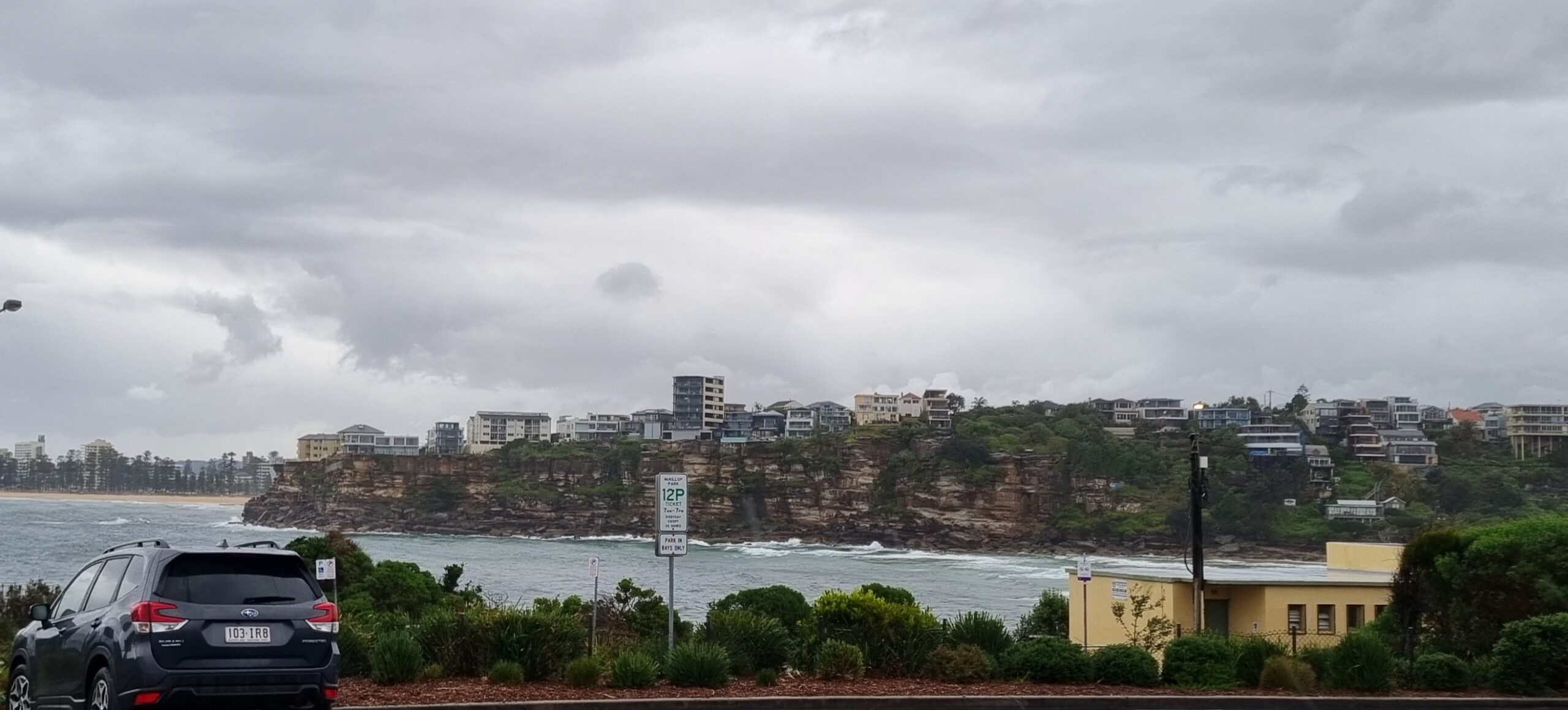
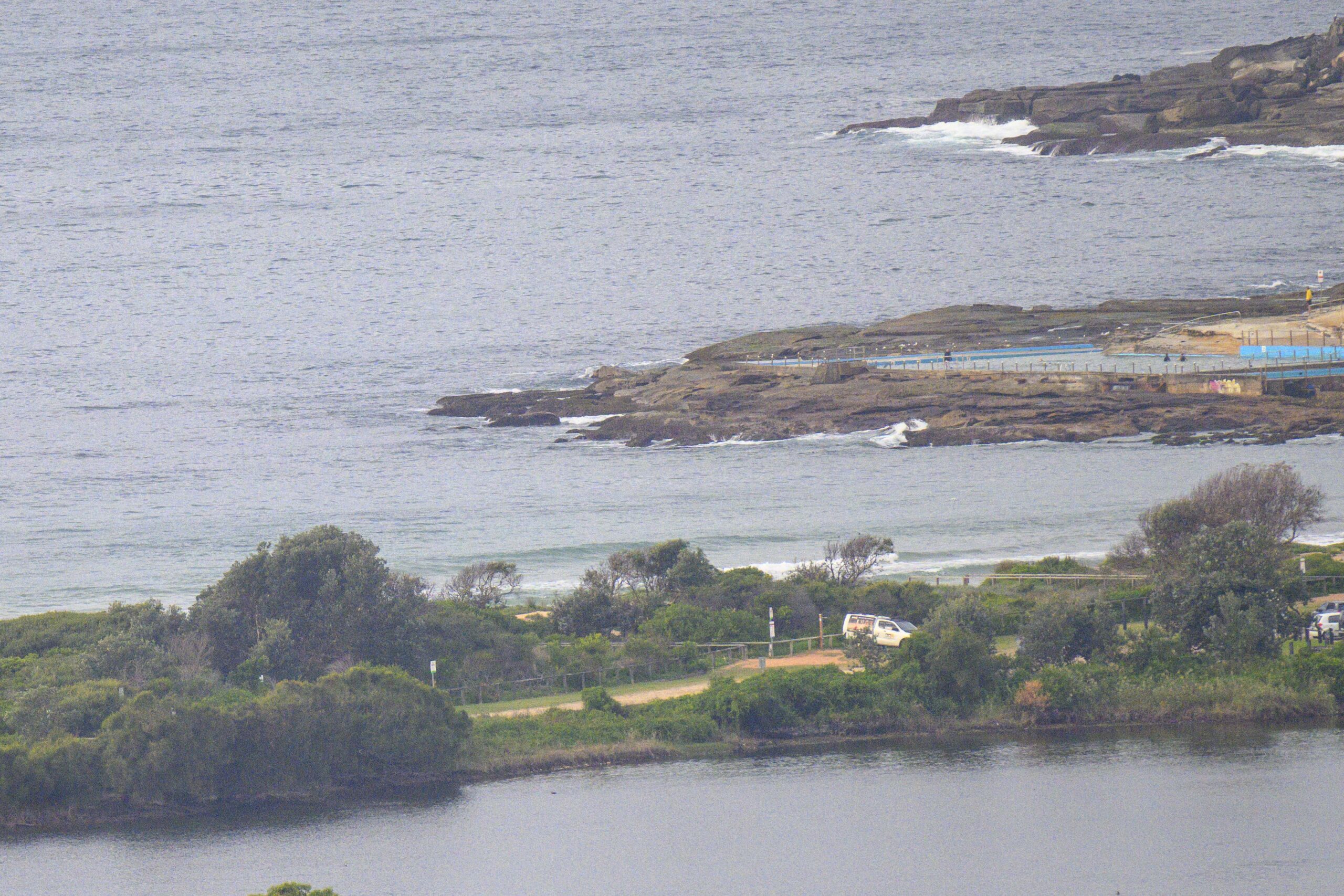
20 kts or so of SSW wind and partly cloudy skies as Monday kicked off in Sydney. Swell energy is mainly from the SSW, but there’s stuff coming from the SE as well. High tide a little before 1000 was swamping Dee Why and the Collaroy Narrabeen stretch, but in both cases there were a few knee to waist plus bumps folding gently in. It’s averaging around 2.5 metres at sea, but the average period is a wind swelly 7 seconds.
You better get on it though, because the Bureau says it’ll be going SE late this morning and then staying out of that unhelpful direction for the next few days at least.
Nothing of interest to Sydney surfers on this morning’s run of the long range forecast models, so it looks as if we’re in for another week of marginal and often onshore conditions.
Keep on smilin’!
Weather Situation
A high pressure system is moving slowly towards Tasmania extending a ridge along New South Wales coast. This high is expected to become slow moving near Tasmania on Wednesday maintaining the ridge to the north coast over the next few days. .
Forecast for Monday until midnight
Winds
Southerly 15 to 25 knots turning southeasterly 15 to 20 knots in the late morning.
Seas
1 to 1.5 metres.
Swell
Easterly about 1.5 metres.
Tuesday 12 February
Winds
Southeasterly 15 to 20 knots.
Seas
1 to 1.5 metres.
Swell
Easterly 1.5 metres.
Wednesday 13 February
Winds
Southeasterly 10 to 15 knots turning easterly during the afternoon.
Seas
Below 1 metre.
Swell
Easterly about 1.5 metres.


