

Hello Friends,
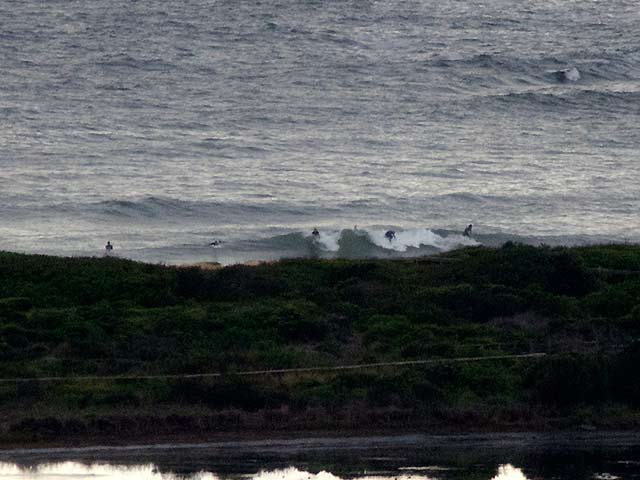
It was offshore as of 0800 this morning, but the Bureau says it’ll come around to the NE later. Swell is mainly out of the east at about a metre, but it’s only coming in at about 8 seconds apart, so the sets weren’t much above the waist high mark this morning at Dee Why. The surface conditions were pretty scrappy and the grey skies are delivering the odd shower. I don’t know that there is a significant problem, but the water looked a particularly unappetizing shade of brown yesterday. So, not exactly all time, but there is sort of something to try and catch if you’re keen.
Tide is low at 1050 and will come in a bit to a modest high at 1645.
Offshore water temp is an impressive, almost worringly, 25C!
Outlook for the coming week remains much as it has for the last month – marginal knee to waist high and mainly onshore conditions. You’ll have to get all the way up to the border to find any real improvement to size. But wind is still an issue. We’re in the doldrums for another week at least boys and girls…
Weather Situation
A high pressure system over the Tasman Sea extends a ridge over NSW. The Monsoon Trough lies over the northern Queensland coast. The high is expected to move slowly east over the next few days.
Forecast for Wednesday until midnight
Winds
Northeasterly 10 to 15 knots. Light and variable winds inshore early.
Seas
Below 1 metre.
Swell
Easterly 1 metre.
Thursday 7 March
Winds
North to northeasterly 15 to 20 knots.
Seas
Below 1 metre.
Swell
Easterly 1 metre.
Friday 8 March
Winds
Northeasterly 10 to 15 knots decreasing to about 10 knots during the morning then increasing to 10 to 15 knots during the evening.
Seas
Below 1 metre.
Swell
Easterly 1 metre.


