Hello Friends,
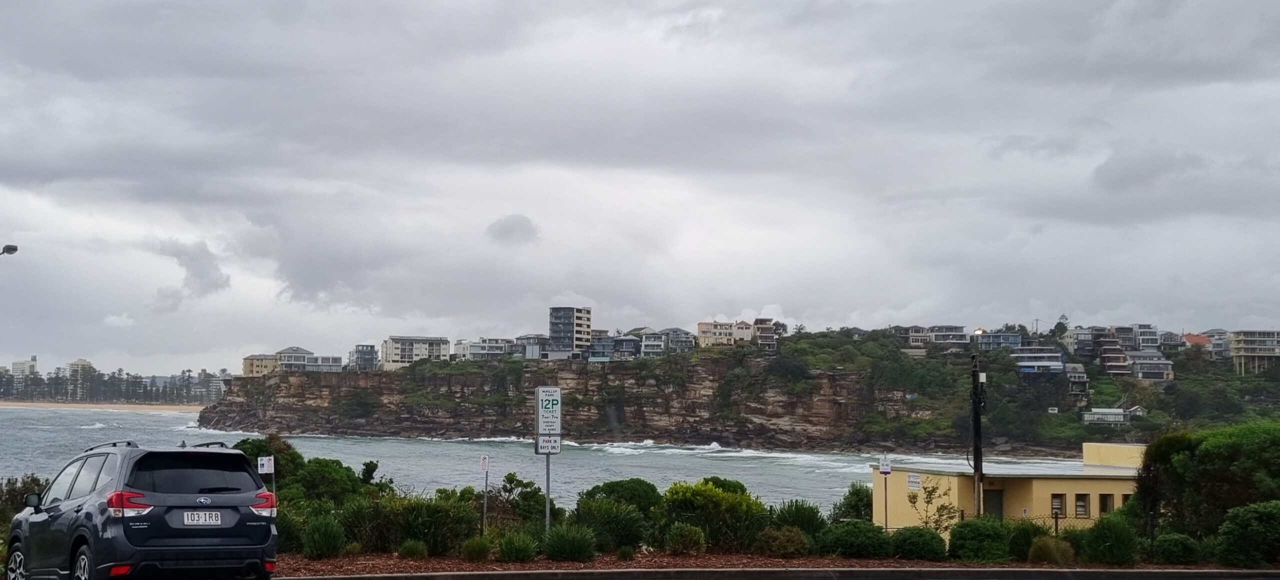
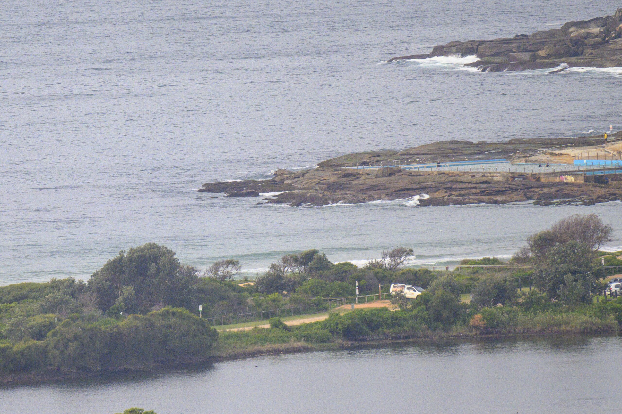
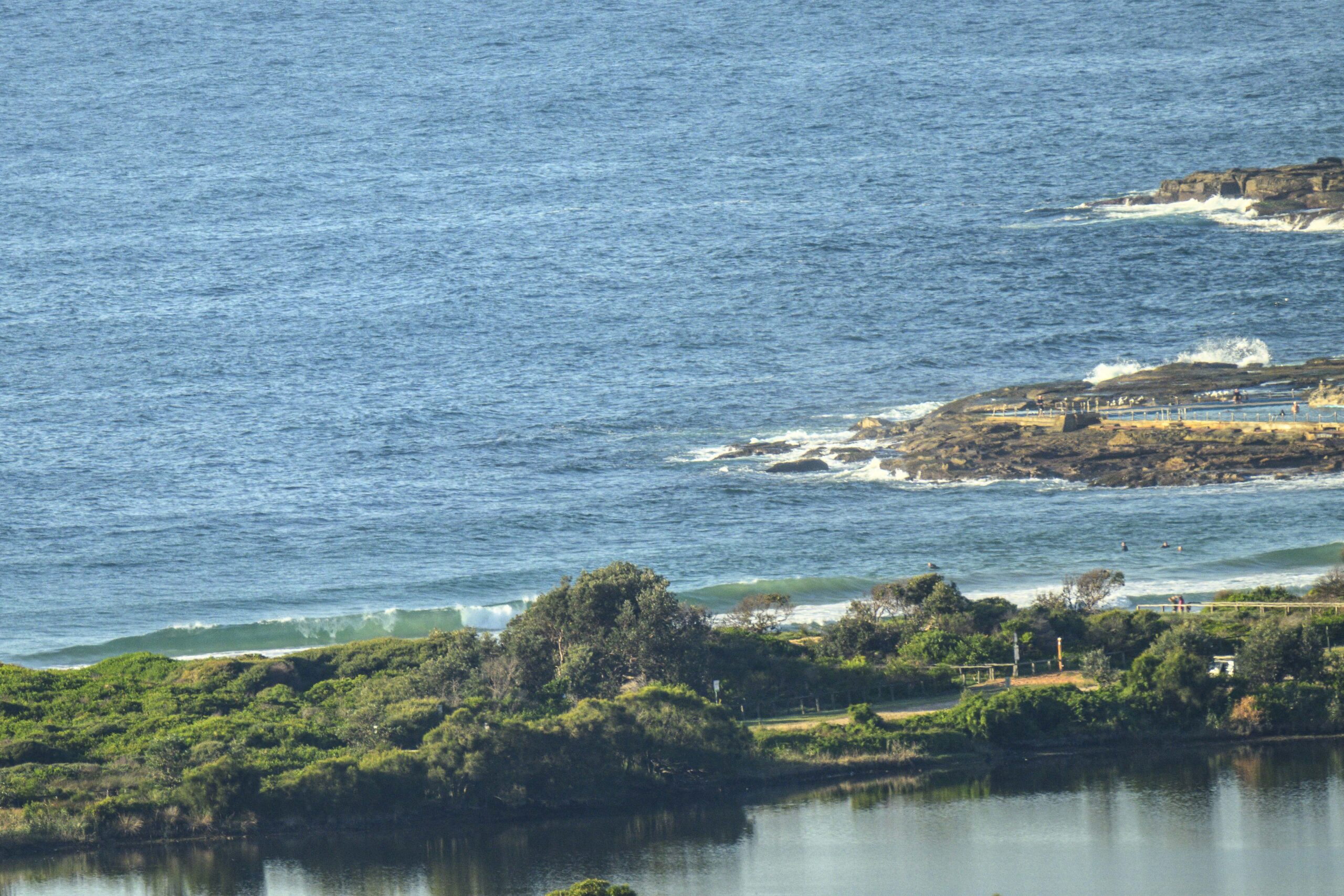
Swell is fading in line with expectations, but there were definitely waves to be had as of 0730. It’s still coming mainly from the SE, but is now about 1.5 metres on average at sea and the period is just shy of the 13 second mark. Swell is set to weaken toward midday, which isn’t going to work too well with the incoming tide which pill hit high at 1150.
There wasn’t much wind about to begin with. The Bureau says it’ll go northerly before long and get up to 15-20 kts.
So, as is so often the case, those who go early will go best!
Outlook is for the swell to drop into the marginal range for the next 3-4 days, but with luck it won’t go absolutely flat…
Have yourself a good one!
Weather Situation
A high pressure system over the western Tasman Sea extends a ridge to the New South Wales north coast. The high will move slowly eastwards over the next few days, whilst maintaining a ridge to the north coast of New South Wales. A southerly change is then expected along the New South Wales coast on Sunday.
Forecast for Wednesday until midnight
Winds
Northerly 15 to 20 knots.
Seas
1 to 1.5 metres.
Swell
Southerly 1.5 to 2 metres, decreasing to 1 to 1.5 metres around midday.
Thursday 30 May
Winds
Northerly 15 to 20 knots.
Seas
1 to 1.5 metres, decreasing below 1 metre around midday.
Swell
South to southeasterly around 1 metre.
Friday 31 May
Winds
North to northwesterly 10 to 15 knots.
Seas
Around 1 metre.
Swell
East to northeasterly around 1 metre.


