Hello Friends,
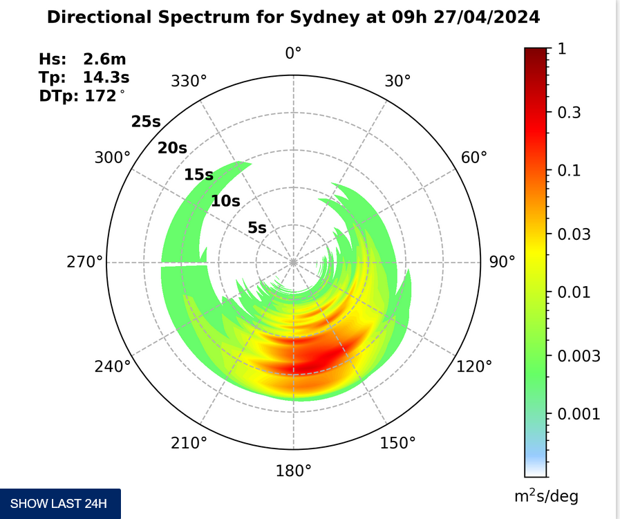
A little trickle of SSW swell showing this morning. Again we have brilliant blue skies and cold offshore wind, so you’ll want to be rugged up for the early. Swell is about 1.3 metres and has an average period of 6 seconds. Tide is high at 0810 and then back to low a little after 1400.
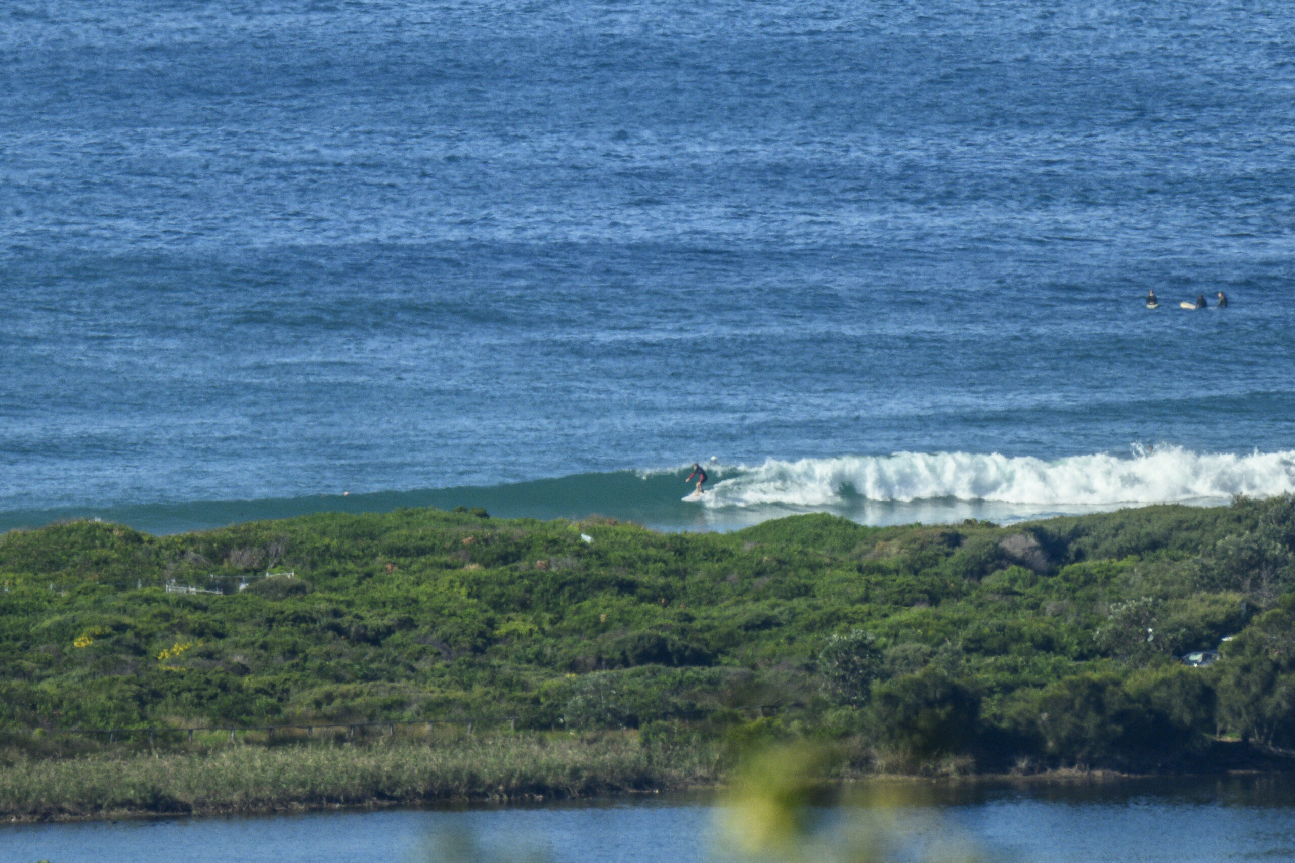
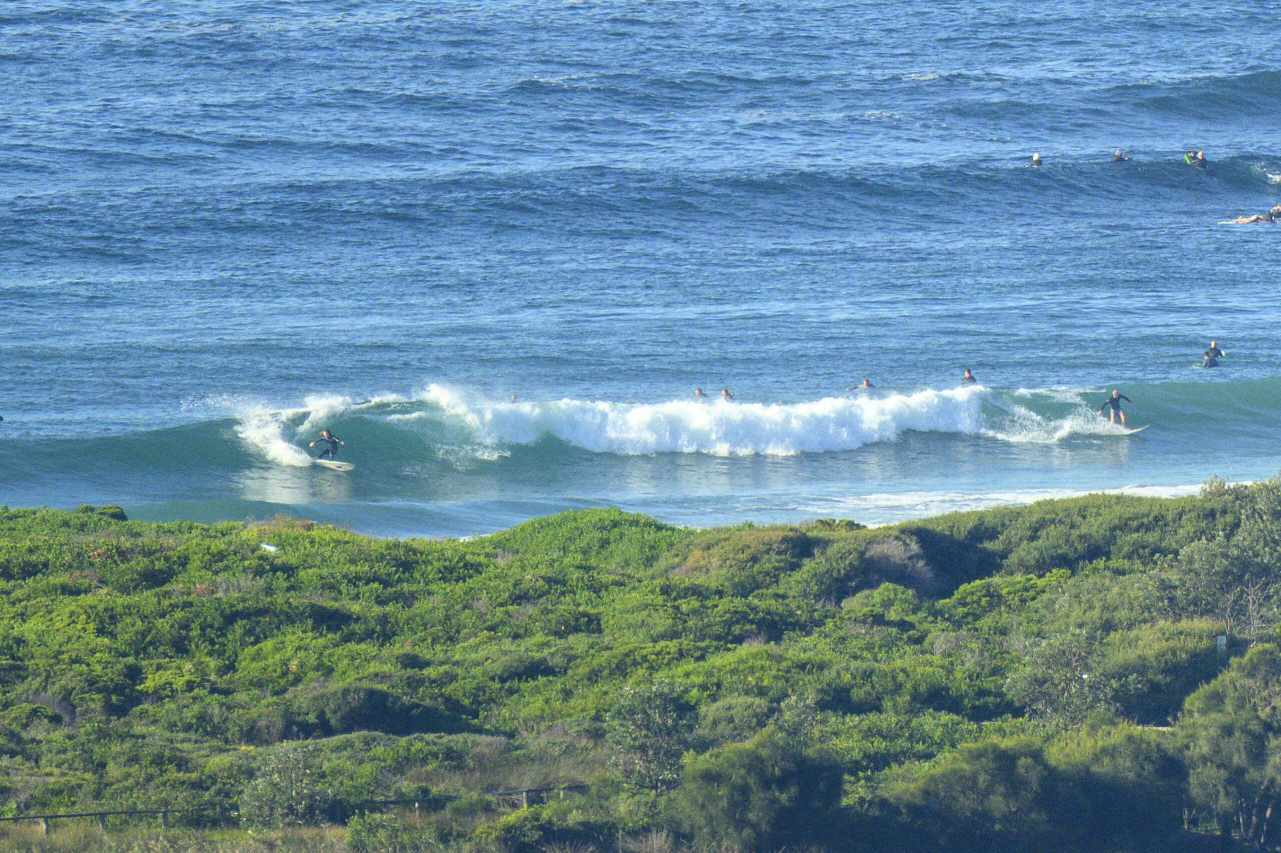
According to the Bureau’s modelling, the swell is going to peak this morning and then fade back later in the day. Sets at Dee Why beach around 0700 were around the waist to chest mark. Nothing was happening at the point. Dropping tide and dropping swell…hmmm…not too flash really.
The outlook according to the models is for today’s brief little uptick to be followed by a two-day lull before another brief pulse from the south for Saturday. Whether it’s likely to last into Sunday is less clear and then beyond that it currently looks like being pretty small to flat.
Have yourself a great Wednesday everyone!
Forecast issued at 4:10 am EST on Wednesday 21 August 2013.
Weather Situation
A series of frontal systems are expected to pass over the southern parts of the state over the next few days. Otherwise a weak high pressure ridge extends over the far northern parts of the state, forming a weak high over the north coast late on Thursday.
Forecast for Wednesday until midnight
Winds
Southwesterly 20 to 25 knots turning westerly 15 to 20 knots in the afternoon.
Seas
1.5 to 2 metres, decreasing below 1.5 metres around midday.
Swell
Southerly 1 to 1.5 metres, increasing to 1.5 to 2 metres during the morning, then decreasing to 1 to 1.5 metres during the afternoon.
Thursday 22 August
Strong wind warning for Thursday for Sydney Coastal Waters
Winds
Westerly 15 to 25 knots increasing to 20 to 30 knots in the evening.
Seas
1.5 to 2.5 metres.
Swell
Southerly up to 1 metre.
Friday 23 August
Winds
Westerly 20 to 30 knots.
Seas
2 to 3 metres.
Swell
Southerly below 1 metre.


