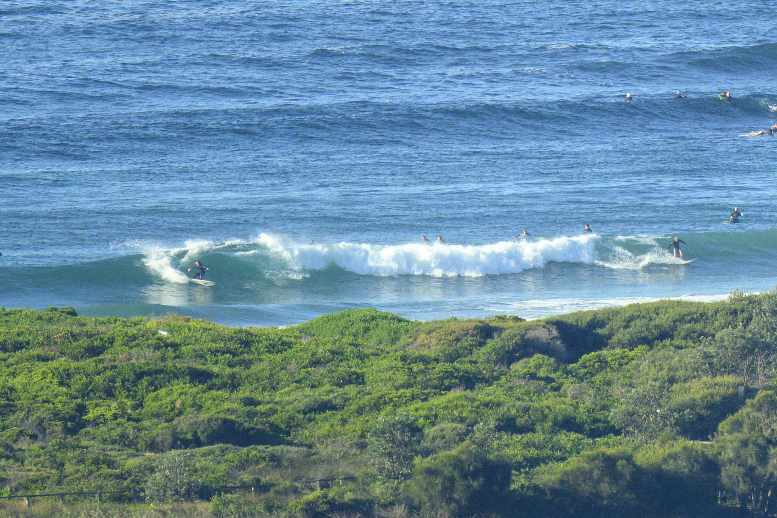
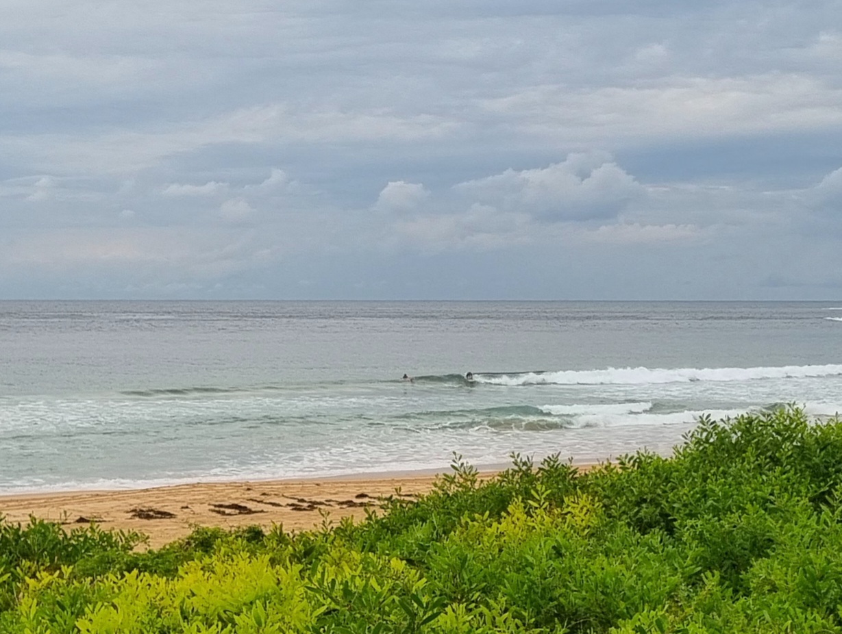
Here are a couple of snaps from Dee Why this morning. Conditions were very nice. Sunny, lightly offshore, good tide, chest high sets…unfortunately there are no banks (blame the long flat spell), so they were almost all shutting down. Still, fun to be in the water.


Before 0700…


Hello Friends,
A cooler start than yesterday but we’re still headed for a high of 24 (which is a couple degrees above the historical mean for September). Unfortunately, as far as Dee Why’s concerned, there’s really not much going on with the ocean. Swell is out of the S-SE at 1.4 metres on average, with a period of 5-12 sec (which means the buoy is showing a tiny long period component and some wind chop on top of it). At Dee Why this means nothing is happening at the point and down the beach, where the swell exposure is better, it’s around the knee high mark.
Next tide is the high at @1210
Bummed about the swell forecast modelling for the next few days for Sydney. It now looks as though we’ll be lucky to see waist to chest for the early tomorrow. It seems the very short S pulse will arrive and peak during the night hours. Still, it should be better than today size-wise and with luck there might even be some bump left on Friday. The Goat often files his weekly outlook on Thursdays, so I’ll be keen to see if he thinks the prospect of another, better, south pulse on Saturday adds up.
Did you know that every day, hundreds of people get this report via email and rss feed? If we could get just ten percent of you good folk to pledge toward our crowdfunding goal, we’d be over the line comfortably. Every day I’m trying to think of some way or somehow to make the argument persuasive. But in the end it comes down to this: for 18 years now I’ve been doing my best to accurately capture the day’s surf conditions for whomever is interested in knowing about ’em. I’d really appreciate it if you could see your way clear to make a pledge today. Thanks in advance, and go well with your Wednesday!
Forecast issued at 4:10 am EST on Wednesday 11 September 2013.
Weather Situation
A broad low pressure trough is moving across NSW is associated with a south to southwesterly winds dominating most of districts today. A high pressure system west of Tasmania on Wednesday will move eastwards to be to its south by late Thursday, directing onshore winds over most of the coast.
Forecast for Wednesday until midnight
Strong wind warning for Wednesday for Sydney Coastal Waters
Winds
West to southwesterly 15 to 25 knots. Winds may reach up to 30 knots from this morning.
Seas
1.5 to 2.5 metres.
Swell
Southerly around 1 metre, increasing to 1 to 1.5 metres later in the evening.
Thursday 12 September
Winds
Southwesterly 15 to 25 knots becoming variable about 10 knots in the morning then becoming southerly 15 to 20 knots in the evening.
Seas
1 to 2 metres, decreasing below 1 metre around midday, then increasing to 1 to 1.5 metres later in the evening.
Swell
Southerly 1 to 1.5 metres, increasing to 1.5 to 2 metres later in the evening.
Friday 13 September
Winds
South to southeasterly 15 to 25 knots turning east to northeasterly 15 to 20 knots during the day.
Seas
1.5 to 2 metres, decreasing below 1.5 metres during the morning.
Swell
Southerly 1 to 1.5 metres.


