
Hello Friends,
Swell peaked overnight but is still coming out of the south with an average height at sea of 2.5 methres at close to 9 seconds apart. From the shape of the forecast and the look of the swell south of us, the energy levels are going to drop off pretty quickly across the day. The wind will be out of the S-SW all day, starting out at 20-25 kts, but gradually decreasing as we reach the afternoon.
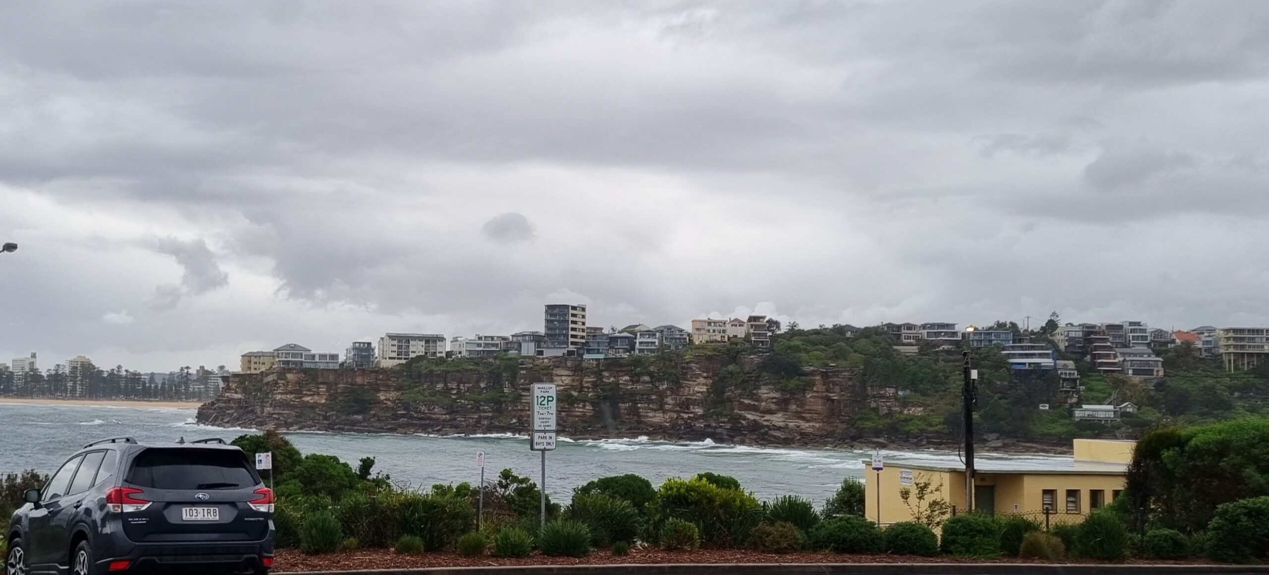
Sets at Dee Why were into the chest high range on the bigger ones as we approached high tide at 0725. Maybe as the tide drops it’ll offset the effect of the weakening swell… It should be sunny today with a high around 21.
Were you thinking of kicking your pledge in today? Excellent, look forward to seeing that target inch a little closer!
Have a great Friday everyone.
Forecast issued at 4:10 am EST on Friday 4 October 2013.
Weather Situation
A strong southerly wind flow prevails along the New South Wales coast, easing in the south. A high pressure ridge will develop over the western Tasman Sea during Friday and winds are expected to ease gradually.
Forecast for Friday until midnight
Winds
South to southwesterly 20 to 25 knots, decreasing below 10 knots in the evening.
Seas
2 to 2.5 metres, decreasing below 1.5 metres during the morning, then decreasing below 1 metre during the afternoon.
Swell
Southeasterly around 1 metre, tending southerly 1 to 1.5 metres during the morning.
Saturday 5 October
Winds
Variable about 10 knots becoming northerly 10 to 15 knots in the middle of the day.
Seas
Around 1 metre.
Swell
Southeasterly around 1 metre.
Sunday 6 October
Winds
Northwesterly 10 to 15 knots tending northwest to northeasterly 15 to 20 knots in the afternoon.
Seas
1 to 1.5 metres.
Swell
Southeasterly around 1 metre.


