

Hello Friends,
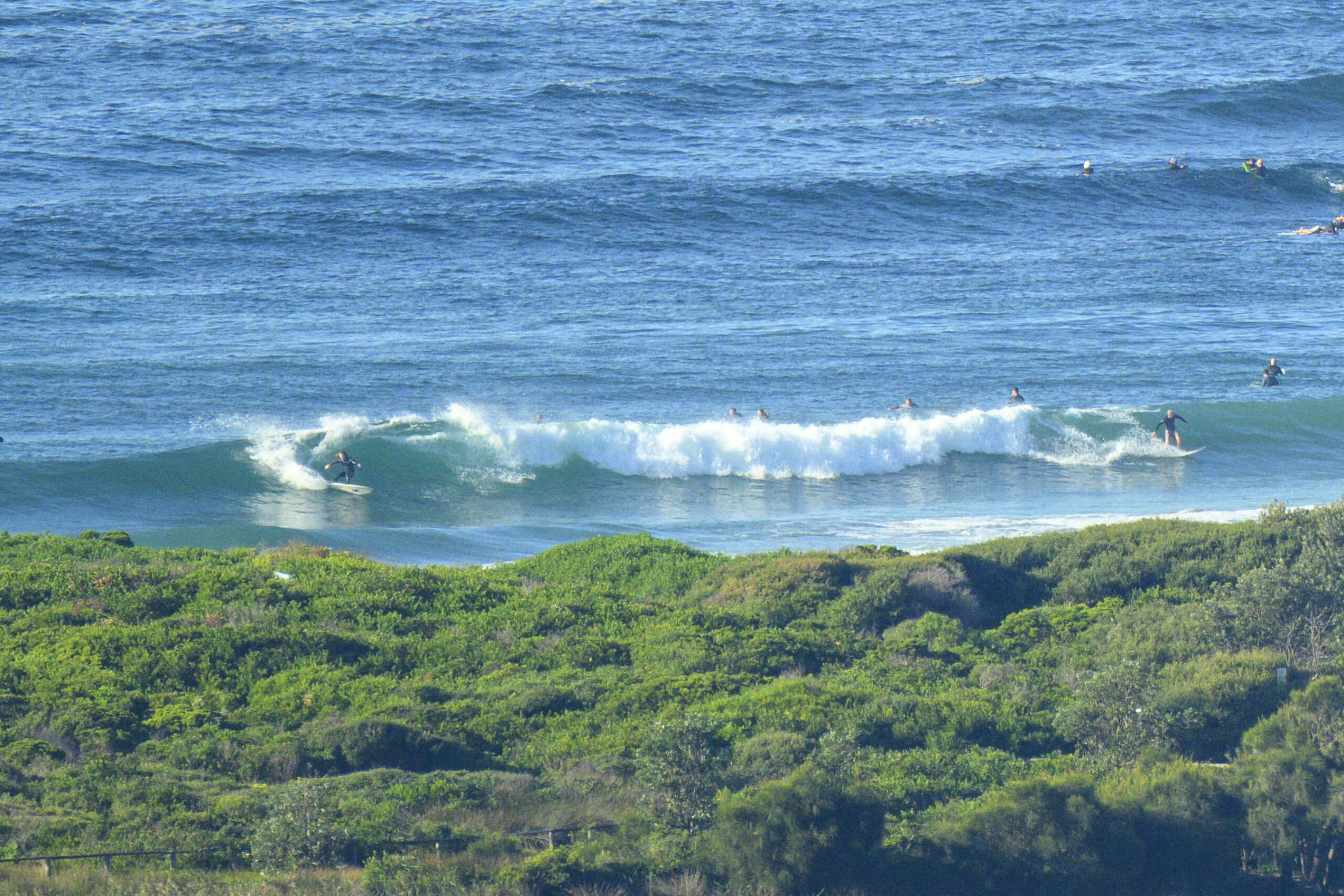
UPDATE: 0745 checked Curly and swell showing more there than at Dee Why. Damn cool though. Set wave faces were into the shoulder high range with a fair percentage shutting down. Main energy is up at the north end, but seemed to be a few peaks on down the beach as well.
0630:
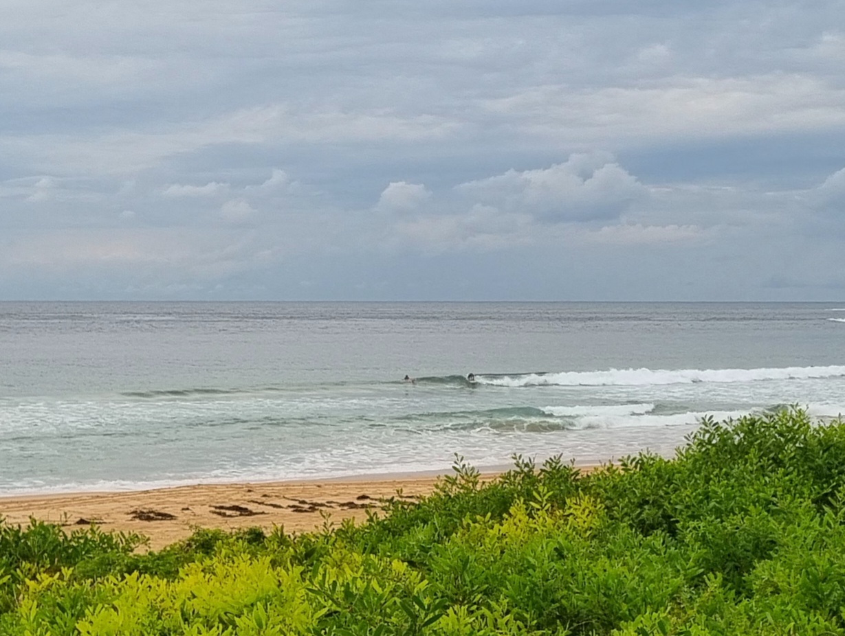
Chilly start to a sparkling blue-sky morning on Sydney’s shores. No wind to speak of, high tide was hours away but there was almost no swell energy. Just about a millpond in fact. A quick check of the MHL data shows only about 1.5 metres of 9 second period south-ish energy. Better exposed spots might possibly be producing something approaching the waist high mark, but at Dee Why the handful of people trying to catch waves were confronted with sub-knee high lines for the most part. From the WRL cam, it looked as though south Narrabeen was even more woeful.
The Bureau is calling for the wind to be SW again for the front half of the day, but to turn SE in the late arvo. It’s also saying we could see the swell ramp up toward the middle of the day. While there’s no real sign of an improvement at Dee Why as of 0720, there is a little pulse showing on the MHL Pt Kembla buoy. So… fingers crossed…
I’ve got to run an errand this am, so I might have a closer look. If I spot anything, I’ll update.
Have a great Friday!
Tides: H @1030, L @1710
Forecast issued at 4:10 am EDT on Friday 6 December 2013.
Weather Situation
A low pressure system and associated trough lies over the Tasman Sea. A high pressure system is located over the Bight. A cool south to southwesterly airstream is being produced between these two systems and is expected to weaken as the low pressure system and trough moves further away to the east today. Winds may turn more southeasterly as the high pressure ridge extends along the coast. Over the weekend the high pressure system will move over New South Wales, before reaching the Tasman Sea during Sunday with a return to a northwest to northeasterly airstream. Another trough is expected to pass from west to east over the state in the early part of the new week, reaching southern and central parts of the coast on Tuesday.
Forecast for Friday until midnight
Strong Wind Warning for Friday for Sydney Coastal Waters
Winds
Southwesterly 15 to 25 knots turning south to southeasterly 10 to 15 knots in the late afternoon. Winds reaching up to 30 knots offshore in the morning.
Seas
2 to 3 metres, decreasing below 2 metres during the morning, then decreasing below 1 metre by early evening.
Swell
Northeast to southeasterly around 1 metre, tending south to southeasterly 1 to 1.5 metres around dawn, then tending southerly 1.5 to 2.5 metres around midday.
Saturday 7 December
Winds
Variable about 10 knots becoming east to northeasterly 10 to 15 knots in the evening.
Seas
Below 1 metre.
Swell
Southerly 2 to 3 metres.
Sunday 8 December
Winds
Northeasterly 10 to 15 knots turning northerly 25 to 30 knots during the evening.
Seas
Around 1 metre, increasing to 1.5 to 2.5 metres during the evening.
Swell
Southerly 1.5 to 2 metres.


