Hello Friends,
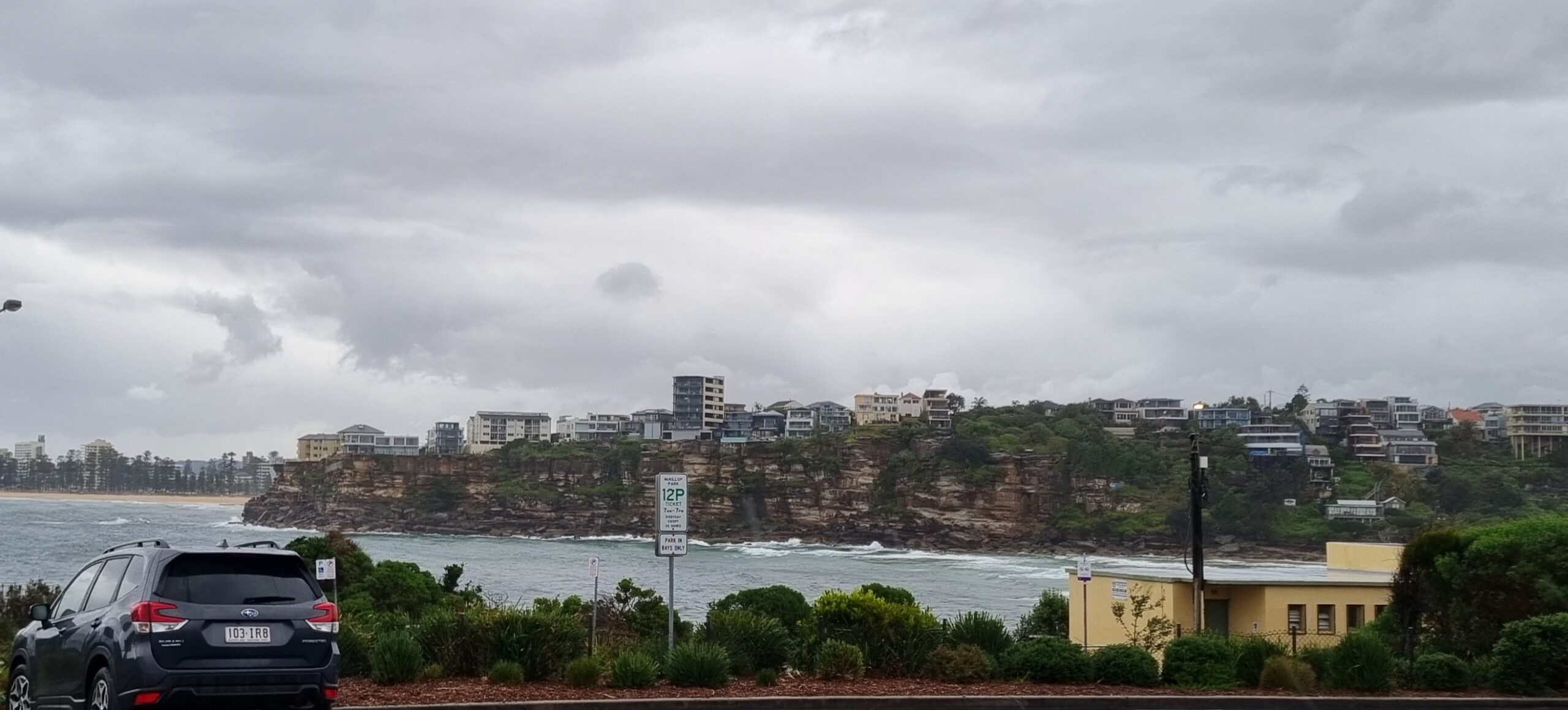
Looks like the south change yesterday brought the expected uptick in swell. Wind is lightly SW too, so there should be an option about. 20+mm of rain have in the last 24 hours, and as a consequence beachwatch is warning of possible pollution at most beaches (including Dee Why) between Bungan and Manly and across most of the eastern suburb beaches due to the run off.
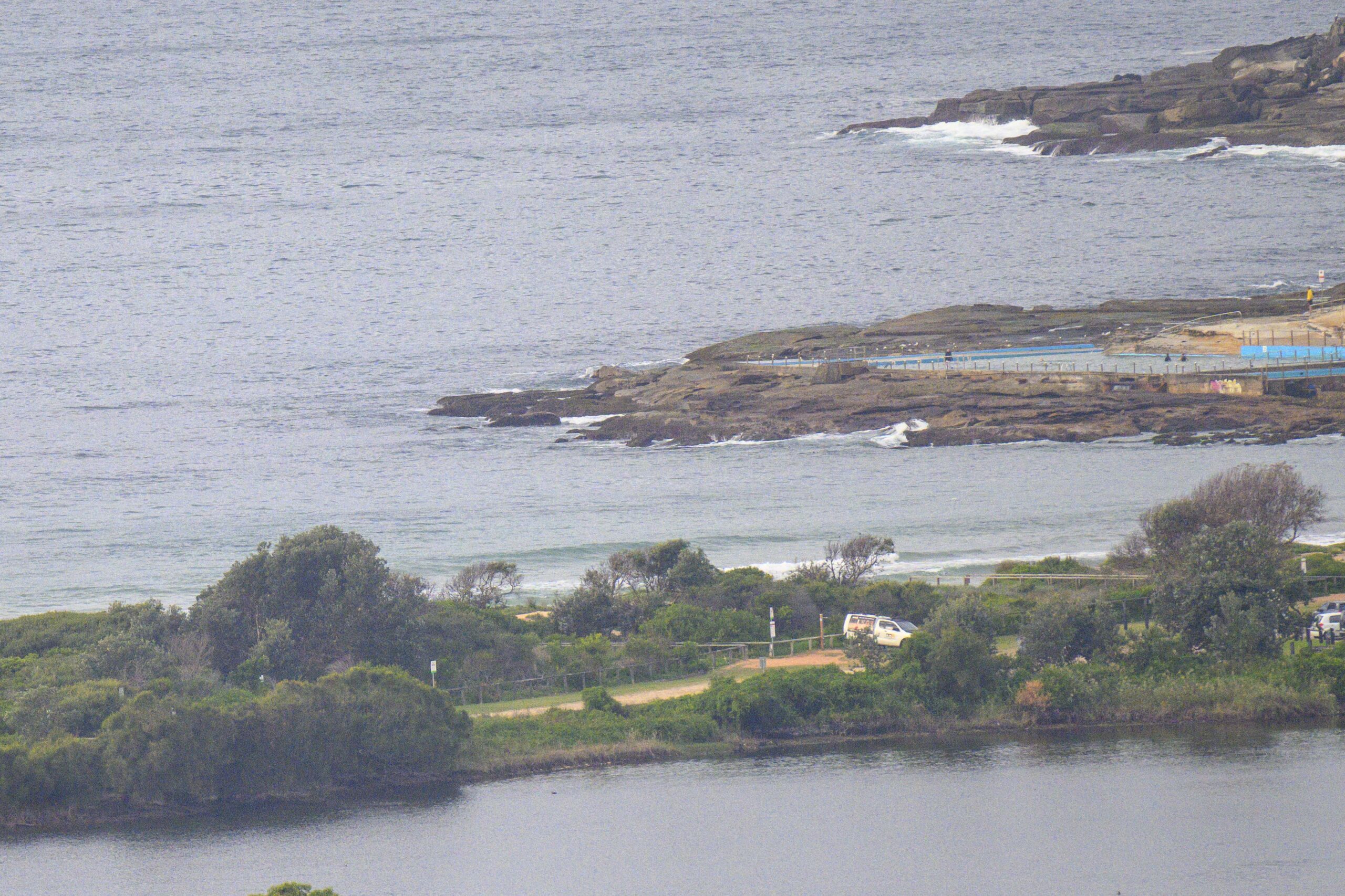
Sets at Dee Why are struggling to get above the waist high mark, despite the swell being 2.5 metres at sea early this morning. It’s showing 2.5 metres at 8 seconds. Given those numbers, I’m surprised at how weak, inconsistent and just generally paltry it is.
On a brighter note, I’m liking the look of the swell prediction models this morning. Could it be that the summer pattern is starting to break down and that we’ve finally going to start seeing the energy bumping up into the fun range at more regular intervals? While the outlook is basically smallish, there seems to be a prospect of longer period stuff from Friday through Monday. Wind patterns aren’t shaping to be too crash hot, but, hey, you could get lucky…!
Have a great Monday everybody, and keep on smilin’!


Tides: H @1035, L @1550
Weather Situation
A trough stalls over the far north coast today as a weak high pressure ridge extends over the western Tasman Sea by Tuesday. This high pressure system will be the dominant circulation until another trough and associated southerly change extend across the state late on Wednesday and into Thursday.
Forecast for Monday until midnight
Winds
Southerly 15 to 20 knots becoming east to southeasterly 10 to 15 knots in the afternoon.
Seas
1.5 metres, decreasing below 1 metre during the morning.
Swell
Northeast to southeasterly 1 to 1.5 metres, increasing to 1.5 to 2 metres offshore around midday.
Tuesday 18 February
Winds
East to northeasterly 10 to 15 knots, increasing to 15 to 20 knots in the evening.
Seas
Around 1 metre, increasing to 1.5 metres by early evening.
Swell
Southerly 1.5 to 2 metres, decreasing to 1 to 1.5 metres , then decreasing to around 1 metre during the afternoon.
Weather
The chance of thunderstorms offshore from the late morning until evening.
Wednesday 19 February
Winds
North to northeasterly 15 to 20 knots turning northwesterly 10 to 15 knots during the evening.
Seas
1 to 1.5 metres.
Swell
Northeast to southeasterly around 1 metre.
Please be aware
Wind gusts can be 40 percent stronger than the averages given here, and maximum waves may be up to twice the height.
Nearby Coastal Waters


