Hello Friends,
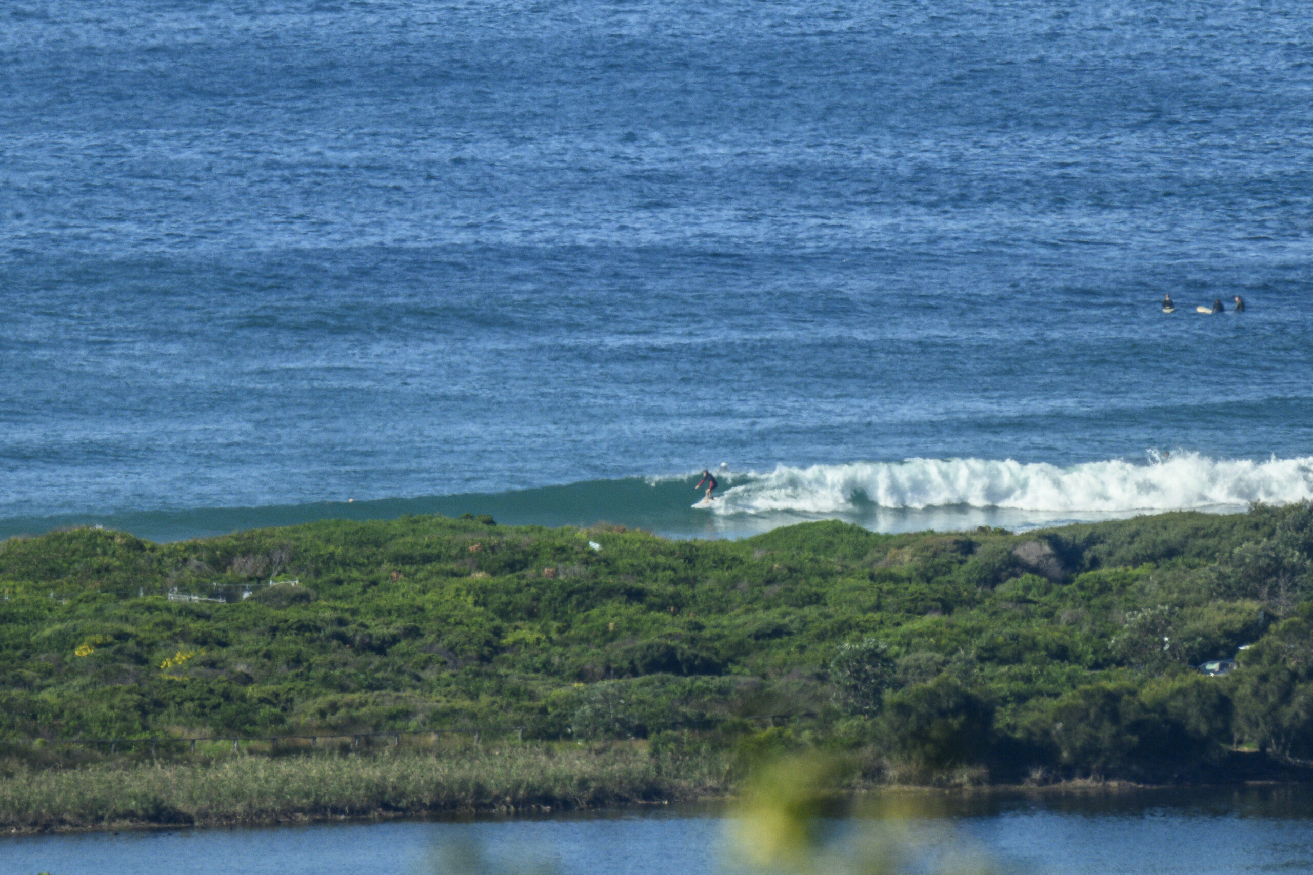
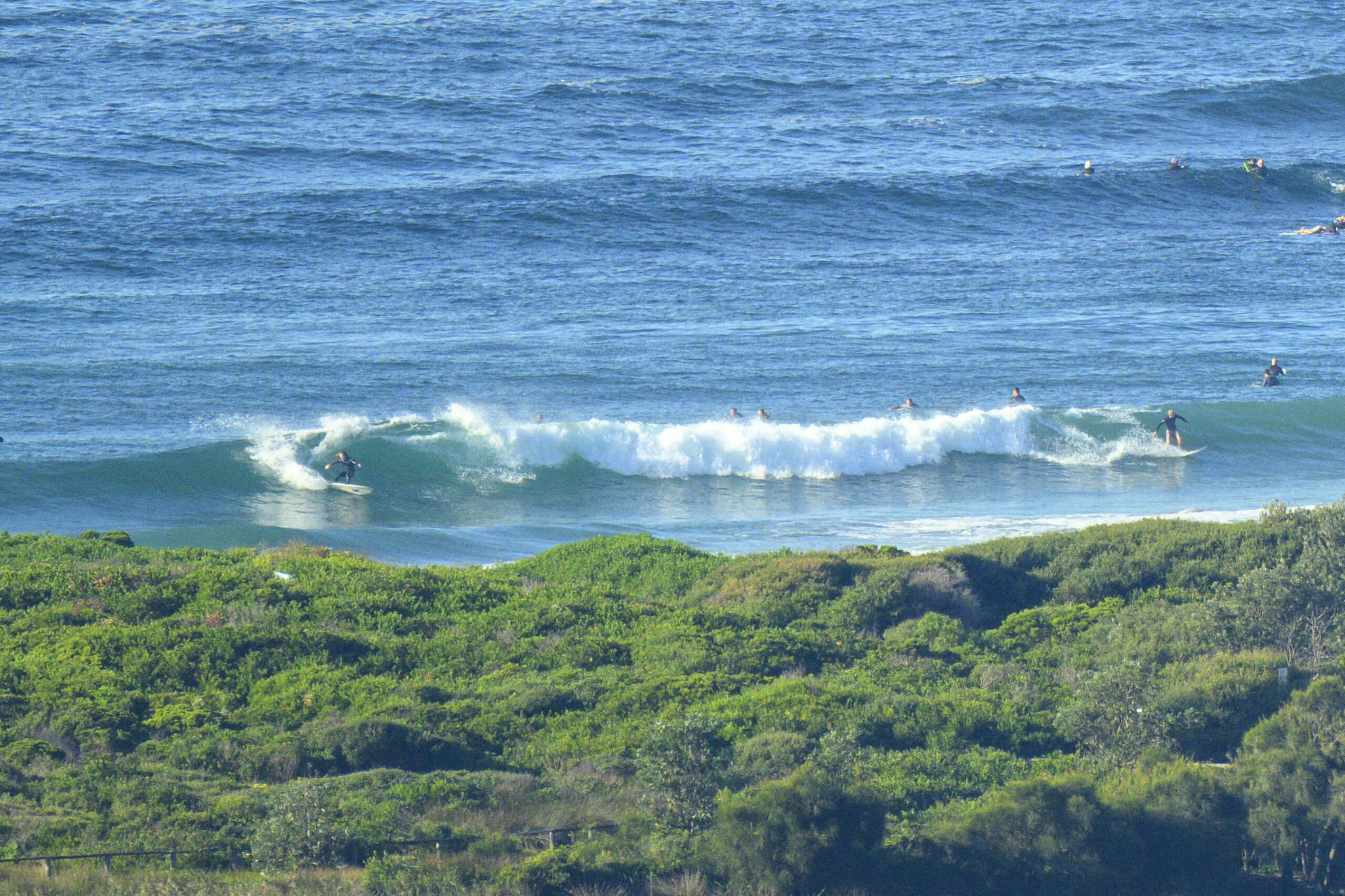
Damn nippy this morning thanks to 10-15kts of WNW wind and it being, well, winter. Bureau says the wind’ll get up to 35 kts this morning. Swell is out of the south at 1.3 metres with an average period of 9 seconds. So, as the pictures reveal, at 0800 it was knee to waist on the incoming tide (high’s at 0955). Reasonable number of punters braving the wind chill too.
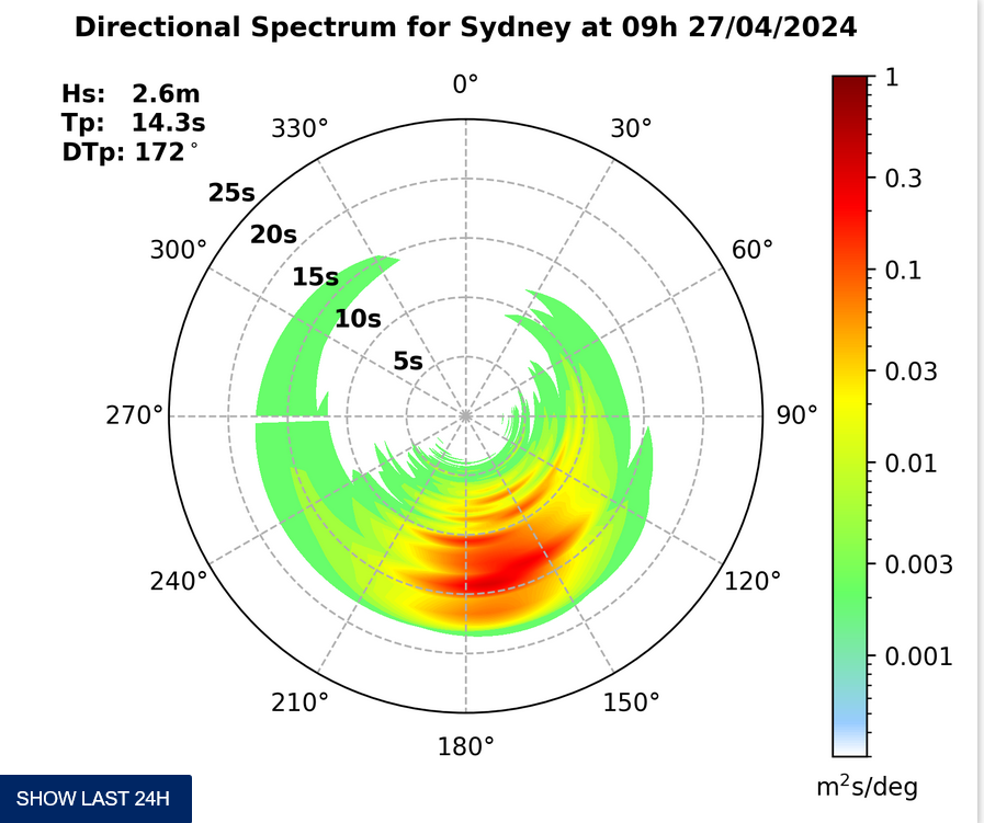
Swell should begin to build late in the day. As of 0600 the Eden waverider buoy was showing 5m of SSE swell at close to 10 seconds. Wind is 40-45 kts down there and when you add in the seas, sailors offshore from Eden could be seeing up to 8 metres of swell plus seas. Yikes! Still, I wouldn’t expect to see anything like that up our way.
By tomorrow morning the wind should be around the 15-20 kt range from the SW and the swell should be with us. The Bureau says we could see 2-3 metres. It probably won’t last long though. By Tuesday afternoon the Bureau thinks it’ll be less than a metre.
The rest of the week is shaping to be marginal but if the very long rang models have it right, our next pulse could kick in for Saturday.
Have yourself a great Sunday everyone!


Weather Situation
A low pressure system lies off New South Wales south coast with an associated trough extending northwards to the Coral Sea .This low will deepen during Sunday morning bringing vigorous winds to the southern half of the coast. Later on Sunday the low will move away from the coast, as a strengthening high approaches from the west. This high is forecast to be the main synoptic feature for the coming week, although coastal winds will remain fresh in many parts during Monday and again on Friday as cold fronts pass to the south.
Forecast for Sunday until midnight
Gale Warning for Sunday for Sydney Coast
Winds
Westerly 15 to 25 knots, reaching up to 35 knots offshore during the afternoon and evening. Winds turning southwesterly in the middle of the day.
Seas
1.5 to 2 metres, increasing to 2 to 3 metres during the morning, then increasing to 2.5 to 4 metres around midday.
Swell
East to southeasterly around 1 metre, tending south to southeasterly 1.5 to 2 metres later in the evening.
Weather
Isolated thunderstorms until this evening.
Monday 16 June
Strong Wind Warning for Monday for Sydney Coast
Winds
Southwesterly 15 to 20 knots, reaching up to 30 knots offshore early in the morning. Winds turning westerly in the morning.
Seas
1.5 to 2.5 metres, decreasing below 1.5 metres around midday, then increasing to 1.5 to 2 metres later in the evening.
Swell
Southerly 2 to 3 metres, decreasing to 2 metres by early evening.
Tuesday 17 June
Winds
Westerly 15 to 20 knots turning south to southwesterly 25 to 30 knots during the afternoon.
Seas
1 to 1.5 metres, increasing to 1.5 to 2.5 metres during the morning.
Swell
Southerly 1 to 2 metres, tending southeasterly below 1 metre during the afternoon.
Weather
The chance of thunderstorms offshore until evening.


