Hello Friends,
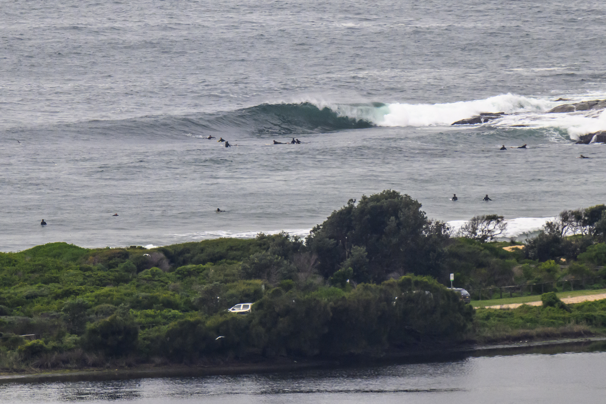
Wind pushing along at 20-25 kts from the WNW as the day got started and, according to the MHL Sydney buoy, there’s not a hint of swell.
That wind is set to ramp up into the 25-40 kt range later, so no hope of a wave today in Sydney I’d say.
Outlook according to the swell prediction models is for it to be flat for a few days yet but maybe things will turn around for us mid next week…
Have yourself a great Tuesday!

Weather Situation
A cold front crossed southern and central coastal waters late yesterday and overnight and will move through northern waters this morning. An intense low pressure system west of Tasmania is expected to move east/northeast through Bass Strait today resulting in gale force winds for southern and central parts of the NSW coast, particularly this afternoon and evening. A trough will cross southern and central parts of the coast on Wednesday as a deep low well to the south of Tasmania moves slowly to the southeast. Further cold fronts are likely to affect NSW coastal waters during the remainder of the week.
Forecast for Tuesday until midnight
Gale Warning for Tuesday for Sydney Coast
Winds
Northwesterly 20 to 30 knots, increasing to 25 to 40 knots in the afternoon and tending west to northwesterly.
Seas
1 to 2.5 metres, increasing to 2 to 4 metres during the afternoon.
Swell
Southeasterly around 1 metre.
Wednesday 25 June
Gale Warning for Wednesday for Sydney Coast
Winds
Westerly 25 to 35 knots.
Seas
2 to 3 metres, increasing to 3 to 4 metres around midday, then decreasing below 3 metres during the afternoon.
Swell
Southerly below 1 metre.
Thursday 26 June
Winds
West to northwesterly 20 to 30 knots.
Seas
2 to 3 metres.
Swell
Southerly around 1 metre.

