Hello Friends,
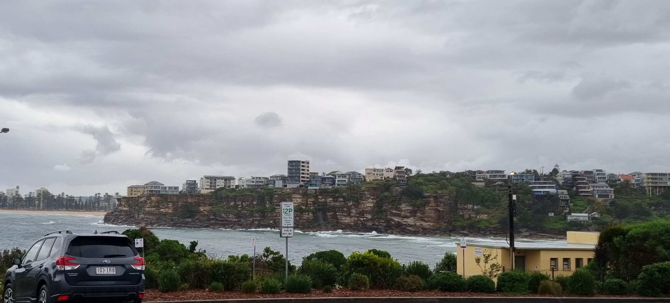
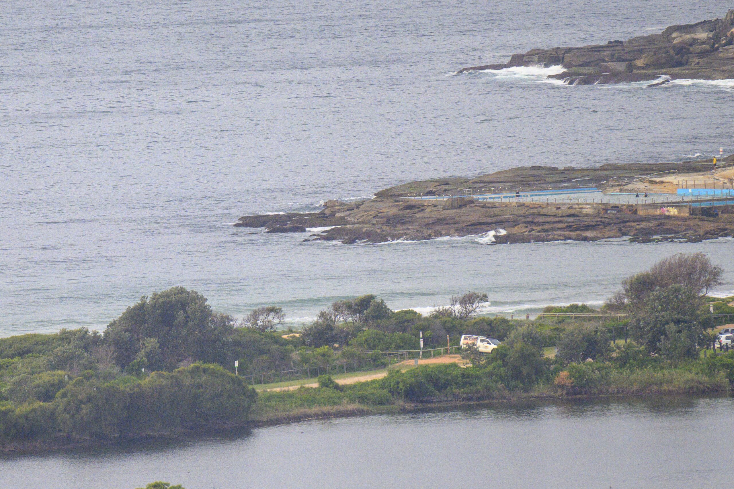
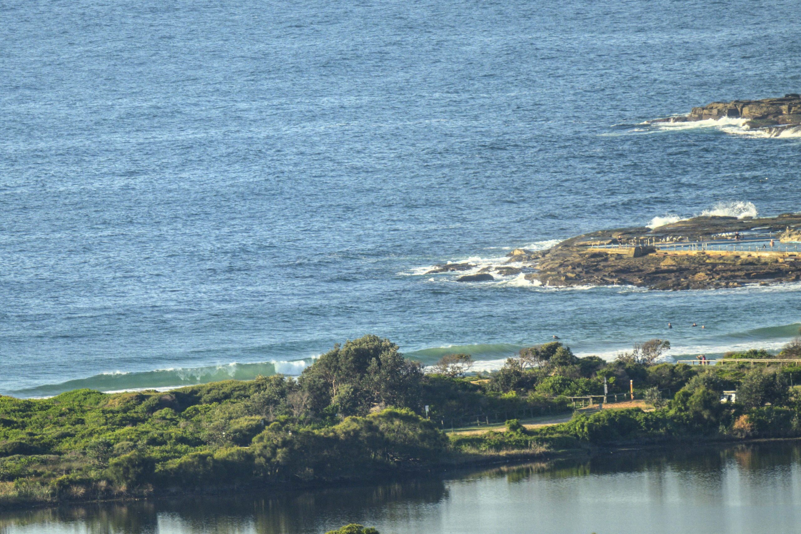
As of 0730 there were knee to waist plus sets along the beach at Dee Why. The point was occasionally throwing up a waist high thing, but they weren’t running very far. Tide was low at 0730 and swell was out of the near the 1.5 metre mark from the ESE at 10 seconds apart. Skies are set to be sunny all day and the wind should be light and variable all day.
Outlook is for the wave situation to bumble along at about this energy level through the day. Tomorrow looks like being more marginal again, but after that the models tell us that we could see potentially fun little boost Wednesday, with another lull Thursday and then, with luck, a solid pulse of longer period south energy for late Friday into Saturday.
Keep on smilin’ and have yourself a top old Monday!


Weather Situation
A strong high pressure system over southeastern Australia is slowly moving east strengthening a ridge across the western Tasman Sea. The next south to southwesterly change along New South Wales coast is expected to develop on the south coast late Wednesday.
Forecast for Monday until midnight
- Winds
- Variable below 10 knots.
- Seas
- Below 0.5 metres.
- Swell
- Southerly around 1 metre.
Tuesday 5 August
- Winds
- North to northeasterly below 10 knots becoming west to northwesterly before dawn then becoming south to southeasterly in the evening.
- Seas
- Below 0.5 metres.
- Swell
- Easterly below 1 metre.
Wednesday 6 August
- Winds
- West to northwesterly 10 to 15 knots increasing to 15 to 20 knots during the afternoon.
- Seas
- 1 to 1.5 metres.
- Swell
- Easterly around 1 metre.


