
Hello Friends,
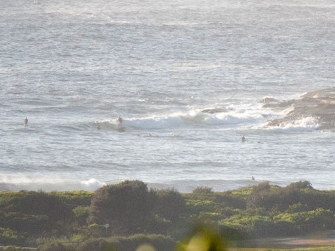
Light NNE wind this morning and a little line showing at Dee Why. The Bureau says we should have 1.5-2.5m of easterly swell today – which is a bit more enthusiastic than yesterday’s call. Tide was low at 0450, so this morning’s combo of light north wind and incoming tide, plus a little more swell should be delivering an option or two for the early.
Wind is going to ramp up from the NE soon though, so get it while you can.
Gotta run, catch ya later if I find anything of interest this morning.
Have a great Friday!
Weather Situation
A high pressure system near New Zealand will move slowly east over the next few days maintaining a ridge to the northwest while a low pressure system over the Coral Sea moves southwest and weakens. This pattern will direct generally east to northeasterly winds along New South Wales coast. The next southerly change is expected to develop along the southern half of the coast on Sunday.
Forecast for Friday until midnight
- Winds
- Northerly 15 to 20 knots turning northeasterly in the morning.
- Seas
- 1 to 1.5 metres, increasing to 1.5 to 2 metres around midday.
- Swell
- Easterly 1.5 to 2.5 metres.
- Weather
- Partly cloudy. 60% chance of showers offshore, 30% chance elsewhere. The chance of a thunderstorm in the early afternoon.
Saturday 24 January
- Winds
- Northeasterly 15 to 20 knots.
- Seas
- 1 to 1.5 metres.
- Swell
- Easterly 1 to 2 metres, decreasing to 1.5 metres during the afternoon.
- Weather
- Partly cloudy. 30% chance of a shower.
Sunday 25 January
- Winds
- North to northeasterly 10 to 15 knots ahead of south to southeasterly change 15 to 25 knots during the evening.
- Seas
- 1 to 1.5 metres.
- Swell
- Easterly 1.5 metres.
- Weather
- 50% chance of showers. The chance of a thunderstorm in the afternoon and evening.


