
Hello Friends,
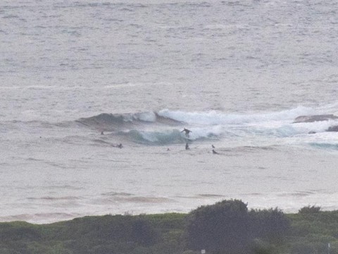
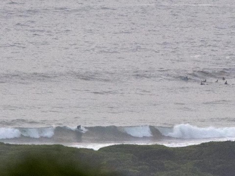
Light wind from the SW at 0700 and the south swell is up a touch over yesterday. Swell’s probably in the 1.5 metre range with an average period of 8-9 seconds. Dee Why point was around knee to waist and the beach closer to waist to chest (but shutting down quite a bit). Skies were more grey than anything else and first tide of the daylight hours was the low at 0700 (high’s at 1300).
The forecasts are showing conditions more or less bumbling along at the current levels of intensity, but the swell should gradually begin to swing to the east. Some of the models are projecting a small increase of the period into the 10 second range with average wave faces in the chest to shoulder high zone by Saturday. Annoyingly, they’re also showing a steady supply of NE wind right across the next 5-7 days. So, contestable size at Manly, but probably only clean for the earliest rounds.
Have yourself a great Tuesday – and keep on smilin’!
Weather Situation
A strong high over the southern Tasman Sea extends a ridge along the New South Wales coast, while a trough lies over the state’s west. A cold front is expected to pass to the south during Wednesday and Thursday as the high loses influence, although a new high will follow in it’s wake, re-establishing a ridge over much of New South Wales towards the end of the week.
Forecast for Tuesday until midnight
- Winds
- East to southeasterly 10 to 15 knots, becoming northeasterly in the afternoon.
- Seas
- Below 1 metre.
- Swell
- Southerly 1.5 metres.
- Weather
- Partly cloudy. 50% chance of showers.
Wednesday 11 February
- Winds
- Northeasterly 15 to 20 knots.
- Seas
- Around 1 metre, increasing to 1 to 1.5 metres during the afternoon.
- Swell
- Southeasterly 1.5 metres.
- Weather
- Partly cloudy. 40% chance of showers.
Thursday 12 February
- Winds
- Northeasterly 10 to 15 knots tending easterly during the evening.
- Seas
- Around 1 metre.
- Swell
- Easterly 1.5 metres.
- Weather
- Partly cloudy. 50% chance of showers. The chance of a thunderstorm.

