
Hello Friends,
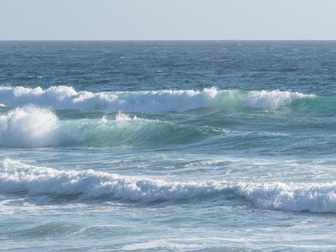
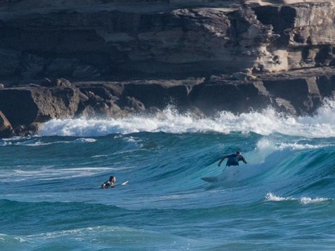
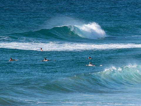
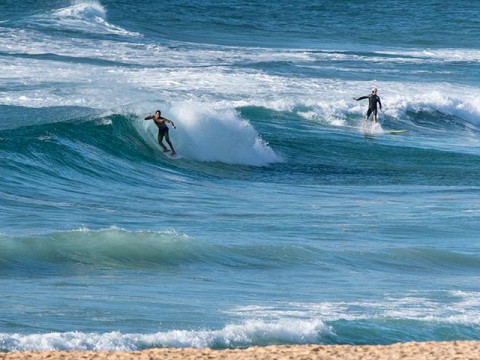
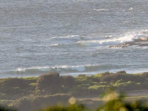
If you’re keen, there are definitely a few waist plus wave faces around the place. Dee Why point wasn’t doing anything at 0700, but there were waves up the beach. Surface conditions were choppy and wind was already NNE at 10+ kts.
Tides H @0645, L @1325
Outlook remains much the same as yesterday – fading, small and getting smaller E-NE wind chop through to mid-week with steady NE wind. Then around Thursday a longer period (10 seconds or thereabout) 2 metre east swell fills in. Unfortunately it still seems that we’re going to have heaps of NE to ENE wind with it, so early mornings will likely be the only shot at any quality. The models have the pulse lasting into Sunday (along with the wind) before fading out early next week. If I had to guess at the best shot, I’d say Sun and Monday for the early sesh.
Have a great Monday everyone!
Weather Situation
A slow-moving, strong high pressure system near New Zealand extends a ridge to the northwest and is directing east to northeasterly winds along New South Wales coast. Winds on the far south coast will briefly turn southerly Monday afternoon as a low pressure trough moves through.
Forecast for Monday until midnight
Winds
Northeasterly 15 to 25 knots.
Seas
1.5 to 2 metres.
Swell
Northeasterly 1 to 1.5 metres, increasing to 1.5 to 2 metres offshore.
Weather
Partly cloudy.
Tuesday 17 February
Winds
Northeasterly 15 to 25 knots.
Seas
1 to 2 metres.
Swell
Northeasterly 1 to 1.5 metres.
Weather
Mostly sunny.
Wednesday 18 February
Winds
Northeasterly 15 to 20 knots.
Seas
1 to 2 metres.
Swell
Northeasterly 1 to 1.5 metres.
Weather
Partly cloudy. 20% chance of a shower

