
Hello Friends,
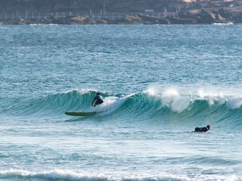
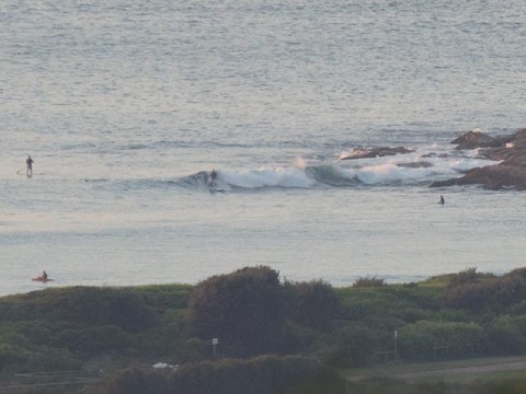
Nice looking sky as Thursday got started in Sydney. Ocean was smooth with only the tiniest of lines appearing every now and again. Wave faces were struggling to make waist high on the biggest ones. Only a few folks having a go at the point as of 0700. A sole kayaker was trundling around in the shories.
Outlook is still in line with the forecasts of the last few days. More smallness it seems until maybe Sunday arvo when we could see some very long period easterly energy. It’ll be interesting to see what the Goat thinks about the Monday-Tuesday period because I’m certainly liking the look of the forecast models.
Tide was low at 0730 and will be back to high at 1330.
Have yourself a great Thursday and keep on smilin’!
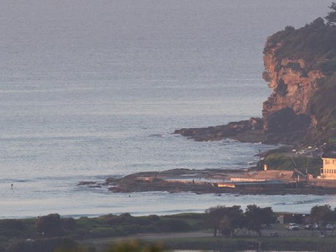
Little postcard from Manly…
Taken earlier…
Weather Situation
A cold front with a southerly change is extending to Sydney Waters early today before weakening on the central coast late morning as a high pressure system moves towards Tasmania extending a ridge along the coast. This high is expected to move over the southwestern Tasman Sea during Friday strengthening the ridge over the north coast.
Forecast for Thursday until midnight
- Winds
- Northerly 15 to 20 knots shifting southerly in the morning.
- Seas
- 1 to 1.5 metres.
- Swell
- Easterly below 1 metre.
- Weather
- Partly cloudy. 70% chance of showers. The chance of a thunderstorm.
Friday 13 March
- Winds
- South to southeasterly 15 to 20 knots, reaching up to 25 knots inshore in the late morning.
- Seas
- 1.5 to 2 metres.
- Swell
- Southerly around 1 metre.
- Weather
- Cloudy. 70% chance of showers. The chance of a thunderstorm offshore in the morning.
Saturday 14 March
- Winds
- Southeasterly 15 to 20 knots turning northeasterly 10 to 15 knots during the evening.
- Seas
- 1 to 1.5 metres, decreasing below 1 metre during the morning.
- Swell
- Easterly around 1 metre.
- Weather
- Partly cloudy. 30% chance of showers.

