Hello Friends,
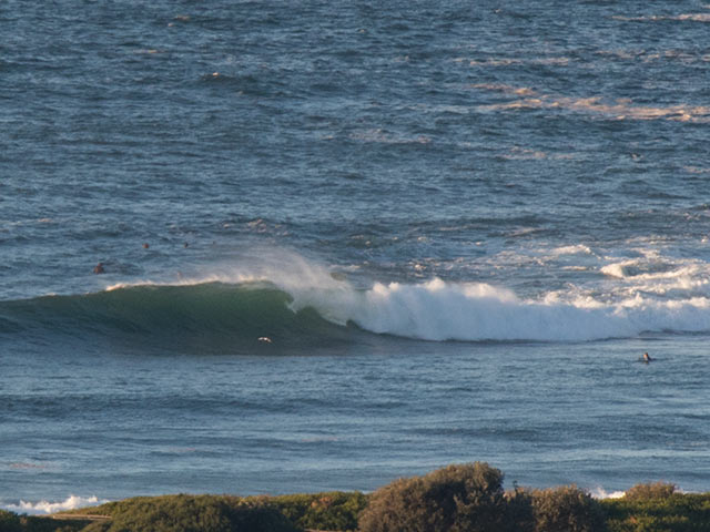
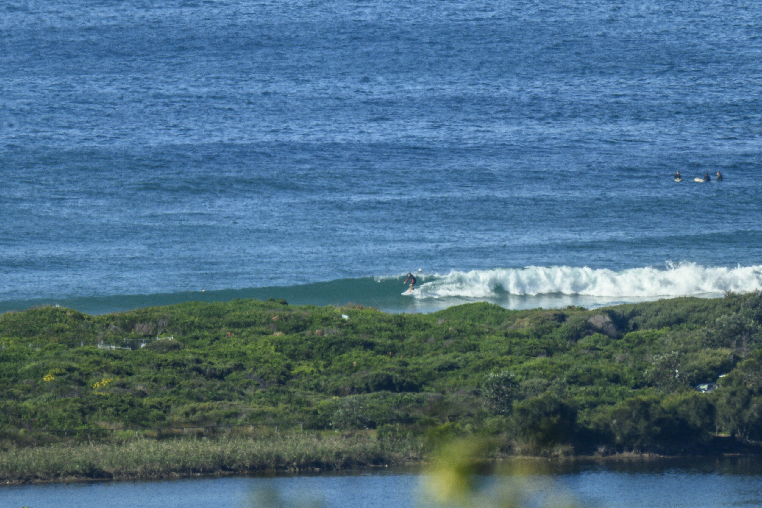
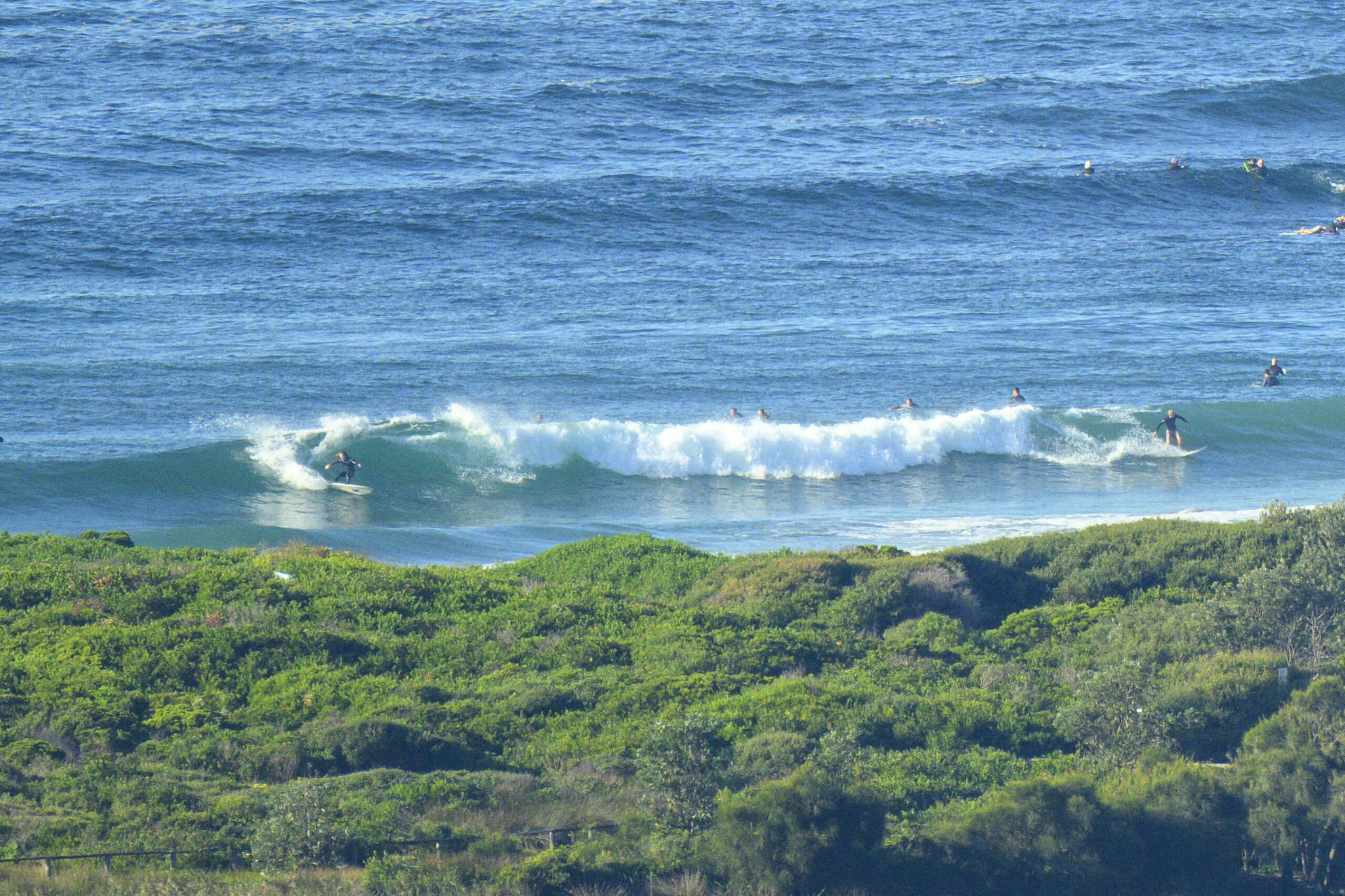
Cold enough for you this morning? RealSurf HQ was sitting on a balmy 9C at 0700. But that wasn’t putting off a hardy crew at Dee Why point who were jagging the odd shoulder to head high plus wave when I checked for the first time. There are almost certainly bigger ones in the mix, but my fingers were getting numb waiting for a set to turn up.
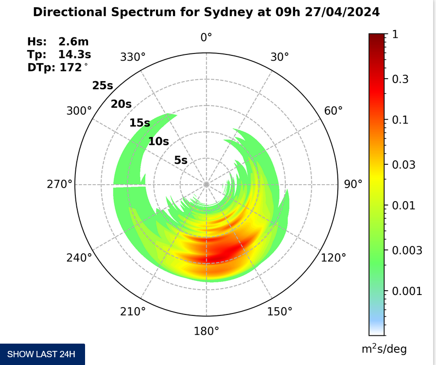
At 0600 the MHL buoy was recording 3.7m of swell with maximum swell + sea heights of 7.3 metres. It was coming from the SSE at 11 seconds apart. Water temp out at the buoy was a mild 21C.
Wind was westerly at around 15-20 kts and the Bureau says we can expect 15-25 kts SW across the day.
Tide was high at 0750 and will be back to low at 1340.
From the shape of the modelling this morning, we’re looking at the peak of the swell this morning. Happily they generally seem to be predicting that the decline back to small will be very gradual and with luck we should have surf for the next 4-5 days.
I’m hoping to get out and about with the camera this afternoon, so check back later for more piccies.
Have a great day one and all.
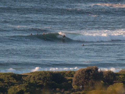
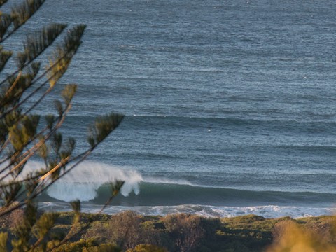
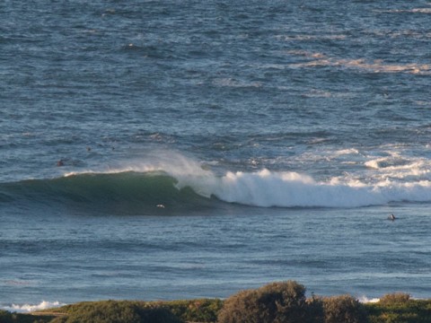
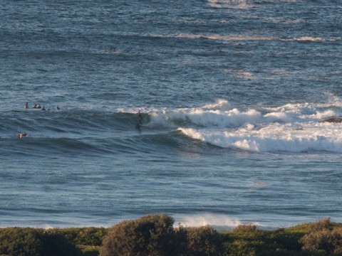
.
.
.
.
Weather Situation
A cold front is moving across the southern Tasman Sea and a strong high pressure system south of Adelaide is moving slowly east. Between the two systems a vigorous southwesterly airstream is being directed along the New South Wales coast. Winds are expected to gradually ease during Tuesday afternoon as the high moves into western parts of the state. By Wednesday the southwesterly airstream along the coast should have moderated.
Forecast for Tuesday until midnight
Strong Wind Warning for Tuesday for Sydney Coast
Winds
Southwesterly 15 to 25 knots, reaching up to 30 knots offshore during the day.
Seas
2 to 3 metres, decreasing below 2 metres later in the evening.
Swell
Southerly 2.5 to 3 metres.
Weather
Partly cloudy. 60% chance of showers offshore, 20% chance elsewhere.
Caution
Large and powerful surf conditions are expected to be hazardous for coastal activities such as crossing bars by boat and rock fishing.
Wednesday 3 June
Winds
Southwesterly 10 to 15 knots, reaching up to 20 knots offshore early in the morning. Winds becoming variable below 10 knots in the late afternoon.
Seas
1 to 1.5 metres, decreasing below 1 metre during the morning.
Swell
Southerly 2.5 to 3 metres, tending southeasterly 2.5 metres during the afternoon.
Weather
Partly cloudy. 60% chance of showers offshore, 30% chance elsewhere.
Caution
Large and powerful surf conditions are expected to be hazardous for coastal activities such as crossing bars by boat and rock fishing, easing in the afternoon.
Thursday 4 June
Winds
Variable about 10 knots becoming west to northwesterly 10 to 15 knots during the evening.
Seas
Below 1 metre.
Swell
Southeasterly 2 to 2.5 metres.
Weather
Partly cloudy. 40% chance of showers.
