Hello Friends,
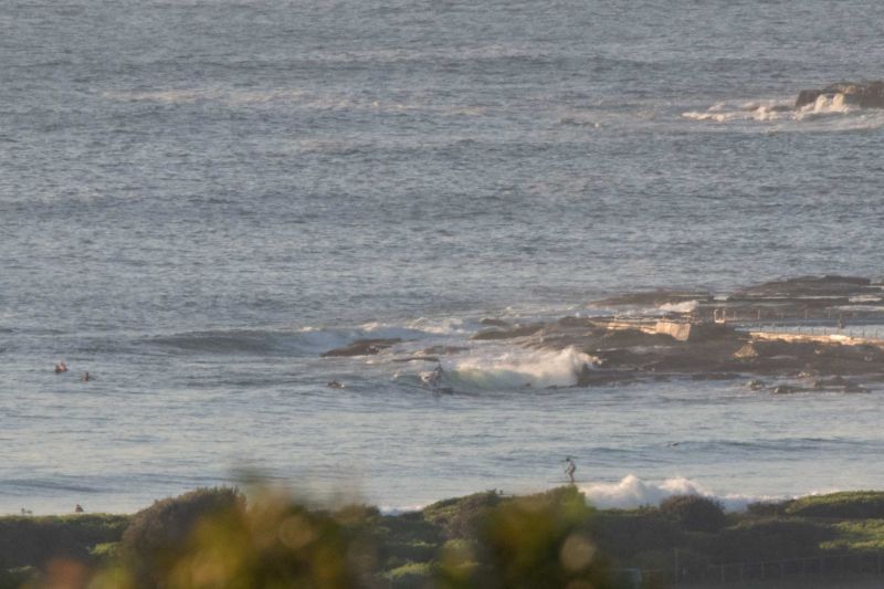
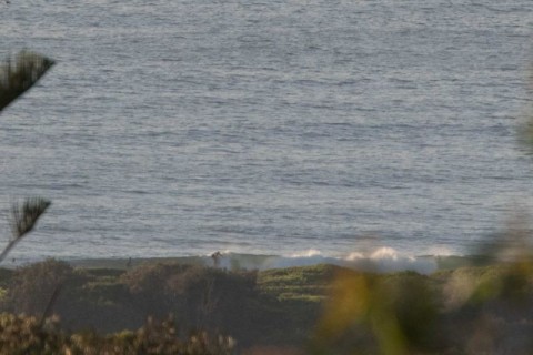
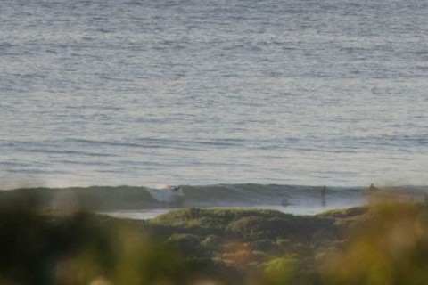
At 0700 skies were mostly clear, wind was lightly SSW and there was a tiny ESE line at about 8 seconds coming into the beaches of Sydney. At Dee Why there were ankle to knee high wavelets with the odd slightly bigger one every now and then. As the pictures show, there were a few takers too.
The Bureau tells us that the wind will soon come around to the SE as it builds into strong southerlies tomorrow. Swell should be coming up from the south during the day and tomorrow the Bureau says we’ll have a mix of 2-3 metre south and one metre of east swell – plus that 15-25kts of southerly.
But Thursday is still looking very interesting: light WSW early and 2.5-3 metres of swell with 1 metre of east to make things interesting. Should be sunny and warm too. With any luck, it’ll be fun all morning on a dropping tide.
Friday morning for the early looks hopeful as well.
And some of the long range charts for next week are hinting that Thursday might just be the opening act… is this really summer?
Gotta jam, so have yourself a great day and stay happy!

Weather Situation
A high pressure system near New Zealand extends a ridge towards northeast New South Wales. A deep low to the south of Tasmania is moving slowly east, with an associated cold front bringing a vigorous southerly change to the southern and central New South Wales coast this morning, extending to northern waters tonight. A high pressure ridge will become established over the state’s east in the wake of this front, with winds gradually easing and shifting more northerly again during the second half of the week.
Forecast for Tuesday until midnight
Winds
Southwesterly 10 to 15 knots becoming south to southeasterly 15 to 25 knots during in the morning.
Seas
1.5 to 2 metres.
1st Swell
Southerly below 1 metre, increasing to 1 to 1.5 metres by evening.
2nd Swell
Easterly 1 to 1.5 metres.
Weather
Becoming cloudy. 50% chance of showers.
Wednesday 17 February
Strong Wind Warning for Wednesday for Sydney Coast
Winds
Southerly 15 to 25 knots, reaching 30 knots offshore in the morning, decreasing to 10 to 15 knots in the evening.
Seas
1.5 to 2.5 metres, decreasing to 1 to 1.5 metres during the morning.
1st Swell
Southerly 2 to 3 metres.
2nd Swell
Easterly around 1 metre.
Weather
Partly cloudy. 20% chance of a shower.
Thursday 18 February
Winds
West to southwesterly about 10 knots tending easterly 10 to 15 knots during the afternoon then tending northeasterly during the evening.
Seas
Around 1 metre.
1st Swell
Southerly 2.5 to 3 metres.
2nd Swell
Easterly around 1 metre.
Weather
Mostly sunny.
Please be aware
Wind gusts can be 40 percent stronger than the averages given here, and maximum waves may be up to twice the height.
Nearby Coastal WatersThis forecast is also available via scheduled broadcasts on marine radio.
Latest Coastal Observations
Tide Predictions
The next routine forecast will be issued at 4:05 pm EDT Tuesday.
Product IDN11009


