Hello Friends,
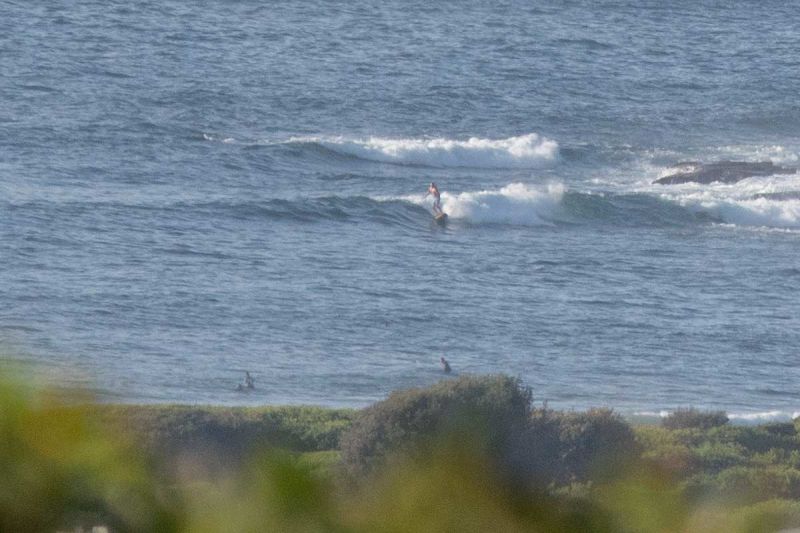
Another click down in the energy levels this morning at Dee Why, but there was a little wave at the point and plenty of folk along the beach. If you go expecting knee with the odd waist, you shouldn’t be disappointed. Wind was light from the north but it’ll come around to the NE later as it gets into the 10-15 kt range.
Tide was low at 0630 and will be high at 1240. Weather should be sunny and 29 along the beaches.
This morning’s swell modelling is pointing toward more or less the same settings through mid-week. Depending on who’s doing the predicting, some are predicting a south pulse from around Wednesday as the wind swings to the south and slings some shortish period windswell at us. Right now Wed-Thr looks like protected corners only. The Bureau’s models show Friday being offshore (is autumn finally here?)
Have a top Sunday everyone!

Weather Situation
A slow-moving high pressure system over the eastern Tasman Sea extends a ridge to the northern New South Wales coast, directing east to northeasterly winds across New South Wales waters. A southerly change is expected to extend along the southern and central coast on Monday.
Forecast for Sunday until midnight
Winds
Northeasterly 10 to 15 knots.
Seas
Around 1 metre.
Swell
East to northeasterly around 1 metre.
Weather
Partly cloudy.
Monday 14 March
Winds
Northerly 10 to 15 knots shifting south to southeasterly in the early afternoon then becoming variable about 10 knots in the evening.
Seas
Around 1 metre, decreasing below 1 metre around midday.
Swell
Northeasterly around 1 metre, increasing to 1 to 1.5 metres offshore.
Weather
Partly cloudy. 60% chance of showers. The chance of a thunderstorm.
Tuesday 15 March
Winds
East to northeasterly 15 to 25 knots turning south to southeasterly 15 to 20 knots during the day.
Seas
Around 1 metre, increasing to 1.5 to 2.5 metres inshore during the morning.
Swell
Northeasterly 1 to 1.5 metres, tending easterly 1 to 1.5 metres during the morning.
Weather
Cloudy. 90% chance of rain. Rain heavy at times.
Please be aware
Wind gusts can be 40 percent stronger than the averages given here, and maximum waves may be up to twice the height.
Nearby Coastal WatersThis forecast is also available via scheduled broadcasts on marine radio.
Latest Coastal Observations
Tide Predictions
The next routine forecast will be issued at 4:05 pm EDT Sunday.
Product IDN11009


