Hello Friends,
After dry weeks and heat, finally a few showers and slightly cooler temps. NASA tells us that worldwide, February was the most abnormally hot month ever recorded.
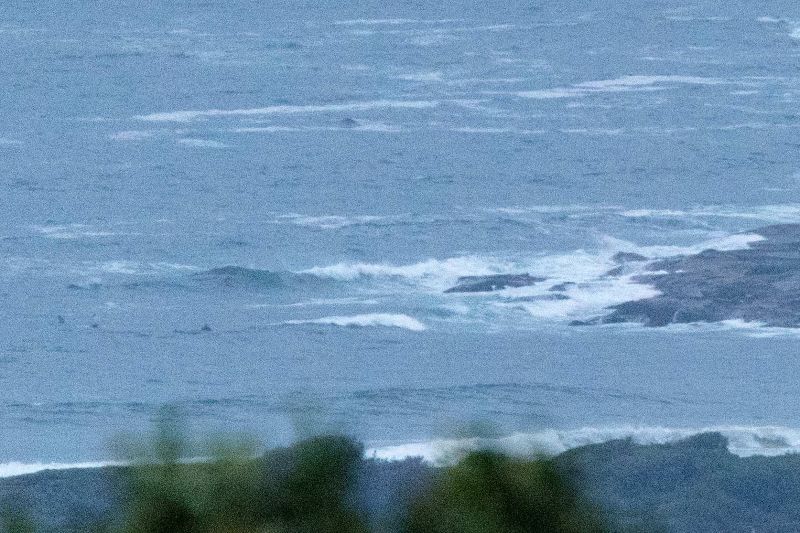
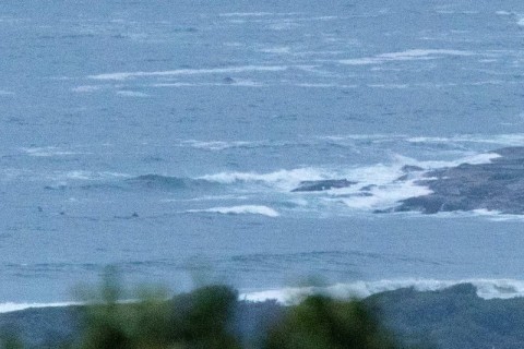
Wind was light and SW early, so when I grabbed the pic it was comparatively smooth at Dee Why. Tide was dropping to the low at 0840. It’ll be back to high at 1445.
According to the MHL buoy data, the swell energy was coming mainly from the ESE. It was about 1.5 metres with a peak period around the 10 second mark. The rain came down again before I could get a snap of someone on a wave, but from where they were sitting, I reckon it’d be knee to waist.
The wind’s going to swing south and pick up soon, so the surf options will contract to the usual corners. And the forecast is for the SE’r to push along through to Thursday morning. Waves should push up a little with it and there seems to still be a prospect for fun conditions Thursday morning. Friday looks to be a little smaller and Saturday too, but then some of the models are showing a longer period pulse for Sunday with the potential to be fairly solid during the morning.
Have yourself a top old Tuesday and stay happy!
Weather Situation
A weakening high pressure ridge extends from New Zealand to the northern New South Wales coast, while a slow-moving trough lies over the Hunter coast. The ridge is directing east to northeasterly winds over the north coast, while southerly winds affect coastal parts south of the trough. A south to southeast airstream will become established along the whole coast by the end of today, directed by a strong high pressure system over the southwestern Tasman Sea. Winds will shift east to northeasterly along southern parts of the coast on Thursday ahead of an approaching cold front.
Forecast for Tuesday until midnight
Winds
South to southeasterly 15 to 25 knots.
Seas
1 to 1.5 metres, increasing to 1.5 to 2.5 metres during the morning.
1st Swell
East to northeasterly 1 to 1.5 metres.
2nd Swell
Southerly around 1 metre.
Weather
Cloudy. 90% chance of showers. The chance of a thunderstorm this morning.
Wednesday 16 March
Winds
Southeasterly 15 to 20 knots, reaching up to 25 knots offshore early in the morning.
Seas
1.5 to 2 metres, decreasing to 1 to 1.5 metres during the morning.
1st Swell
South to southeasterly 1 to 1.5 metres.
2nd Swell
Easterly around 1 metre.
Weather
Partly cloudy. 60% chance of showers.
Thursday 17 March
Winds
South to southeasterly 10 to 15 knots tending east to northeasterly below 10 knots during the evening.
Seas
Around 1 metre.
1st Swell
Southeasterly 2 metres.
2nd Swell
Easterly around 1 metre.
Weather
Partly cloudy. 30% chance of a shower.


