
Hello Friends,
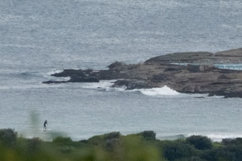
As the showers lifted at around 0900, less than a metre of 6-second east bump was trickling in and for all intents and purposes it’s flat. Tide’s low at 0930 and will be high again at 1540. Wind was north 15-20 kts and is set to go SW later.
As the Goat warned on Thursday, we shouldn’t expect much in the way of wave energy for the coming week. Sigh.
Have yourself a great Sunday anyway!
Weather Situation
A strong high pressure system over the Tasman Sea is slowly moving east, maintaining a ridge across northeast New South Wales and directing northeast to northwesterly winds over the coastal waters. A fast-moving cold front will bring a south to southwesterly change to the south coast from this afternoon, extending to northern parts during Monday. Behind the front, a ridge will strengthen over New South Wales during Monday, with winds swinging back to northeasterly. A west to southwesterly wind change is expected late Monday or early Tuesday.
Forecast for Sunday until midnight
Winds
North to northwesterly 15 to 20 knots, reaching up to 25 knots offshore in the late morning and afternoon. Winds shifting southwesterly 15 to 20 knots late evening.
Seas
1 to 1.5 metres, increasing to 1 to 2 metres during the morning.
Swell
Northeasterly below 1 metre.
Weather
Partly cloudy. 60% chance of showers this morning. The chance of a thunderstorm offshore this morning.
Monday 2 May
Winds
Southwesterly 15 to 20 knots tending northeasterly 10 to 15 knots in the middle of the day then tending north to northwesterly in the late evening.
Seas
1 to 1.5 metres.
Swell
Southerly around 1 metre.
Weather
Sunny.
Tuesday 3 May
Winds
Northwest to southwesterly 15 to 20 knots.
Seas
1 to 1.5 metres, decreasing to 1 metre during the morning.
Swell
Southerly 1 to 1.5 metres, decreasing to around 1 metre during the afternoon.
Weather
Sunny.


